Near Brockway in McCone County, Montana — The American West (Mountains)
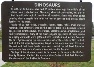
Dinosaurs
Its difficult to believe now, but 65 million years ago the middle of this continent was a shallow sea. The area, when not underwater, was part of a hot, humid subtropical coastline of marshes, rivers and river deltas bearing dense vegetation near the water courses and grassy plains father to the west.
Fossils tell us that turtles, crocodiles, lizards, toads, small primitive mammals and dinosaurs lived on this coastal plain. The dinosaurs included species like Tyrannosaurus, Triceratops, Edmontosaurus, Ankylosaurus and Pachycephalosaurus. Many of the most complete specimens of these species on display worldwide were gathered here in Garfield and McCone Counties. The first Tyrannosaurus rex skeleton came out of these hills in 1902. In fact, half of the 30 some tyrannosaurus found in the world are from this area. The rock unit that these fossils came from is called the Hell Creek Formation and extends over much of eastern Montana and the Dakotas.
Displays of the dinosaurs found in this area can be seen in the Garfield County Museum, the Fort Peck Interpretive Center at Fort Peck Dam and the Museum of the Rockies in Bozeman.
Erected by Montana Department of Transportation.
Topics. This historical marker is listed in this topic list: Paleontology.
Location. 47° 19.512′ N, 106° 10.268′ W. Marker is near Brockway, Montana, in McCone County. Marker is at the intersection of State Highway 200 at milepost 248, and South Flowing Wells Road, on the left when traveling west on State Highway 200. Touch for map. Marker is in this post office area: Brockway MT 59214, United States of America. Touch for directions.
Other nearby markers. At least 2 other markers are within walking distance of this marker. Fort Peck Dam and Lake (a few steps from this marker); Join the Voyage of Discovery (within shouting distance of this marker).
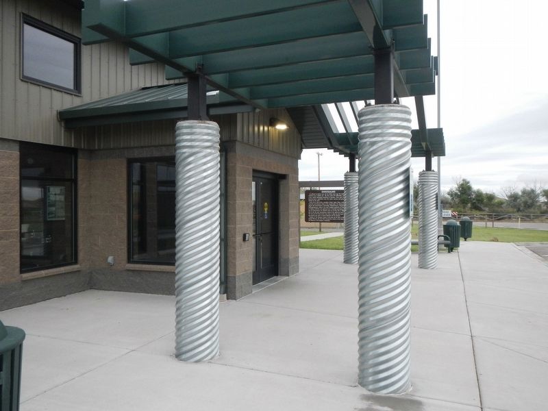
More about this marker. This marker is located at the Flowing Wells Rest Area.
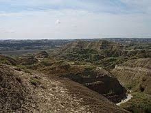
Also see . . . Hell Creek Formation -- Wikipedia. The Hell Creek Formation is an intensively-studied division of mostly Upper Cretaceous and some lower Paleocene rocks in North America, named for exposures studied along Hell Creek, near Jordan, Montana. The formation stretches over portions of Montana, North Dakota, South Dakota, and Wyoming. (Submitted on December 9, 2019, by Barry Swackhamer of Brentwood, California.)
Credits. This page was last revised on March 20, 2022. It was originally submitted on December 9, 2019, by Barry Swackhamer of Brentwood, California. This page has been viewed 279 times since then and 9 times this year. Last updated on July 20, 2020, by Connor Olson of Kewaskum, Wisconsin. Photos: 1, 2, 3. submitted on December 9, 2019, by Barry Swackhamer of Brentwood, California. • Andrew Ruppenstein was the editor who published this page.


