Canyon Heights - Vallejo Mills in Fremont in Alameda County, California — The American West (Pacific Coastal)
Paths Through a Varied Landscape
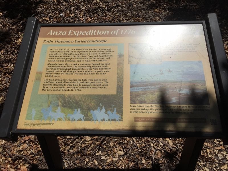
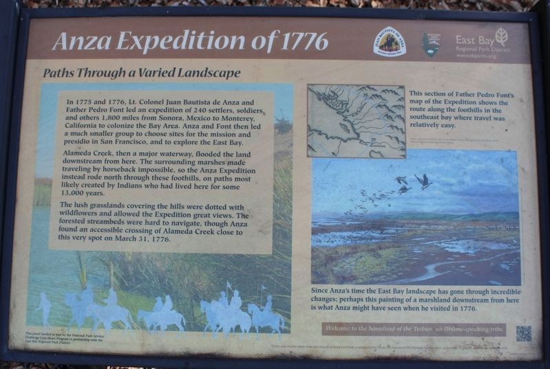
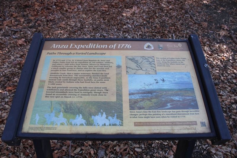
Anza Expedition of 1776
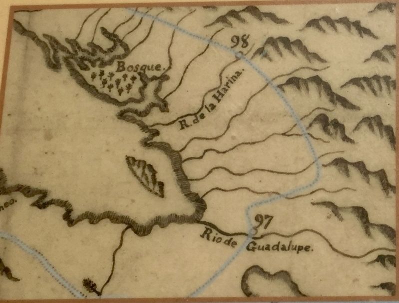
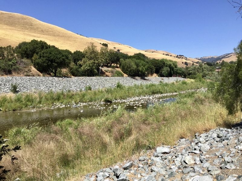
Alameda Creek, then a major waterway, flooded the land downstream from here. The surrounding marshes made traveling by horseback impossible, so the Anza Expedition instead rode north through these foothills, on paths most likely created by Indians who had lived here for some 13,000 years.
The lush grasslands covering the hills were dotted with wildflowers and allowed the Expedition great views. The forested streambeds were hard to navigate, though Anza found an accessible crossing of Alameda Creek close to this very spot on March 31, 1776.
Erected by East Bay Regional Park District.
Topics and series. This historical marker is listed in these topic lists: Exploration • Settlements & Settlers. In addition, it is included in the Juan Bautista de Anza National Historic Trail series list. A significant historical date for this entry is March 31, 1776.
Location. 37° 34.756′ N, 121° 57.961′ W. Marker is in Fremont, California, in Alameda County. It is in Canyon Heights - Vallejo Mills. Marker can be reached from Old Canyon Road. Touch for map. Marker is in this post office area: Fremont CA 94536, United States of America. Touch for directions.
Other nearby markers. At least 8 other markers are within 2 miles of this marker, measured as the crow flies. Site of First Post Office (approx. 0.6 miles away); Completion of the Transcontinental Railroad (approx. 0.6 miles away); Vallejo Flour Mill (approx. 0.6 miles away); “The Bankers Building” (approx. 0.7 miles away); Essanay Studio Site (approx. ¾ mile away); Essanay Film Studio (approx. 0.9 miles away); Mormon Pioneers / Mormon Pioneer Adobes (approx. 1.3 miles away); The Shinn Family Nursery and Ranch (approx. 1.3 miles away). Touch for a list and map of all markers in Fremont.
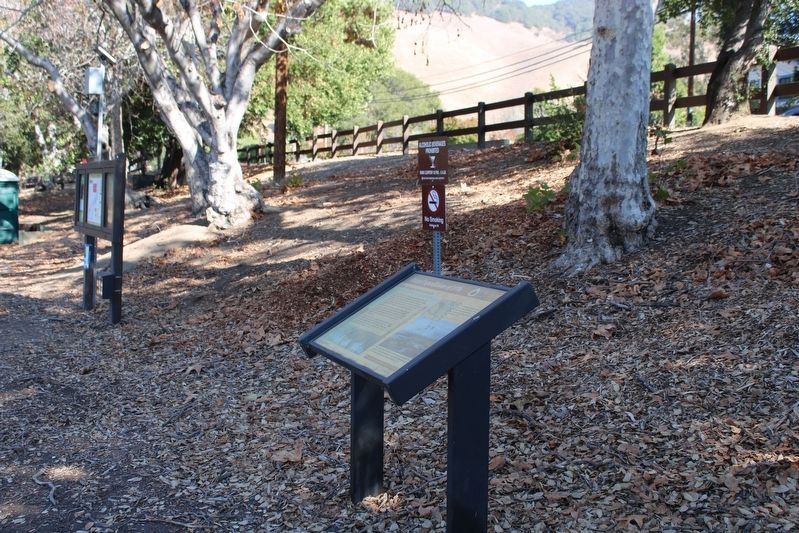
More about this marker. The marker is located on the edge of the parking lot in the Niles Staging Area for the Alameda Creek Regional Trial, which is off of Old Canyon Road.
Credits. This page was last revised on February 7, 2023. It was originally submitted on July 21, 2020, by Andrew Ruppenstein of Lamorinda, California. This page has been viewed 196 times since then and 21 times this year. Last updated on July 2, 2021, by Diane Phillips of Pittsburg, California. Photos: 1. submitted on July 21, 2020, by Andrew Ruppenstein of Lamorinda, California. 2, 3, 4. submitted on October 18, 2022, by Joseph Alvarado of Livermore, California. 5, 6. submitted on July 21, 2020, by Andrew Ruppenstein of Lamorinda, California.
