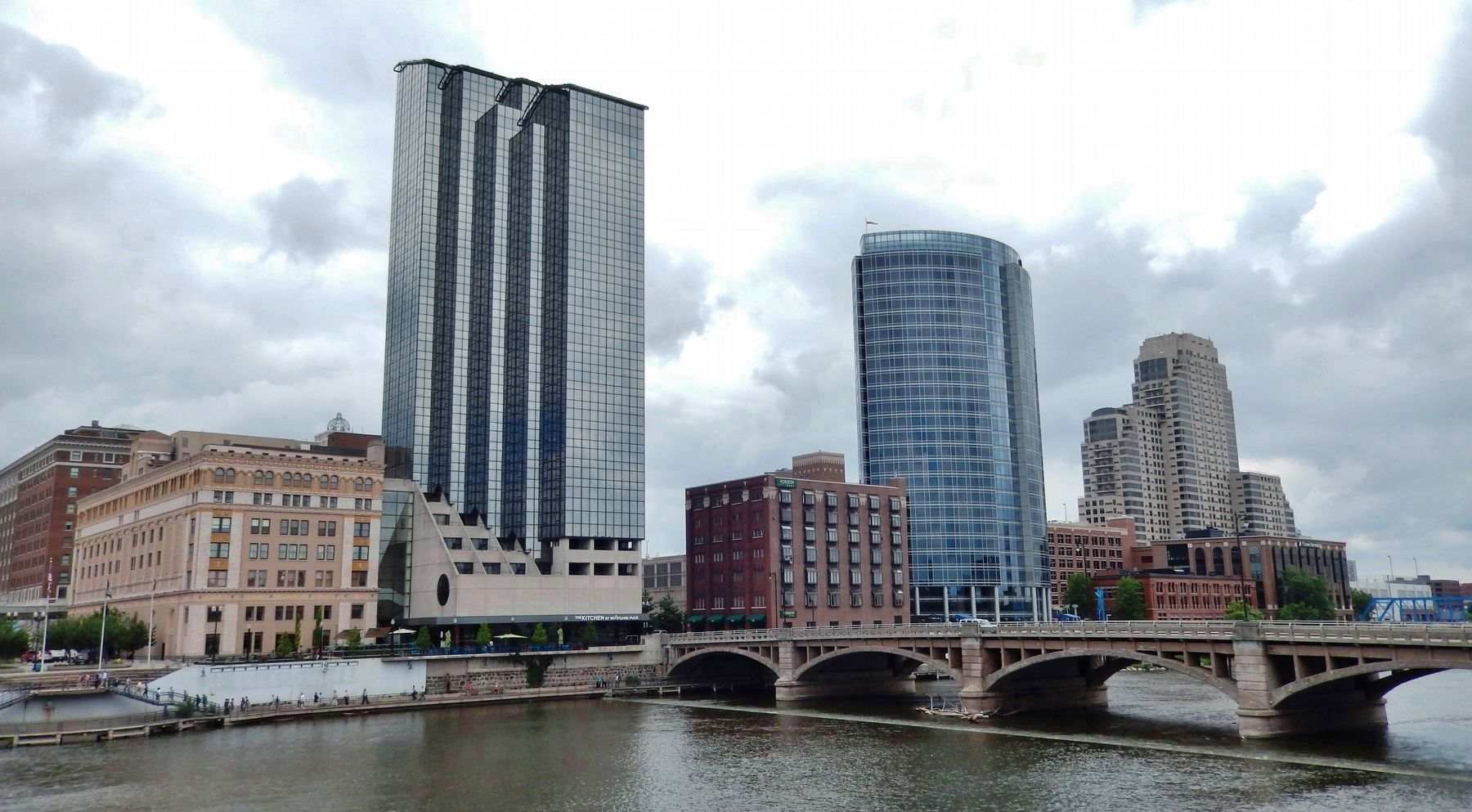
Downtown in Grand Rapids in Kent County, Michigan — The American Midwest (Great Lakes)
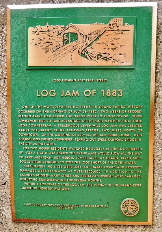
Log Jam of 1883
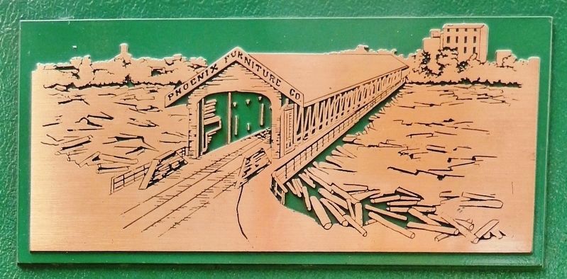
One of the most devastating events in Grand Rapids’ history occurred on the morning of July 26, 1883. Two weeks of record-setting rains had raised the Grand River to flood stage. When lumbermen tried to take advantage of the high water to float their logs downstream, a tremendous seven-mile log jam was created above the Grand Trunk Railroad Bridge, two miles north of downtown. On the morning of July 26, the jam broke loose. Over 600,000 logs rushed downriver, tearing out every railroad bridge in the city as they went.
For two hours residents watched helplessly as the logs roared by. For a time it was feared the entire mass would flow all the way to Lake Michigan, but heroic lumberjacks at Grand Haven built booms strong enough to stop the logs short of the open water.
Fortunately, no lives were lost, but timber losses and property damages were estimated at over $500,000. In addition to the railroad bridges, many street and pedestrian bridges were damaged, disrupting transportation for several months.
Within a few years of the log jam, the heyday of the Grand River lumbering industry was over.
Erected 1988 by The Junior League of Grand Rapids.
Topics. This historical marker is listed in these topic lists: Bridges & Viaducts • Disasters • Industry & Commerce • Waterways & Vessels. A significant historical date for this entry is July 26, 1883.
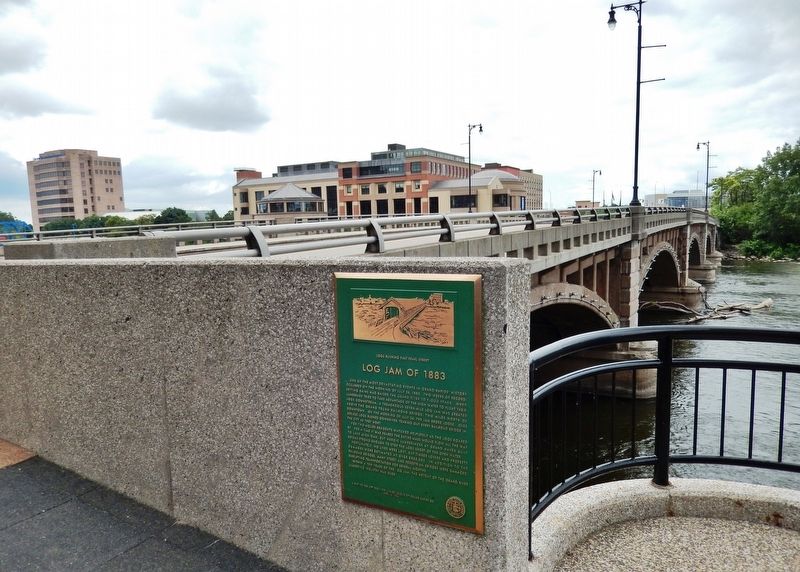
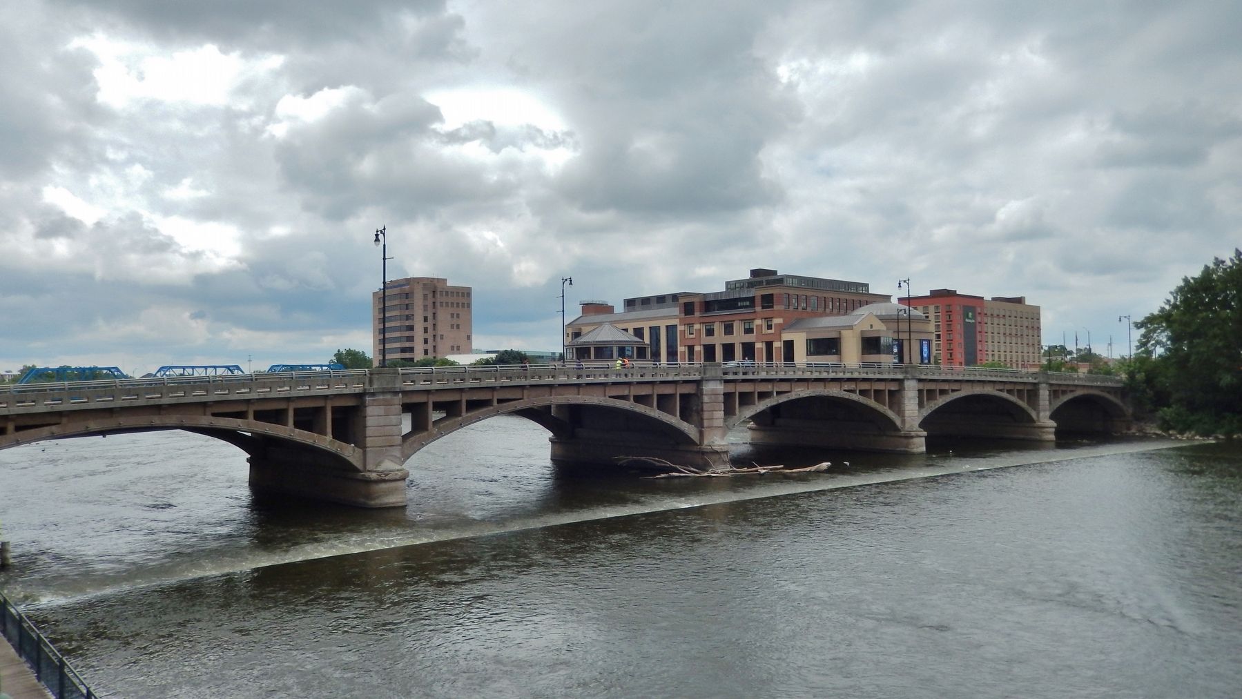
Location. 42° 57.994′ N, 85° 40.467′ W. Marker is in Grand Rapids, Michigan, in Kent County. It is in Downtown. Marker can be reached from Pearl Street Northwest, 0.1 miles west of Monroe Avenue Northwest, on the right when traveling west. Marker is mounted at knee-level near the northeast corner of the Pearl Street Bridge. Touch for map. Marker is at or near this postal address: 250 Pearl Street Northwest, Grand Rapids MI 49503, United States of America. Touch for directions.
Other nearby markers. At least 8 other markers are within walking distance of this marker. The Salvation Army (about 400 feet away, measured in a direct line); Grand River Bridges (about 400 feet away); Vandenberg Center / Arthur Hendrick Vandenberg (about 700 feet away); Furniture Industry (about 700 feet away); Betty Ford (approx. 0.2 miles away); Gerald R. Ford (approx. 0.2 miles away); Valley City Milling Company (approx. 0.2 miles away); Noahquageshik (approx. 0.2 miles away). Touch for a list and map of all markers in Grand Rapids.
Also see . . . Grand Jam of 1883. Michigan Live website entry:
July 26: The Detroit, Grand Haven and Milwaukee Railroad Bridge collapses from the pressure of logs, causing thousands of logs to rush underneath the Leonard Street, Bridge Street and Peal Street bridges. The Grand Rapids and Indiana Railroad bridge and the C&M bridge are destroyed. (Submitted on July 21, 2020, by Cosmos Mariner of Cape Canaveral, Florida.)
Credits. This page was last revised on March 18, 2022. It was originally submitted on July 21, 2020, by Cosmos Mariner of Cape Canaveral, Florida. This page has been viewed 434 times since then and 70 times this year. Photos: 1, 2, 3, 4, 5. submitted on July 21, 2020, by Cosmos Mariner of Cape Canaveral, Florida.
