Altadena in Los Angeles County, California — The American West (Pacific Coastal)
MacPherson Parkway
Mount Lowe Park
Photographed by Craig Baker, July 14, 2020
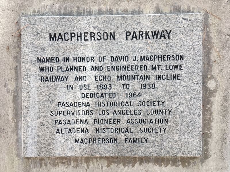
1. MacPherson Parkway Marker
Named in honor of David J. MacPherson who planned and engineered Mt. Lowe Railway and Echo Mountain Incline, in use 1893 to 1938.
Erected 1964 by Pasadena Historical Society, Supervisors Los Angeles County, Pasadena Pioneer Association, Altadena Historical Society, MacPherson Family.
Topics. This historical marker is listed in these topic lists: Parks & Recreational Areas • Railroads & Streetcars. A significant historical year for this entry is 1893.
Location. 34° 11.875′ N, 118° 7.571′ W. Marker is in Altadena, California, in Los Angeles County. It is on Mt Lowe Drive just south of Maiden Lane, in the median. Touch for map. Marker is in this post office area: Altadena CA 91001, United States of America. Touch for directions.

Regionally, this marker is in Greater Los Angeles and in the Transverse Ranges. It is also on the American Pacific Coast. Globally, it is in North America, on the Ring of Fire, on the Pacific Rim, in the Western Hemisphere, in the Western World, and in the Anglosphere. Historically, it finds itself in what was once New Spain and also Mexico’s Alta California.
Other nearby markers. At
this page online
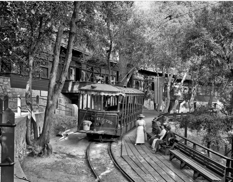
Regarding MacPherson Parkway. During the early 1900’s, tourists could take the Pacific Electric trolly from Los Angeles to Rubio Canyon, then take the Incline Railway to the top of Echo Mountain, and then take another electric trolly to the Alpine Tavern hotel, all for one dollar. The hotel burned down in 1936, and was not rebuilt due to the Great Depression.
MacPherson Parkway, also known as Mount Lowe Park, was originally part of the railway into Rubio Canyon.
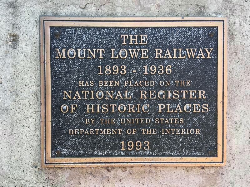
On January 6, 1993, the Mount Lowe Railway was listed on the National Register of Historic Places. On July 4, 1993, a centennial celebration was held on Echo Mountain, and a separate celebration was
Photographed by Craig Baker, July 14, 2020
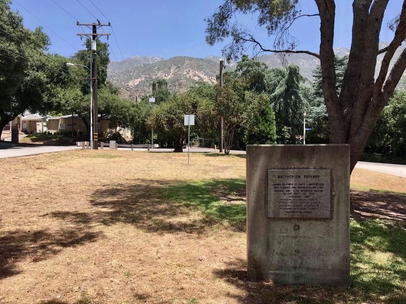
2. MacPherson Parkway Marker
Echo Mtn and Mt Lowe can be seen in the distance.
Also see . . . Mount Lowe Timeline. (Submitted on July 21, 2020.)
Photographed by Craig Baker, July 17, 2022
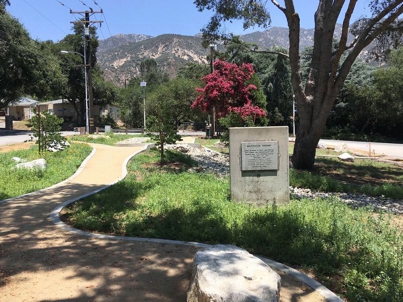
3. MacPherson Parkway Marker
Photographed by Craig Baker, July 14, 2020
4. National Register of Historic Places
Mount Lowe Railway 1893-1936. This plaque, installed in 1993, is on the back of the monument. An identical plaque is on the mountain.
Photographed by Craig Baker, July 14, 2020
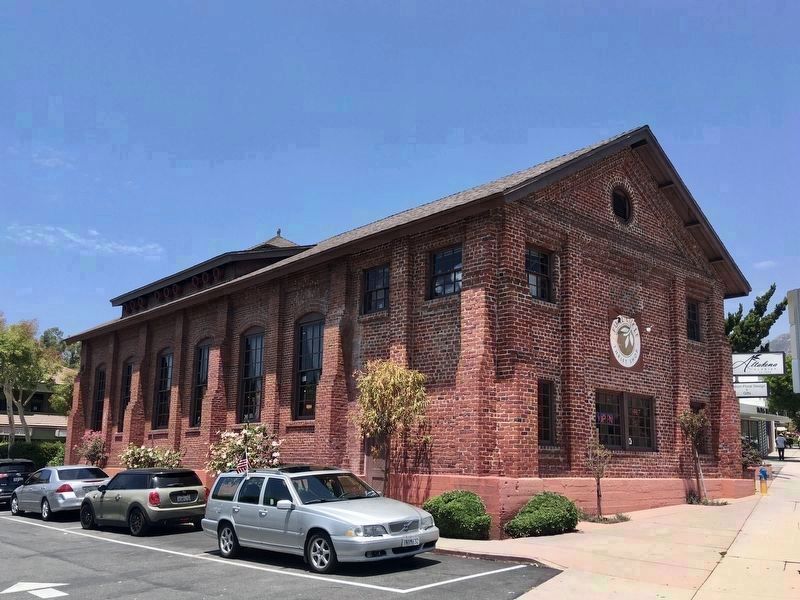
5. Historic Powerhouse
Located one mile southwest of the marker, at 2245 Lake Ave, Altadena Substation #8 of the Pacific Electric Railway. Added to the National Register of Historic Places in 1979. Today it houses a clothing store.

circa 1915
6. Incline Railway
circa 1913
7. Alpine Tavern
from Wikimedia Commons
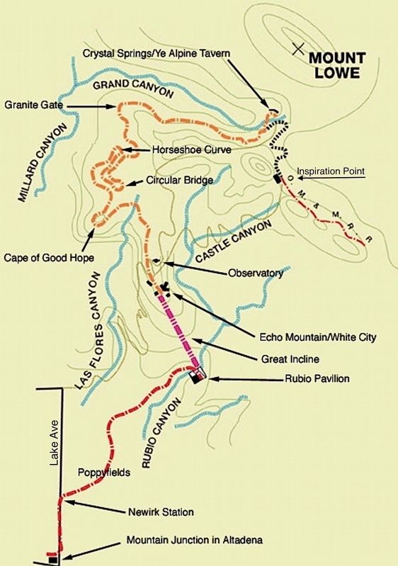
8. Mount Lowe Railway Map
"Poppyfields" is the location of MacPherson Parkway.
Credits. This page was last revised on August 25, 2026. It was originally submitted on July 21, 2020, by Craig Baker of Sylmar, California. This page has been viewed 1,584 times since then and 63 times this year. Photos: 1, 2. submitted on July 21, 2020, by Craig Baker of Sylmar, California. 3. submitted on October 20, 2022, by Craig Baker of Sylmar, California. 4, 5, 6, 7. submitted on July 21, 2020, by Craig Baker of Sylmar, California. 8. submitted on May 29, 2024, by Craig Baker of Sylmar, California. • J. Makali Bruton was the editor who published this page.
