Temecula in Riverside County, California — The American West (Pacific Coastal)
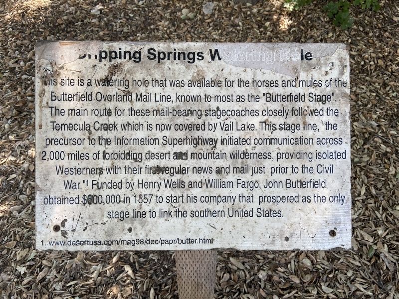
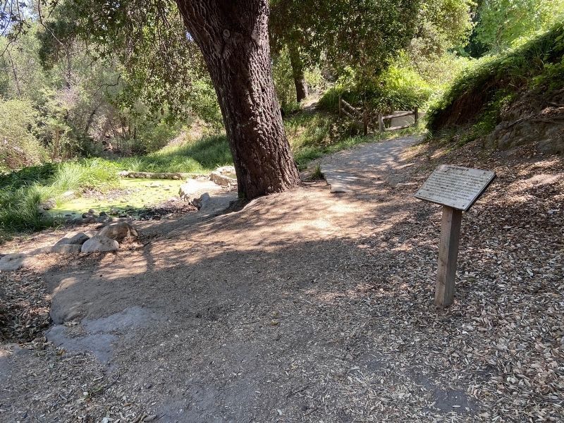
Dripping Springs Watering Hole
This site is a watering hole that was available for the horses and mules of the Butterfield Overland Mail Line, known to most as the "Butterfield Stage". The main route for these mail-bearing stagecoaches closely followed the Temecula Creek which is now covered by Vail Lake. This stage line, "the precursor to the Information Superhighway initiated communication across 2,000 miles of forbidding desert and mountain wilderness, providing isolated Westerners with their first regular news and mail just prior to the Civil War."1 Funded by Henry Wells and William Fargo, John Butterfield obtained $600,000 in 1857 to start his company that prospered as the only stage line to link the southern United States.
1. www.desertusa.com/mag98/dec/papr/butter.html
Topics and series. This historical marker is listed in these topic lists: Communications • Industry & Commerce • Roads & Vehicles. In addition, it is included in the Butterfield Overland Mail series list. A significant historical year for this entry is 1857.
Location. 33° 28.327′ N, 116° 59.363′ W. Marker is in Temecula, California, in Riverside County. Marker is on Vail Oak Road north of Route 79, on the right when traveling north. Touch for map. Marker is at or near this postal address: 40500 Vail Oak Road, Aguanga CA 92536, United States of America. Touch for directions.
Other nearby markers. At least 8 other markers are within 9 miles of this marker, measured as the crow flies. Cottonwood School (approx. 4.6 miles away); U.S. Mormon Battalion Trail (approx. 5.6 miles away); Jacob Bergman (approx. 5.9 miles away); Patricia H. Birdsall (approx. 6.3 miles away); Treaty of Temecula (approx. 6.3 miles away); The Wolf Store (approx. 6.3 miles away); The Great Oak (approx. 6.3 miles away); Mission San Antonio de Pala (approx. 8.9 miles away). Touch for a list and map of all markers in Temecula.
Also see . . . John Butterfield Stage. This is the redirected link from the marker. (Submitted on July 23, 2020.)
Credits. This page was last revised on March 14, 2022. It was originally submitted on July 22, 2020, by Jamie Gallant Jamison of Coronado, California. This page has been viewed 337 times since then and 44 times this year. Photos: 1. submitted on July 22, 2020, by Jamie Gallant Jamison of Coronado, California. 2. submitted on July 23, 2020, by Jamie Gallant Jamison of Coronado, California. • J. Makali Bruton was the editor who published this page.

