Edwards AFB in Kern County, California — The American West (Pacific Coastal)
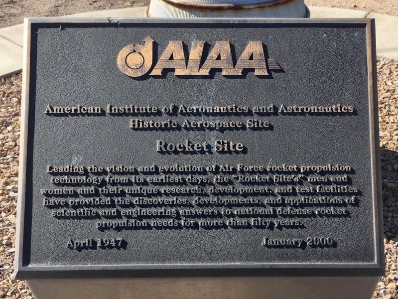
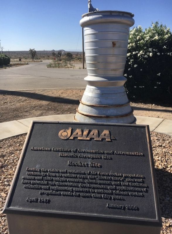
Rocket Site
AIAA Historic Aerospace Site
Erected 2000 by American Institute of Aeronautics and Astronautics.
Topics and series. This historical marker is listed in these topic lists: Air & Space • Military • Science & Medicine. In addition, it is included in the AIAA Historic Aerospace Sites series list. A significant historical month for this entry is April 1947.
Location. 34° 55.701′ N, 117° 41.7′ W. Marker is in Edwards AFB, California, in Kern County. Marker can be reached from Mercury Boulevard, 2˝ miles east of Rocket Site Road. Edwards Air Force Base and the Rocket Site are not open to the public. Touch for map. Marker is in this post office area: Boron CA 93516, United States of America. Touch for directions.
Other nearby markers. At least 8 other markers are within 11 miles of this marker, measured as the crow flies. Borax (approx. 5˝ miles away); Miner's Cabin (approx. 5˝ miles away); Twenty Mule Team (approx. 7 miles away); First Flight to Break the Sound Barrier (approx. 10.7 miles away); HiMAT (approx. 11.1 miles away); F-8 Supercritical Wing Aircraft (approx. 11.1 miles away); F-8 DFBW (approx. 11.1 miles away); F-8 Digital Fly-By-Wire Aircraft (approx. 11.1 miles away). Touch for a list and map of all markers in Edwards AFB.
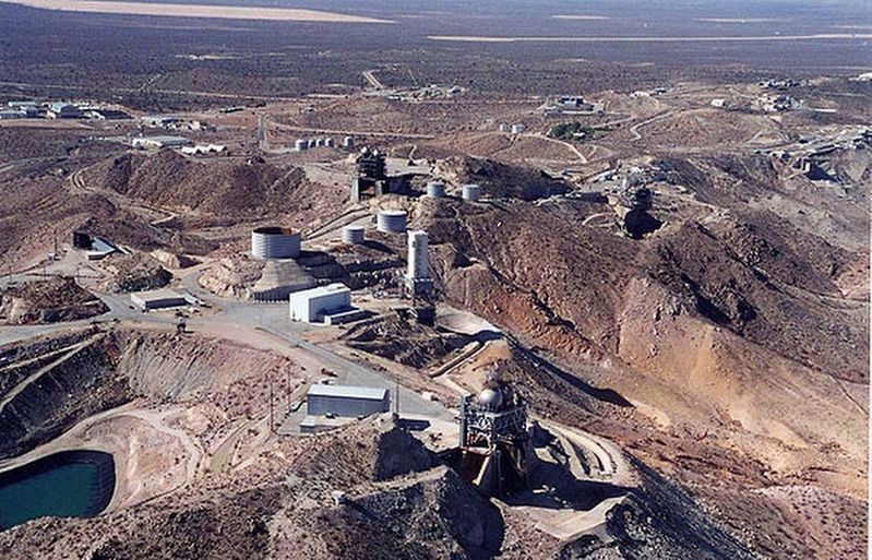
Regarding Rocket Site. This site is not open to the public. The rocket engine test stands on the hill can be seen from Highway 58 and the town of Boron, five miles to the north.
In 1998, a rocket launch pad and mission control room were built here for the X-33, a test vehicle for the next-generation Space Shuttle. The program was cancelled in 2001, before the first launch.
Also see . . . List of AIAA Historic Aerospace Sites. This was the first of 58 plaques dedicated by AIAA between 2000 and 2013. (Submitted on April 8, 2022.)
Credits. This page was last revised on November 14, 2023. It was originally submitted on July 23, 2020, by Craig Baker of Sylmar, California. This page has been viewed 2,626 times since then and 354 times this year. Photos: 1, 2, 3. submitted on July 23, 2020, by Craig Baker of Sylmar, California. • J. Makali Bruton was the editor who published this page.


