Fenton in Genesee County, Michigan — The American Midwest (Great Lakes)
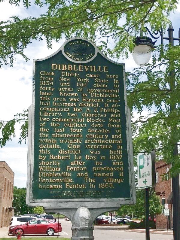
Dibbleville
Erected 1977 by Michigan History Division, Department of State. (Marker Number L437.)
Topics. This historical marker is listed in these topic lists: Industry & Commerce • Settlements & Settlers. A significant historical year for this entry is 1834.
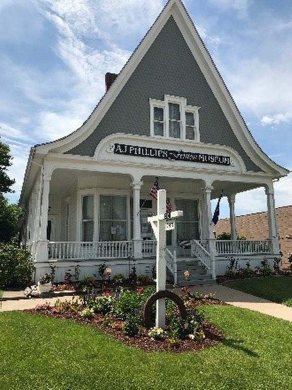
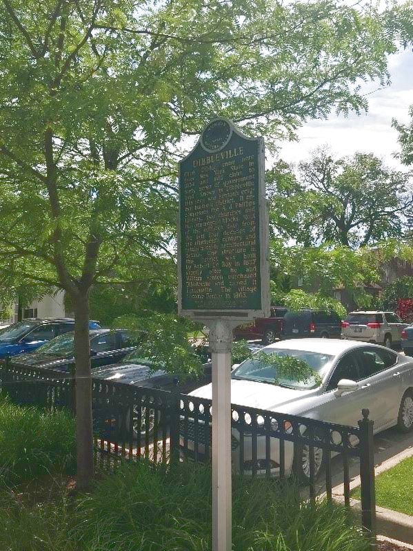
Location. 42° 47.604′ N, 83° 42.323′ W. Marker is in Fenton, Michigan, in Genesee County. Marker is on South Leroy Street, 0.3 miles south of Silver Lake Road, on the right when traveling south. On the left side of the entrance to the public parking lot next to the AJ Phillips Building. Touch for map. Marker is at or near this postal address: 310 S Leroy St, Fenton MI 48430, United States of America. Touch for directions.
Other nearby markers. At least 8 other markers are within walking distance of this marker. Riggs Hotel (a few steps from this marker); Dibbleville Business District I (a few steps from this marker); 1889 A.J. Phillips Work Office (within shouting distance of this marker); Dibbleville Business District II (within shouting distance of this marker); 1838 Judge Daniel LeRoy's Law Office (within shouting distance of this marker); Saint Jude's Episcopal Church (about 400 feet away, measured in a direct line); 1834 Clark Dibble Settlement (about 500 feet away); 1840 Grindstone from Fenton Mills (about 500 feet away). Touch for a list and map of all markers in Fenton.
Regarding Dibbleville. Dibbleville was the first name given to the 40 acres of government land that Clark Dibble laid claim to in 1834. The sign describes the original business district that made up Dibbleville, with many of the original structures still standing today. In 1837, Dibbleville was purchased by William Fenton and Robert Le Roy and renamed Fentonville. This settlement was incorporated as a village in 1863 and renamed Fenton. Fenton went through a major urban renewal project during the 1970ís, with all of the downtown area being leveled and Leroy Street being completely closed. In August, 2007,
Fenton was hit by an E2 tornado that damaged many buildings, homes, and a school, as well as completely destroying the new Tractor Supply Company. Fortunately, there were no fatalities or serious injuries, but it was another setback for a city trying to restore itself. Today, Fenton boasts a population of 11,286 (as of 2017) and is a vibrant community with impressive new buildings and many renovated historical buildings and repurposed landmark buildings (like the Fenton Fire Hall restaurant and the Fenton Grain Elevator).
Also see . . . Blog entry on marker. (Submitted on July 26, 2020, by John Garman of Rochester Hills.)
Credits. This page was last revised on July 26, 2020. It was originally submitted on July 26, 2020, by John Garman of Rochester Hills. This page has been viewed 361 times since then and 37 times this year. Photos: 1, 2, 3. submitted on July 26, 2020, by John Garman of Rochester Hills. • Mark Hilton was the editor who published this page.


