Longport in Atlantic County, New Jersey — The American Northeast (Mid-Atlantic)
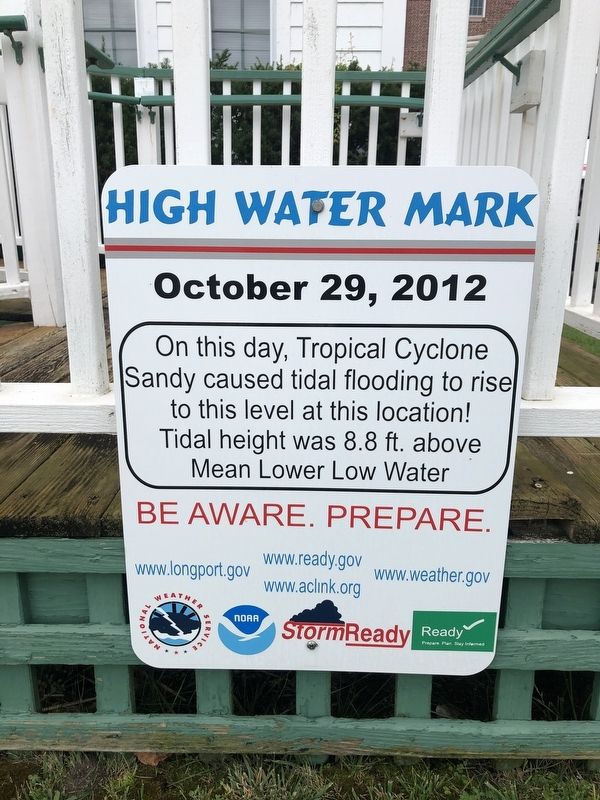
High Water Mark
October 29, 2012
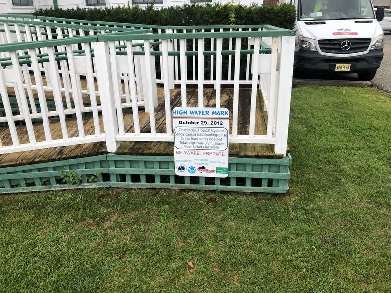
On this day, Tropical Cyclone Sandy caused tidal flooding to rise to this level at this location! Tidal height was 8.8 ft. above Mean Lower Low Water
Erected by National Weather Service, National Oceanic and Atmosphere Administration, U.S. Department of Commerce; StormReady.
Topics. This historical marker is listed in these topic lists: Disasters • Waterways & Vessels. A significant historical date for this entry is October 29, 2012.
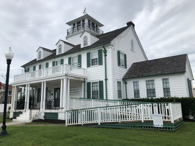
Location. 39° 18.705′ N, 74° 31.659′ W. Marker is in Longport, New Jersey, in Atlantic County. Marker is on Atlantic Avenue just west of South 24th Avenue, on the right when traveling west. Touch for map. Marker is at or near this postal address: 2301 Atlantic Ave, Longport NJ 08403, United States of America. Touch for directions.
Other nearby markers. At least 8 other markers are within 2 miles of this marker, measured as the crow flies. Great Egg Coast Guard Station (a few steps from this marker); Michael L. Cohen (a few steps from this marker); Longport Veterans Monument (approx. 0.2 miles away); The Labyrinth at Longport (approx. 0.2 miles away); Capenter Walkway (approx. 1.1 miles away); Margate City Post 397 Veterans Memorial (approx. 1.6 miles away); Vietnam War Memorial (approx. 1.6 miles away); a different marker also named Vietnam War Memorial (approx. 1.6 miles away). Touch for a list and map of all markers in Longport.
Credits. This page was last revised on July 26, 2020. It was originally submitted on July 26, 2020, by Devry Becker Jones of Washington, District of Columbia. This page has been viewed 220 times since then and 43 times this year. Photos: 1, 2, 3. submitted on July 26, 2020, by Devry Becker Jones of Washington, District of Columbia.


