McMinnville in Warren County, Tennessee — The American South (East South Central)
Railroad Town
A Series of Occupations
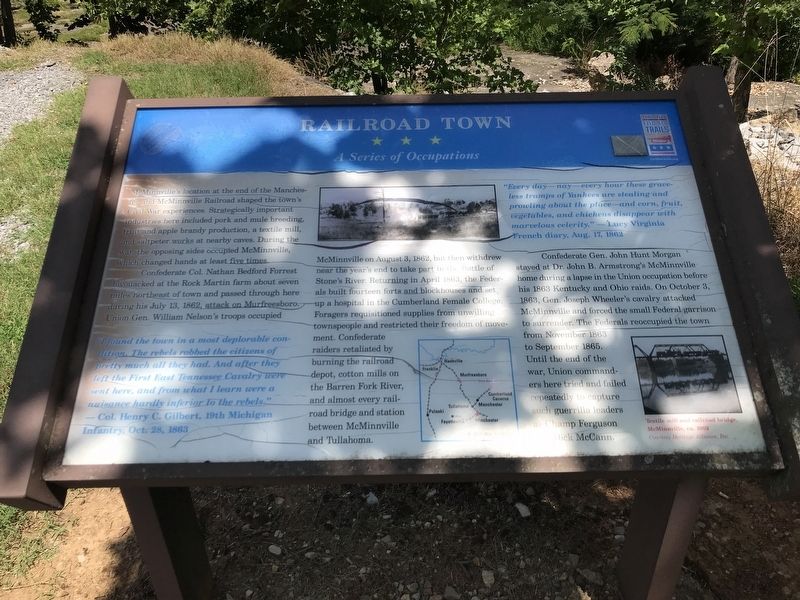
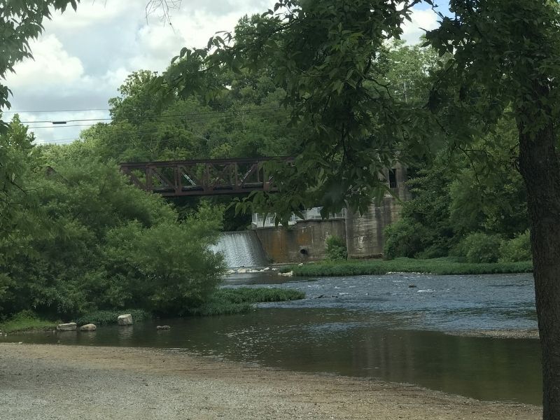
Confederate Col. Nathan Bedford Forrest bivouacked at the Rock Martin farm about seven miles northeast of town and passed through here during his July 13, 1862, attack on Murfreesboro. Union Gen. William Nelson's troops occupied McMinnville on August 3, 1862, but then withdrew near the year's end to take part in the Battle of Stone's River. Returning in April 1863, the Federals built fourteen forts and blockhouses and set up a hospital in the Cumberland Female College. Foragers requisitioned supplies from unwilling townspeople and restricted their freedom of movement. Confederate raiders retaliated by burning the railroad depot, cotton mills on the Barren Fork River, and almost every railroad bridge and station between McMinnville and Tullahoma.
Confederate Gen. John Hunt Morgan stayed at Dr. John B. Armstrong's McMinnville home during a lapse in the Union occupation before his 1863 Kentucky and Ohio raids. On October 3, 1863, Gen. Joseph Wheeler's cavalry attacked McMinnville and forced the small Federal garrison to surrender. The Federals reoccupied the town from November 1863 to September 1865. Until the end of the war, Union commanders here tried and failed repeatedly to capture such guerrilla leaders as Champ Ferguson and Dick McCann.
"I found the town in a most deplorable condition. The rebels robbed the citizens of pretty much all they had. And after they left the First East Tennessee Cavalry were sent here, and from what I learn were a nuisance hardly inferior to the rebels."
— Col. Henry C. Gilbert, 19th Michigan Infantry, Oct. 28, 1863
"Every day—nay—every hour these graceless tramps of Yankees are stealing and prowling about the place—and corn, fruit, vegetables, and chickens disappear with marvelous celerity."
—Lucy Virginia French diary, Aug. 17, 1862
(Caption)
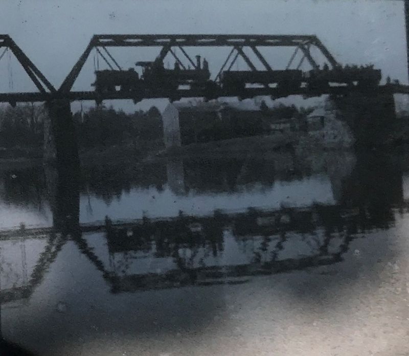
Lower right: Textile mill and railroad bridge, McMinnville, ca. 1902 Courtesy Heritage Alliance, Inc.
Erected by Tennessee Civil War Trails.
Topics and series. This historical marker is listed in these topic lists: Railroads & Streetcars • War, US Civil. In addition, it is included in the Tennessee Civil War Trails series list. A significant historical month for this entry is April 1863.
Location.
35° 40.436′ N, 85° 46.641′ W. Marker is in McMinnville, Tennessee, in Warren County. Marker can be reached from Old Morrison Road west of South Chancery Street (Tennessee Highway 55), on the right when traveling west. Marker is located in Pepper Branch Park. Touch for map. Marker is in this post office area: McMinnville TN 37110, United States of America. Touch for directions.
Other nearby markers. At least 8 other markers are within walking distance of this marker. Dottie West (approx. half a mile away); Charles Faulkner Bryan (approx. 0.6 miles away); 16th Tenn. Reg’t. C.S.A. Memorial (approx. 0.6 miles away); Occupation of McMinnville (approx. 0.6 miles away); Gen. Benjamin J. Hill (approx. 0.6 miles away); Elisha Pepper II (approx. 0.6 miles away); Symbol of Strength (approx. 0.6 miles away); POW and MIA Memorial (approx. 0.6 miles away). Touch for a list and map of all markers in McMinnville.
Credits. This page was last revised on August 8, 2020. It was originally submitted on July 27, 2020, by Duane and Tracy Marsteller of Murfreesboro, Tennessee. This page has been viewed 443 times since then and 73 times this year. Photos: 1, 2, 3, 4. submitted on July 27, 2020, by Duane and Tracy Marsteller of Murfreesboro, Tennessee. • Bernard Fisher was the editor who published this page.


