
Millville in Cumberland County, New Jersey — The American Northeast (Mid-Atlantic)
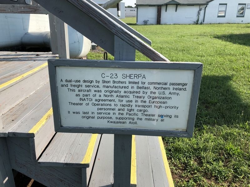
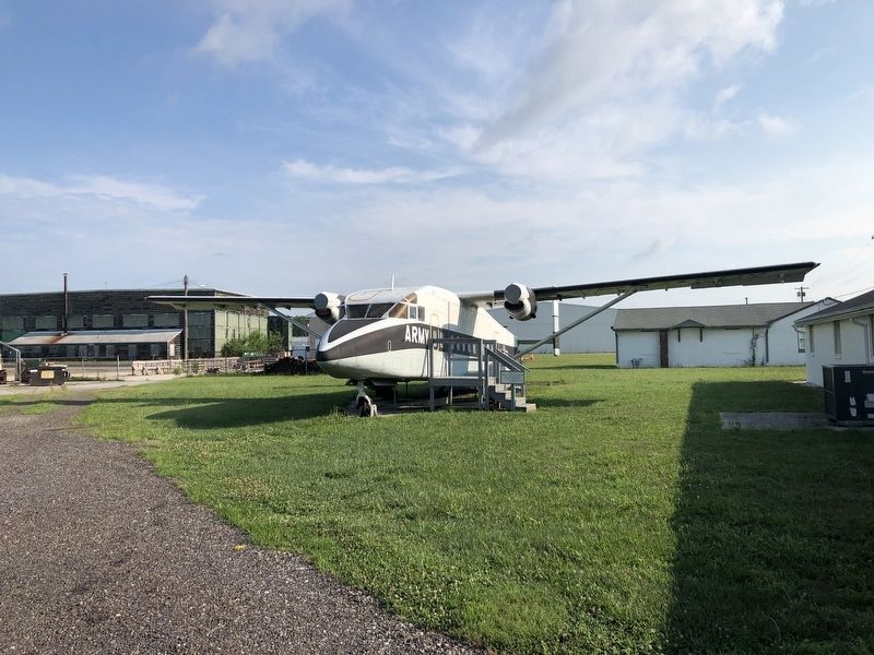
C-23 Sherpa
Topics. This historical marker is listed in these topic lists: Air & Space • War, World II.
Location. 39° 22.323′ N, 75° 4.314′ W. Marker is in Millville, New Jersey, in Cumberland County. It is on Peterson Street just north of Leddon Street, on the left when traveling north. Touch for map. Marker is at or near this postal address: 23 Peterson St, Millville NJ 08332, United States of America. Touch for directions.

Regionally, this marker is in New Jersey’s South Jersey. It is also in the American Northeast, in the Mid-Atlantic, and on the Eastern Seaboard. Globally, it is in the
this page online
Other nearby markers. At least 8 other markers are within walking distance of this marker: A-4F Skyhawk (within shouting distance of this marker); Original Link Trainer Building (within shouting distance of this marker); Gunnery Practice Over The Atlantic (within shouting distance of this marker); Original Army Air Force WWII Headquarters Building (within shouting distance of this marker); Millville Airport (within shouting distance of this marker); 135th AAF Base Unit (within shouting distance of this marker); Original Army Air Force WWII Gunnery School Administration Building (within shouting distance of this marker); Original Army Air Force WWII Pilot Ready-Dayroom Building (within shouting distance of this marker). Touch for a list and map of all markers in Millville.
Credits. This page was last revised on July 27, 2020. It was originally submitted on July 27, 2020, by Devry Becker Jones of Washington, District of Columbia. This page has been viewed 220 times since then and 17 times this year. Photos: 1, 2. submitted on July 27, 2020, by Devry Becker Jones of Washington, District of Columbia.
