Upper Rockridge in Oakland in Alameda County, California — The American West (Pacific Coastal)
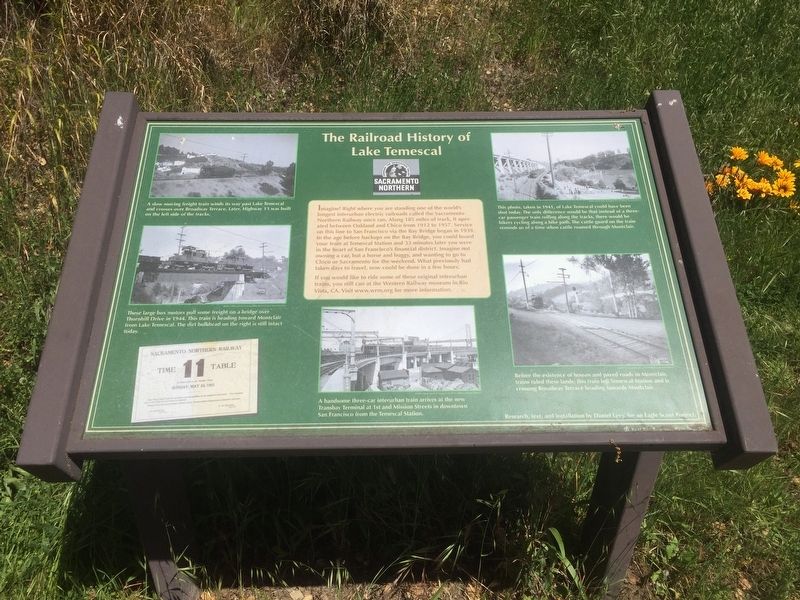
The Railroad History of Lake Temescal
Photographed by Andrew Ruppenstein, April 22, 2020
1. The Railroad History of Lake Temescal Marker
If you would like to ride some of these original interurban trains, you still can at the Western Railway Museum in Rio Vista, CA. Visit www.wrm.org for more information.
Erected by Daniel Levy, East Bay Regional Park District.
Topics. This historical marker is listed in this topic list: Railroads & Streetcars.
Location. 37° 50.897′ N, 122° 13.828′ W. Marker is in Oakland, California, in Alameda County. It is in Upper
this page online

Regionally, this marker is in the San Francisco Bay Area and on the Coast Ranges. It is also on the American Pacific Coast. Globally, it is in North America, on the Ring of Fire, on the Pacific Rim, in the Western Hemisphere, in the Western World, and in the Anglosphere. Historically, it finds itself in what was once New Spain and also Mexico’s Alta California.
Other nearby markers. At least 8 other markers are within 2 miles of this marker, measured as the crow flies: Emergency Preparedness Exhibit (approx. 0.3 miles away); John Muir School (approx. one mile away); Samuel Merritt, M.D. (approx. one mile away); Kennedy Tunnel (approx. 1.1 miles away); Claremont Public Improvements (approx. 1.1 miles away); Star Grocery (approx. 1.1 miles away); William Taylor (approx. 1.1 miles away); Claremont Court Gate and Street Markers (approx. 1.1 miles away). Touch for a list and map of all markers in Oakland.
More about this marker.
Photographed by Andrew Ruppenstein, April 22, 2020
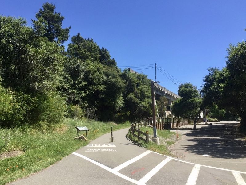
2. The Railroad History of Lake Temescal Marker - wide view
Credits. This page was last revised on February 7, 2023. It was originally submitted on July 28, 2020, by Andrew Ruppenstein of Lamorinda, California. This page has been viewed 864 times since then and 38 times this year. Photos: 1, 2. submitted on July 28, 2020, by Andrew Ruppenstein of Lamorinda, California.
