Copper Harbor in Keweenaw County, Michigan — The American Midwest (Great Lakes)
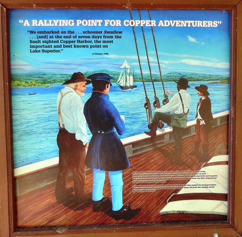
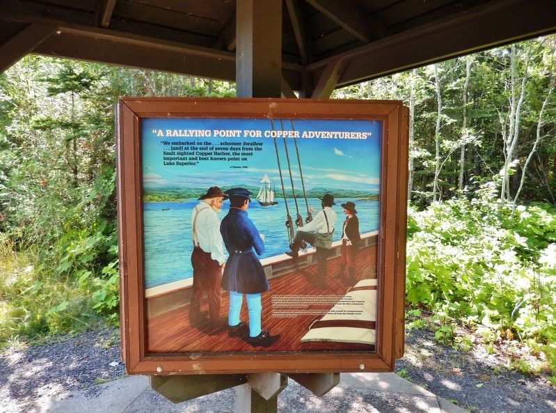
"A Rallying Point for Copper Adventurers"
A Pioneer, 1846
By the mid-1840s Copper Harbor became a rough and tumble mining camp, where one visitor recalled, “the restraints of civilization sat loosely on men.” Boats of every description crisscrossed these waters carrying prospectors and supplies. The Pittsburgh and Boston Copper Harbor Mining Company sank the first commercial mine near the present lighthouse.
Copper Harbor and other pioneer settlements relied on lake transit for transportation, communication and supply. Weather conditions cut them off from the outside world six months of the year.
Topics. This historical marker is listed in these topic lists: Industry & Commerce • Settlements & Settlers • Waterways & Vessels. A significant historical year for this entry is 1846.
Location. 47° 28.066′ N, 87° 51.953′ W. Marker is in Copper Harbor, Michigan, in Keweenaw County. Marker can be reached from Fanny Hoe Creek, 0.1 miles north of U.S. 41. Marker is mounted in a kiosk along the Copper Harbor trail in Astor Shipwreck Park. Touch for map. Marker is in this post office area: Copper Harbor MI 49918, United States of America. Touch for directions.
Other nearby markers. At least 8 other markers are within one mile of this marker, measured as the crow flies. The Copper Harbor Lighthouse (here, next to this marker); Shipwreck (here, next to this marker); "You will call her the John Jacob Astor." (a few steps from this marker); Life on the Astor (a few steps from this marker); "The Astor will never leave Copper Harbor." (a few steps from this marker); The Estivant Pines (approx. one mile away); Fort Wilkins State Park and Historic Complex (approx. 1.1 miles away); Copper Harbor (approx. 1.1 miles away). Touch for a list and map of all markers in Copper Harbor.
Also see . . .
1. Pittsburgh and Boston Copper Harbor Mining Company. The Pittsburgh and Boston Copper Harbor Mining Company was one of the earliest copper mining concerns on the Keweenaw Peninsula. The company mined copper-bearing silicates at Copper Harbor between 1843 and 1847, until operations were transferred to the much more profitable Cliff location. The workings at Copper Harbor were sizable; at times the company employed up to 70 men. (Submitted on July 29, 2020, by Cosmos Mariner of Cape Canaveral, Florida.)
2. Timeline of Michigan Copper Mining. 1844: The Pittsburgh and Boston Mining Company begins mining near Copper Harbor. The operation is abandoned in 1845 after a $28,000 investment, but only $2,968 returned. Though the company
produced little copper, it was the first serious American mining attempt. Sale of copper wire leaps after the message "What hath God wrought" is sent by telegraph from Washington to Baltimore on May 24th, ushering in the electronic communication era. (Submitted on July 29, 2020, by Cosmos Mariner of Cape Canaveral, Florida.)
3. A Short History of Copper Mining. The Cliff Mine was near Eagle Harbor, 19 miles west of Copper Harbor. Huge pieces of metal, some weighing more than 50 tons, were discovered where they had been deposited. They lay deep beneath the surface, undisturbed by the glaciers. In 1849, the Cliff hit rich vein rock. Pure copper masses, some weighing 100 tons, were chiseled, hammered, blasted, cut in pieces and hauled to the surface bit by bit. (Submitted on July 29, 2020, by Cosmos Mariner of Cape Canaveral, Florida.)
Credits. This page was last revised on July 29, 2020. It was originally submitted on July 28, 2020, by Cosmos Mariner of Cape Canaveral, Florida. This page has been viewed 113 times since then and 13 times this year. Photos: 1, 2. submitted on July 29, 2020, by Cosmos Mariner of Cape Canaveral, Florida.

