Cumberland Township near Gettysburg in Adams County, Pennsylvania — The American Northeast (Mid-Atlantic)
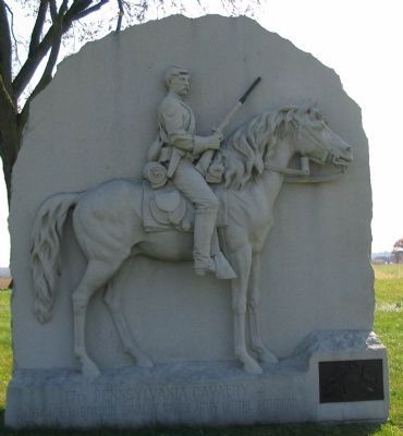
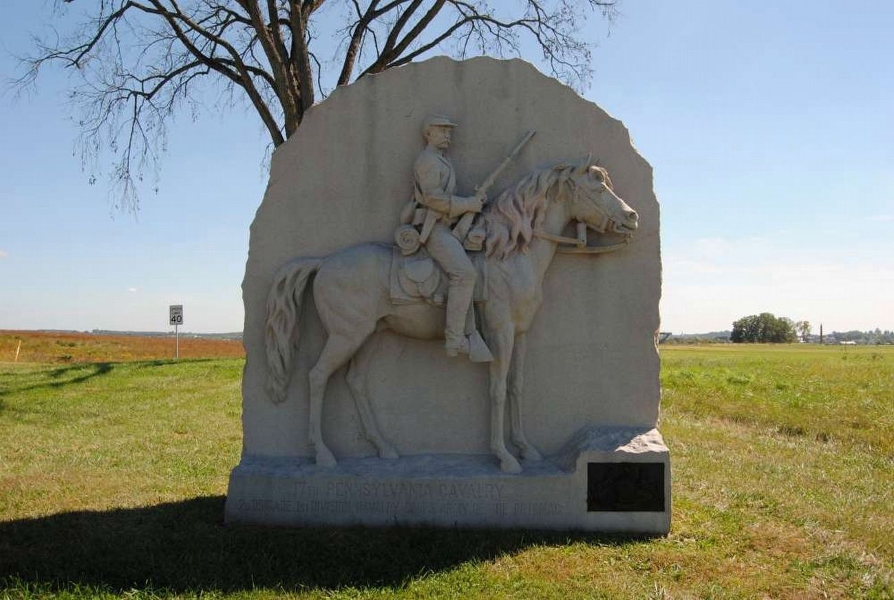
17th Pennsylvania Cavalry
2d Brigade, 1st Division, Cavalry Corps.
| — | Army of the Potomac | — |
Photographed by Craig Swain, November 1, 2008
1. 17th Pennsylvania Cavalry Monument
2nd Brigade. 1st Division. Cavalry Corps. Army of the Potomac.
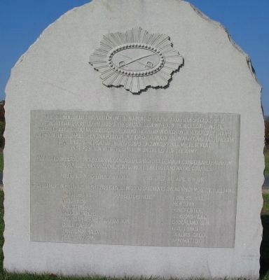
(Back):
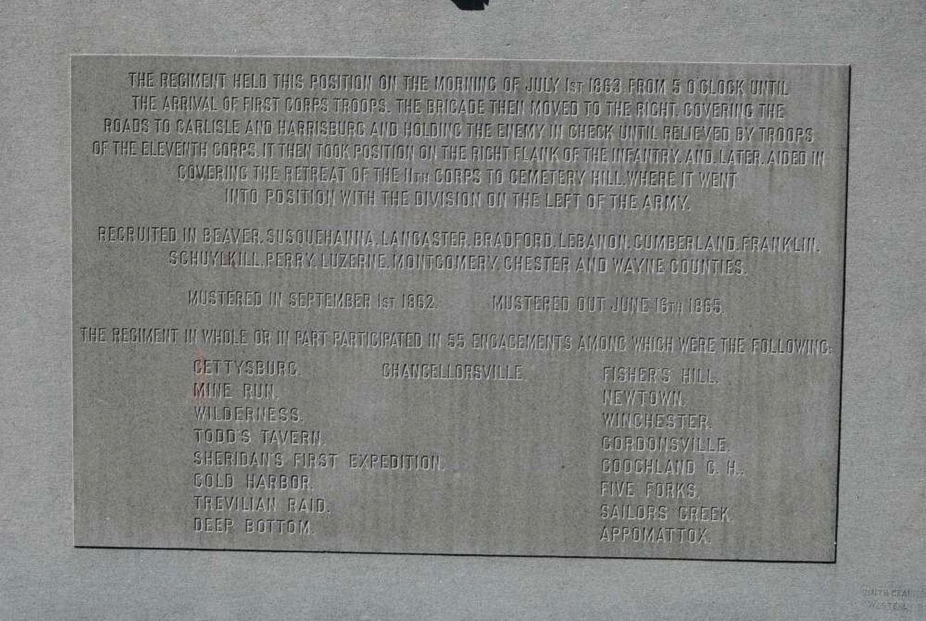
The Regiment held this position on the morning of July 1st 1863 from 5 o'clock until the arrival of First Corps troops. The brigade then moved to the right covering the roads to Carlisle and Harrisburg and holding the enemy in check until relieved by troops of the Eleventh Corps. It then took position on the right flank of the infantry and later aided in covering the retreat of the 11th Corps to Cemetery Hill where it went into position with the Division on the left of the army.
Recruited in Beaver, Susquehanna, Lancaster, Bradford, Lebanon, Cumberland, Franklin, Schuylkill, Perry, Luzerne, Montgomery, Chester, and Wayne Counties.
Mustered in September 1st 1862. Mustered out June 16th 1865.
The Regiment in whole or part participated in 55 engagements among which were the following
Mine Run. Newtown.
Wilderness. Winchester.
Todd's Tavern. Gordonsville.
Sheridan's First Expedition. Coochland C.H.
Cold Harbor. Five Forks.
Trevilian Raid. Sailors Creek.
Deep Bottom. Appomattox.
Erected 1889
this page online
Topics. This memorial is listed in this topic list: War, US Civil. A significant historical month for this entry is June 1928.
Location. 39° 50.837′ N, 77° 14.728′ W. Memorial is near Gettysburg, Pennsylvania, in Adams County. It is in Cumberland Township. It is at the intersection of Buford Avenue and Mummasburg Road, on the right when traveling north on Buford Avenue. Located on the West Cavalry Battlefield section in Gettysburg National Military Park. Touch for map. Memorial is in this post office area: Gettysburg PA 17325, United States of America. Touch for directions.

Regionally, this memorial is in South-Central Pennsylvania. It is also in the American Northeast, in the Mid-Atlantic, in Appalachia, and specifically in Northern Appalachia. Globally, it is in North America, the Western Hemisphere, the Western World, and the Anglosphere. Historically, it finds itself in what was once the Haudenosaunee (Iroquois) Confederacy and also one of the original Thirteen Colonies.
Other nearby markers. At least 8 other markers are within walking distance of this marker: Second Army Corps (within shouting
Photographed by Craig Swain, November 1, 2008
2. Back of Monument
Other markers no longer nearby. The Cavalry Buys Time (was about 700 feet away but has been reported to have been replaced with another marker now near it); Eternal Light Peace Memorial (was about 700 feet away but has been permanently removed); General Rodes Attacks (was about 700 feet away but has been replaced with another marker now near it).
Also see . . .
1. 17th Pennsylvania Cavalry. Service history of the regiment. (Submitted on January 17, 2009, by Craig Swain of Leesburg, Virginia.)
2. History of the 17th Pennsylvania Cavalry. Article by Civil War author/historian J.D. Petruzzi. (Submitted on January 17, 2009, by Craig Swain of Leesburg, Virginia.)
Photographed by Craig Swain, November 1, 2008
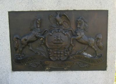
3. State Seal at Base of Monument
Photographed by Craig Swain, November 1, 2008
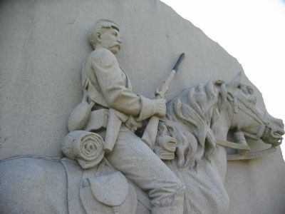
4. Close Up of the Trooper
The figure was modeled after Sergeant George W. Ferree. He was considered representative of the average soldier of the regiment.
Photographed by Brian Scott, September 23, 2015
5. 17th Pennsylvania Cavalry Marker - Main Text
Photographed by Brian Scott, September 23, 2015
6. 17th Pennsylvania Cavalry Monument (Front)
Photographed by Brian Scott, September 23, 2015
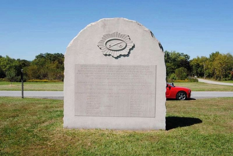
7. 17th Pennsylvania Cavalry Monument (Reverse)
Photographed by Craig Swain, November 1, 2008
8. 17th Pennsylvania Cavalry Monument and Site of Forney House
When dedicated, the monument stood in front of the John S. Forney house. The house suffered much damage from the battle, and Forney described the house and barn "riddled by shot and shell." Although the house was repaired afterward, the structure was demolished in 1938 prior to the dedication of the Eternal Light Peace Memorial.
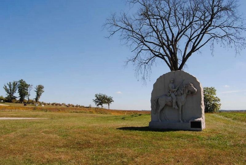
Photographed by Brian Scott, September 23, 2015
9. 17th Pennsylvania Cavalry Monument
Photographed by Craig Swain, November 1, 2008
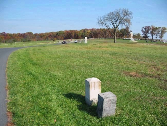
10. Left Flank of the 17th Pennsylvania Cavalry
The left flank marker (foreground, with the right flank marker of the 9th New York Cavalry), is south of the monument along Buford Avenue. The right flank marker is north of the intersection of Buford Avenue and Mummasburg Road just beyond the monument. The line represents the "base" from which the 17th's skirmishers were deployed forward in the early morning of July 1. Later in the morning phases the troopers fought a delaying action against the advancing Confederate infantry. The Regimental headquarters was at the Forney House, which stood behind the monument.
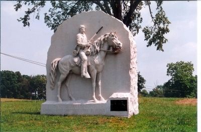
Photographed by Mike Stroud, July 12, 2003
11. 17th Pennsylvania Cavalry Marker
Credits. This page was last revised on February 7, 2023. It was originally submitted on January 17, 2009, by Craig Swain of Leesburg, Virginia. This page has been viewed 2,088 times since then and 48 times this year. Photos: 1, 2, 3, 4. submitted on January 17, 2009, by Craig Swain of Leesburg, Virginia. 5, 6, 7. submitted on July 21, 2016, by Brian Scott of Anderson, South Carolina. 8. submitted on January 17, 2009, by Craig Swain of Leesburg, Virginia. 9. submitted on July 21, 2016, by Brian Scott of Anderson, South Carolina. 10. submitted on January 17, 2009, by Craig Swain of Leesburg, Virginia. 11. submitted on July 8, 2013, by Mike Stroud of Bluffton, South Carolina.
