Grand Prairie in Dallas County, Texas — The American South (West South Central)
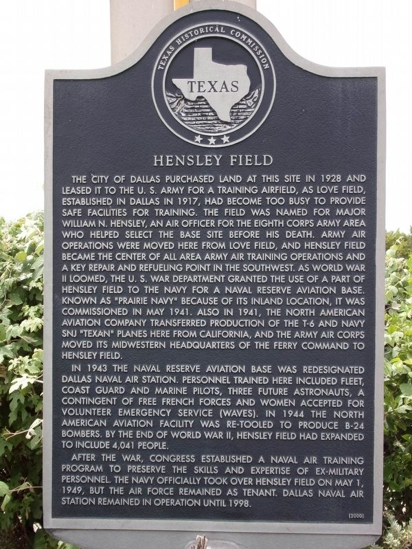
Hensley Field
The city of Dallas purchased land at this site in 1928 and leased it to the U.S. Army for a training airfield, as Love Field, established in Dallas in 1917, had become too busy to provide safe facilities for training. The field was named for Major William N. Hensley, an air officer for the Eighth Corps Army Area who helped select the base site before his death. Army air operations were moved here from Love Field, and Hensley Field became the center of all area Army air training operations and a key repair and refueling point in the southwest. As World War II loomed, the U.S. War Department granted the use of a part of Hensley Field to the Navy for a naval reserve aviation base. Known as "Prairie Navy" because of its inland location, it was commissioned in May 1941. Also in 1941, the North American Aviation Company transferred production of the T-6 and Navy SNJ "Texan" planes here from California, and the Army Air Corps moved its midwestern headquarters of the ferry command to Hensley Field.
In 1943 the naval reserve aviation base was redesignated Dallas Naval Air Station. Personnel trained here included fleet, Coast Guard and Marine pilots, three future astronauts, a contingent of free French forces and women accepted for volunteer emergency service (WAVES). In 1944 the North American Aviation Facility was re-tooled to produce B-24 bombers. By the end of World War II, Hensley Field had expanded to include 4,104 people.
After the war, Congress established a naval air training program to preserve the skills and expertise of ex-military personnel. The Navy officially took over Hensley Field on May 1, 1949, but the Air Force remained as tenant. Dallas Naval Air Station remained in operation until 1998.
Erected 2000 by Texas Historical Commission. (Marker Number 11711.)
Topics. This historical marker is listed in these topic lists: Air & Space • War, World II.
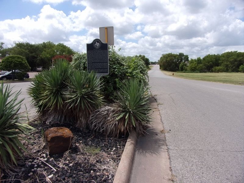
Location. 32° 44.763′ N, 96° 57.477′ W. Marker is in Grand Prairie, Texas, in Dallas County. Marker is on Camden Road, on the left when traveling west. Touch for map. Marker is at or near this postal address: 9200 E Jefferson Street, Grand Prairie TX 75051, United States of America. Touch for directions.
Other nearby markers. At least 8 other markers are within 3 miles of this marker, measured as the crow flies. Jordan-Bowles House (approx. 0.8 miles away); Jordan-Hight Family Cemetery (approx. 0.9 miles away); Avion Village (approx. 2.1 miles away); Uptown Theatre (approx. 2.6 miles away); Grand Prairie State Bank (approx. 2.6 miles away); Dallas Baptist University (approx. 2.7 miles away); Dr. H.V. Copeland Home (approx. 2.7 miles away); Old Southland Cemetery (approx. 3 miles away). Touch for a list and map of all markers in Grand Prairie.
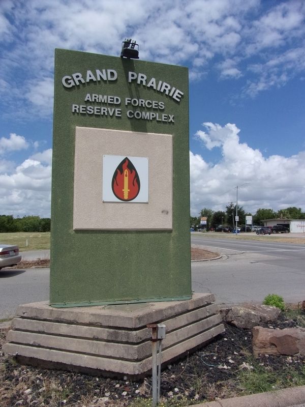
More about this marker. The marker is right behind the tall, green "Grand Prairie Armed Forces Reserve Complex" sign.
Credits. This page was last revised on July 29, 2020. It was originally submitted on July 29, 2020, by Kayla Harper of Dallas, Texas. This page has been viewed 539 times since then and 68 times this year. Photos: 1, 2, 3. submitted on July 29, 2020, by Kayla Harper of Dallas, Texas. • J. Makali Bruton was the editor who published this page.


