Lincolnville in St. Augustine in St. Johns County, Florida — The American South (South Atlantic)
Last Slave Cabin
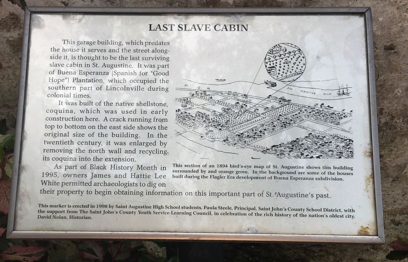
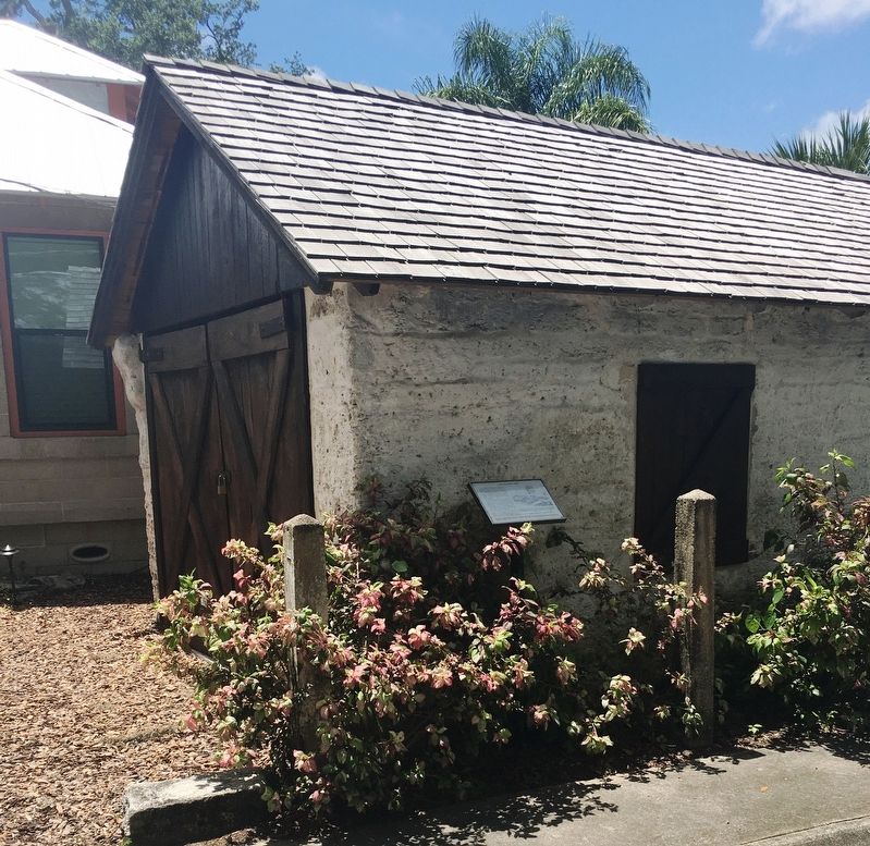
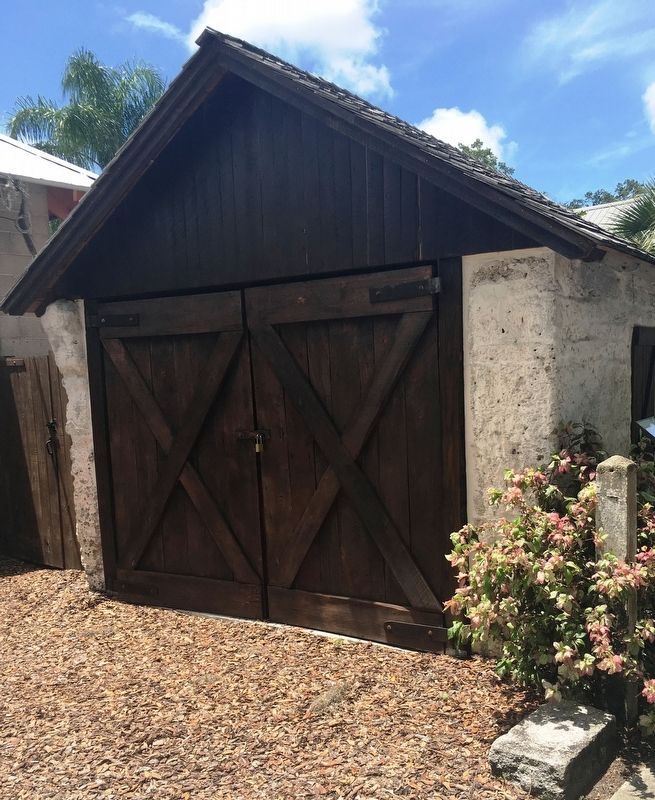
This garage building, which predates the house it serves and the street along-side of it, is thought to be the last surviving slave cabin in St. Augustine. It was part of Buena Esperanza (Spanish for “Good Hope”) Plantation, which occupied the southern part of Lincolnville during colonial times.
It was built of native shellstone, coquina, which was used in early construction here. A crack running from top to bottom on the east side shows the original size of the building. In the twentieth century, it was enlarged by removing the north wall and recycling its coquina into the extension.
As part of Black History Month in 1995, owners James and Hattie Lee White permitted archaeologists to dig on their property to begin obtaining information on this important part of St. Augustineís past.
This marker is erected in 1998 by Saint Augustine High School students, Paula Steele, Principal, Saint Johnís County School District, with the support from The Saint Johnís County Youth Service-Learning Council, in celebration of the rich history of the nationís oldest city.
Erected 1998 by Saint Augustine High School students, Paula Steele Principal, St. Johnís County School District.
Topics. This historical marker is listed in these topic lists: African Americans • Colonial Era • Settlements & Settlers.
Location. 29° 52.956′ N, 81° 18.767′ W. Marker is in St. Augustine, Florida, in St. Johns County. It is in Lincolnville. Marker is on Blanco Street north of South Street, on the left when traveling north. Touch for map. Marker is at or near this postal address: 94 South St, Saint Augustine FL 32084, United States of America. Touch for directions.
Other nearby markers. At least 8 other markers are within walking distance of this marker. A different marker also named The Last Slave Cabin (a few steps from this marker); 94 South Street (within shouting distance of this marker); 156 M.L. King Avenue (about 300 feet away, measured in a direct line); 160 M.L. King Avenue (about 400 feet away); Reverend Goldie M. Eubanks (approx. 0.2 miles away); 177 Twine Street (approx. 0.2 miles away); Twine Park (approx. 0.2 miles away); 111 Lincoln Street (approx. 0.2 miles away). Touch for a list and map of all markers in St. Augustine.

Photographed By Brandon D Cross, July 25, 2020
3. Last Slave Cabin location
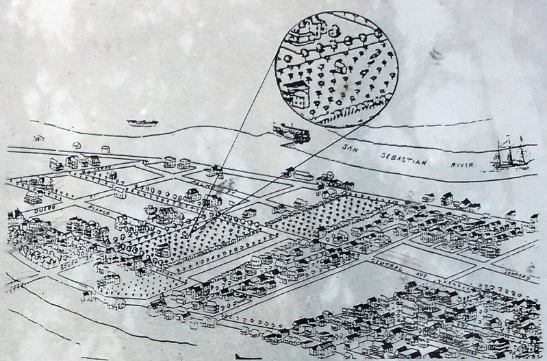
This section of an 1894 birdís-eye map of St. Augustine shows this building
Surrounded by and [sic] orange grove. In the background are some of the houses
Built during the Flagler Era development of Buena Esperanza subdivision.
Surrounded by and [sic] orange grove. In the background are some of the houses
Built during the Flagler Era development of Buena Esperanza subdivision.
Credits. This page was last revised on August 1, 2020. It was originally submitted on July 29, 2020, by Brandon D Cross of Flagler Beach, Florida. This page has been viewed 450 times since then and 35 times this year. Photos: 1, 2, 3, 4. submitted on July 29, 2020, by Brandon D Cross of Flagler Beach, Florida. • Bernard Fisher was the editor who published this page.


