Woodstown in Salem County, New Jersey — The American Northeast (Mid-Atlantic)
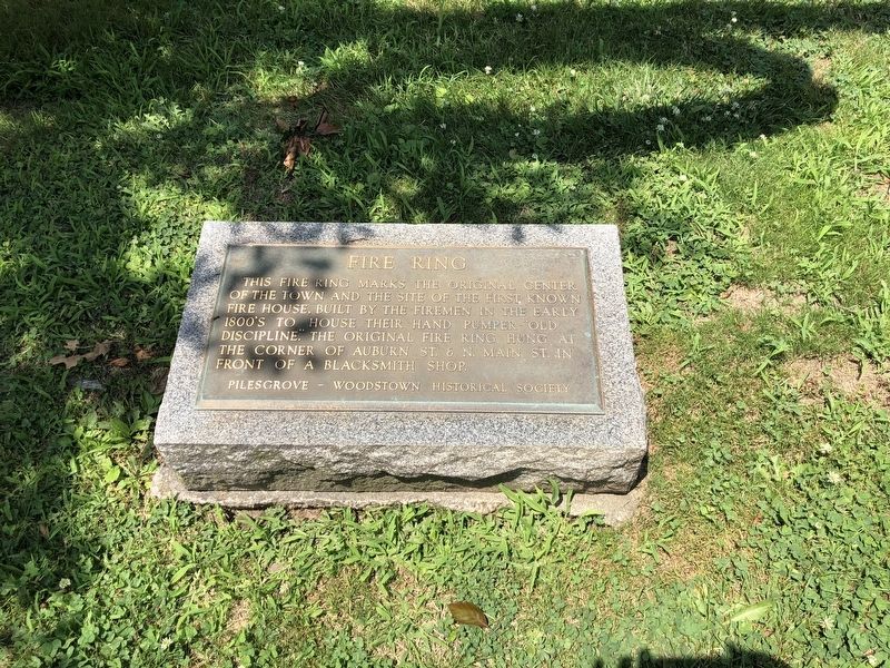
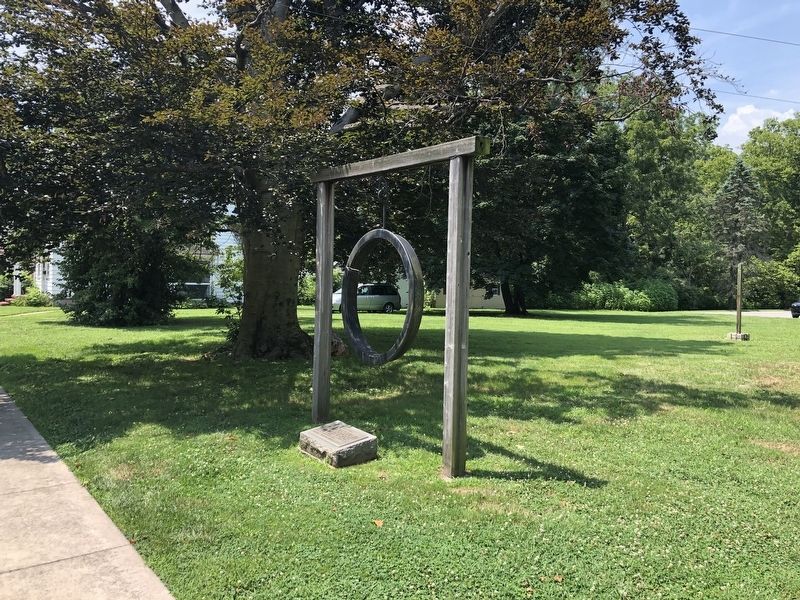
Fire Ring
Erected by Pilesgrove-Woodstown Historical Society.
Topics. This historical marker is listed in these topic lists: Charity & Public Work • Communications • Industry & Commerce.
Location. 39° 39.263′ N, 75° 19.754′ W. Marker is in Woodstown, New Jersey, in Salem County. Marker is at the intersection of Marlton Street (County Road 636) and North Main Street (State Route 45), on the right when traveling south on Marlton Street. Touch for map. Marker is at or near this postal address: 5 Marlton St, Woodstown NJ 08098, United States of America. Touch for directions.
Other nearby markers. At least 8 other markers are within walking distance of this marker. The Old Red House (within shouting distance of this marker); Center of Town (approx. 0.2 miles away); Woodstown Friends Cemetery (approx. 0.3 miles away); Garrison Memorial Park (approx. 0.4 miles away); School Buildings (approx. half a mile away); School Bell (approx. half a mile away); County Bridges (approx. 0.7 miles away); a different marker also named Fire Ring (approx. 0.7 miles away). Touch for a list and map of all markers in Woodstown.
Credits. This page was last revised on July 29, 2020. It was originally submitted on July 29, 2020, by Devry Becker Jones of Washington, District of Columbia. This page has been viewed 86 times since then and 12 times this year. Photos: 1, 2. submitted on July 29, 2020, by Devry Becker Jones of Washington, District of Columbia.

