Pilesgrove in Salem County, New Jersey — The American Northeast (Mid-Atlantic)
World Wars I & II Memorial
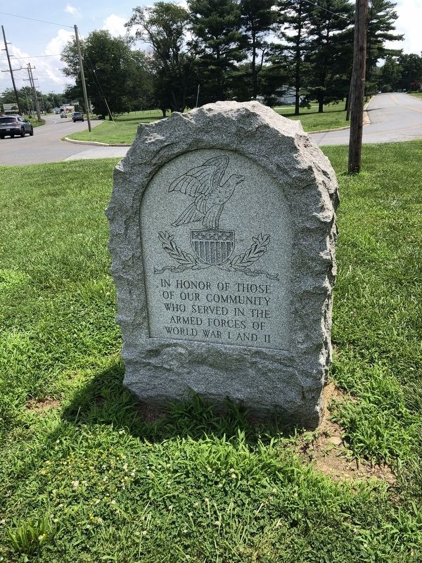
Topics. This memorial is listed in these topic lists: War, World I • War, World II.
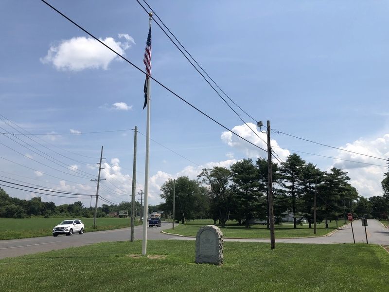
Location. 39° 39.504′ N, 75° 22.147′ W. Memorial is in Pilesgrove, New Jersey, in Salem County. It is at the intersection of Main Street and Harding Highway (U.S. 40), on the left when traveling east on Main Street. Touch for map. Memorial is at or near this postal address: 49 Main St, Woodstown NJ 08098, United States of America. Touch for directions.

Regionally, this memorial is in Greater Wilmington, in South Jersey, and in Greater Philadelphia. It is also in the American Northeast, in the Mid-Atlantic, and on the Eastern Seaboard. Globally, it is in the North Atlantic Region, North America, the Western Hemisphere, the Western World, and the Anglosphere. Historically, it finds itself in what was once New Netherland and also one of the original Thirteen Colonies.
Other nearby markers. At least 8 other markers are within 3 miles of this marker, measured as the crow flies: Salem County Veterans Memorial
this page online
Credits. This page was last revised on July 29, 2020. It was originally submitted on July 29, 2020, by Devry Becker Jones of Washington, District of Columbia. This page has been viewed 176 times since then and 19 times this year. Photos: 1, 2. submitted on July 29, 2020, by Devry Becker Jones of Washington, District of Columbia.
