Copper Harbor in Keweenaw County, Michigan — The American Midwest (Great Lakes)
Tracing the Story
America's Industrial Copper story begins here
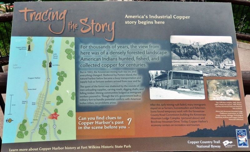
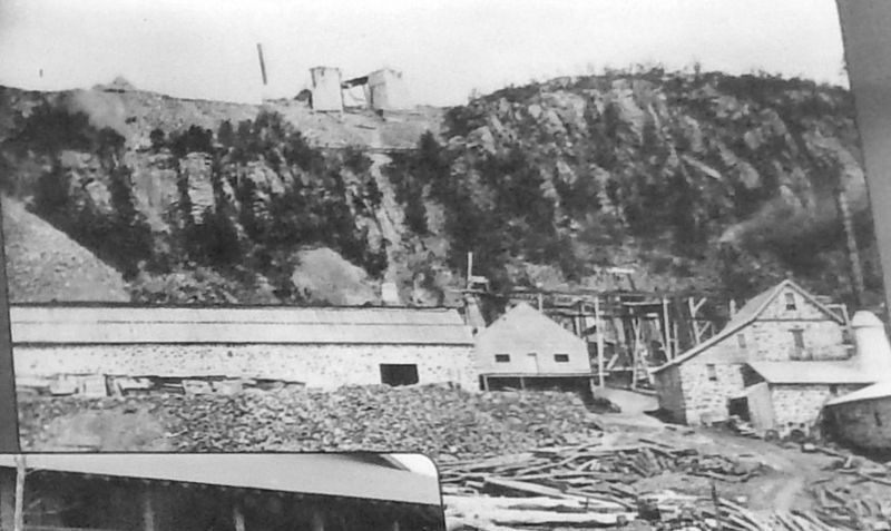
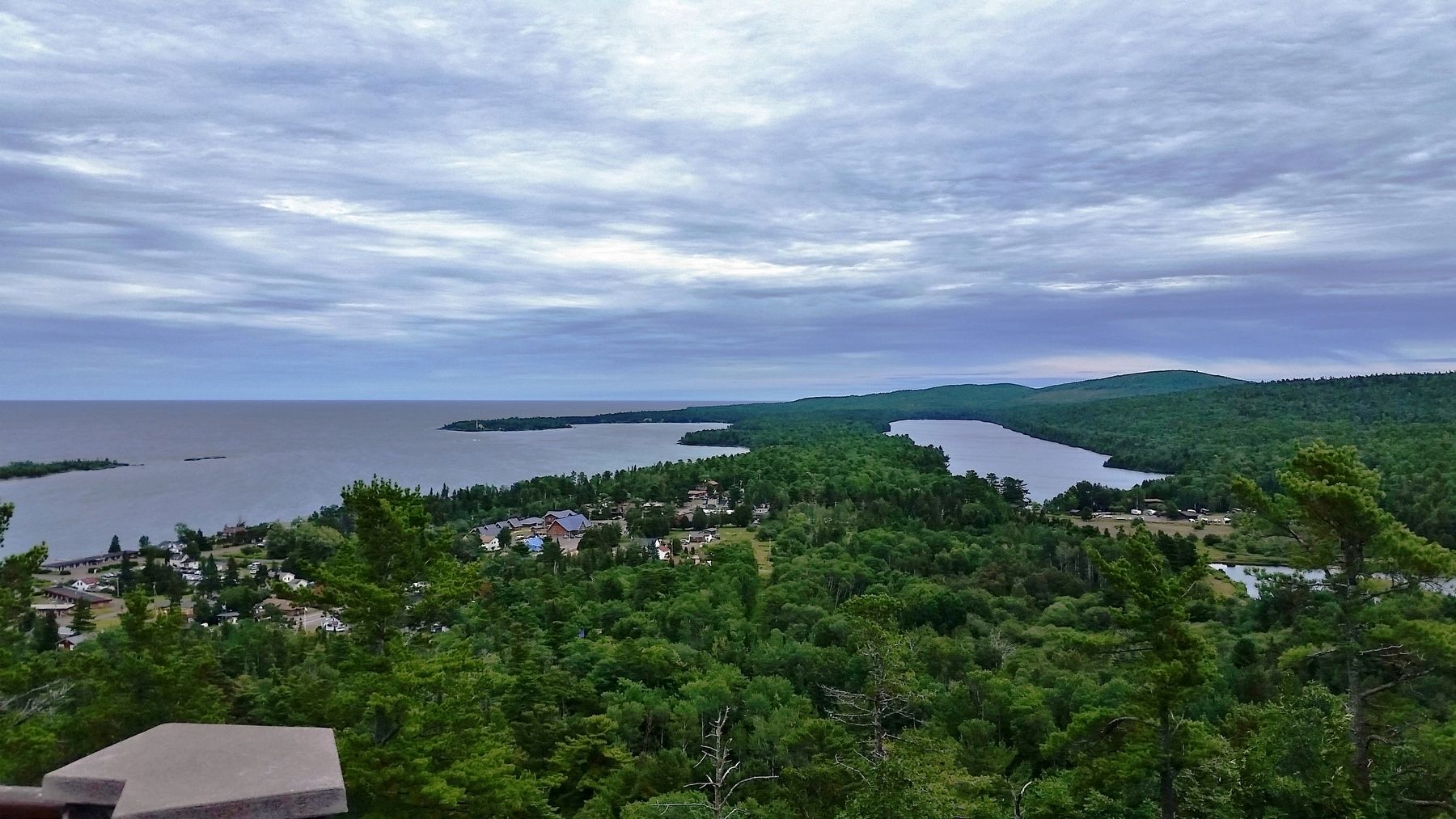
But in 1843, the Keweenaw mining rush was on, and everything changed. Sheltered by Porters Island, the natural harbor below became a busy transportation and supply hub as fortune seekers arrived from near and far.
The quiet of the forest was shattered by the sounds of men unloading supplies, carving roads, digging shafts, and felling timber. Mining communities bulged as immigrant workers poured in. Though the U.S. government built a military fort to handle potential conflicts with American Indian tribes, no problems arose.
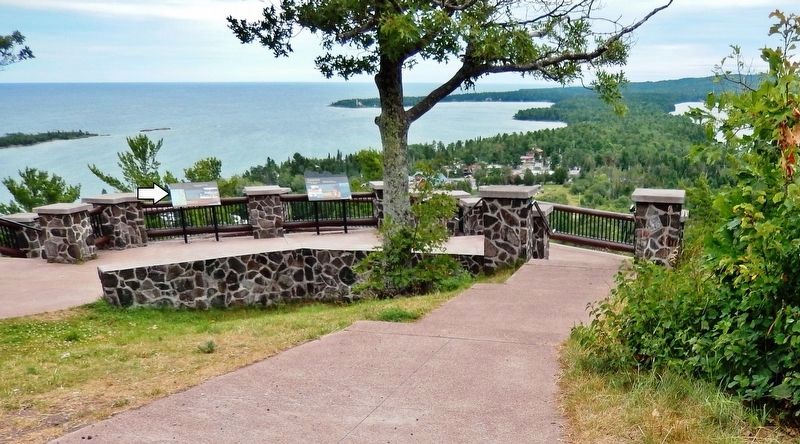
Can you find clues to Copper Harbor’s past in the scene before you?
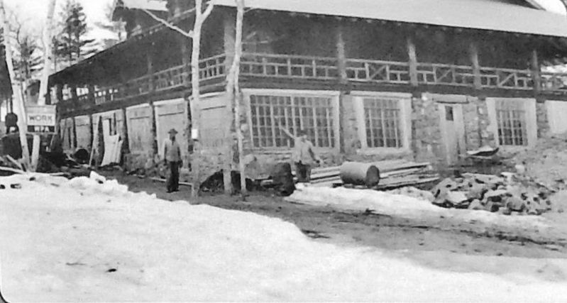
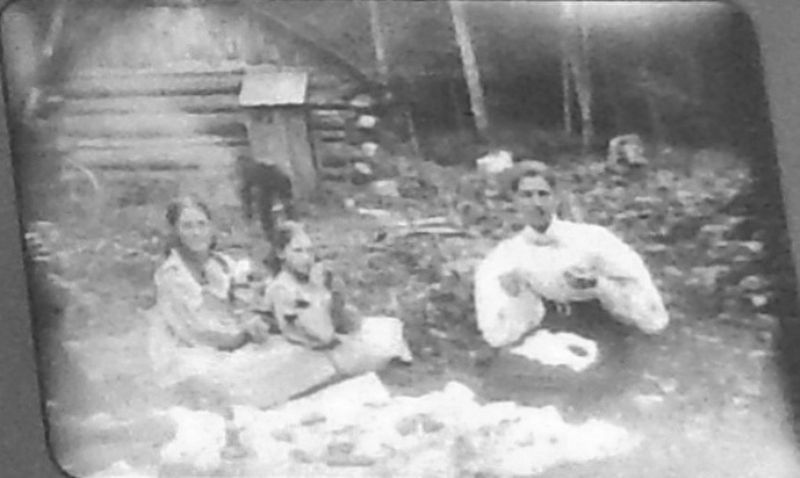
After the early mining rush faded, many immigrants stayed on as farmers, homesteaders and fishermen. Some found temporary work with the Keweenaw County Road Commission building the Keweenaw Mountain Lodge Complex (pictured above) and Brockway Mountain Drive. Today, Copper Harbor's economy centers on recreation and tourism.
Learn more about Copper Harbor history at Fort Wilkins Historic State Park.
Erected by Copper Country Trail National Byway.
Topics. This historical marker is listed in these topic lists: Industry & Commerce • Native Americans • Settlements & Settlers. A significant historical year for this entry is 1843.
Location. 47° 28.025′ N, 87° 53.882′ W. Marker is in Copper Harbor, Michigan, in Keweenaw County. Marker can be reached from Brockway Mountain Drive, half a mile west of Gratiot Street (State Highway 26). Marker is located at the Copper Harbor Overlook wayside on Brockway Mountain Drive. Touch for map. Marker is in this post office area: Copper Harbor MI 49918, United States of America. Touch for directions.
Other nearby markers. At least 8 other markers are within 2 miles of this marker, measured as the crow flies. Isle Royale National Park (approx. 0.4 miles away); Copper Harbor (approx. 0.4 miles away); Fort Wilkins State Park and Historic Complex (approx. 0.4 miles away); The Estivant Pines (approx. half a mile away); Connecting with Wilderness (approx. 1.2 miles away); "A Rallying Point for Copper Adventurers" (approx. 1˝ miles away); The Copper Harbor Lighthouse (approx. 1˝ miles away); Shipwreck (approx. 1˝ miles away). Touch for a list and map of all markers in Copper Harbor.
Also see . . .
1. The 1843 Copper Rush on Michigan’s Keweenaw Peninsula. With primitive mining activities dating back as far as 7,000 years, it is the only known place on Earth where 97% pure copper can be literally pulled
from the ground. And in the United States, it is the only geographic area where evidence of prehistoric copper mining has been confirmed. Beginning in the 1840s, the metals on the peninsula began to be extracted on an industrial scale. (Submitted on July 31, 2020, by Cosmos Mariner of Cape Canaveral, Florida.)
2. Keweenaw Copper Mines. The first mineral boom in the United States occurred in 1843 when people from all over the continent began to chase the copper, silver and iron of Michigan’s upper peninsula. These mines were in commercial operation for more than a hundred years. (Submitted on July 31, 2020, by Cosmos Mariner of Cape Canaveral, Florida.)
Credits. This page was last revised on July 31, 2020. It was originally submitted on July 30, 2020, by Cosmos Mariner of Cape Canaveral, Florida. This page has been viewed 124 times since then and 5 times this year. Photos: 1, 2, 3, 4, 5, 6. submitted on July 31, 2020, by Cosmos Mariner of Cape Canaveral, Florida.
