Houghton in Houghton County, Michigan — The American Midwest (Great Lakes)
Growth and Change
Historic Houghton
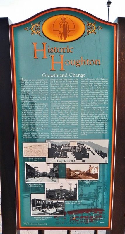
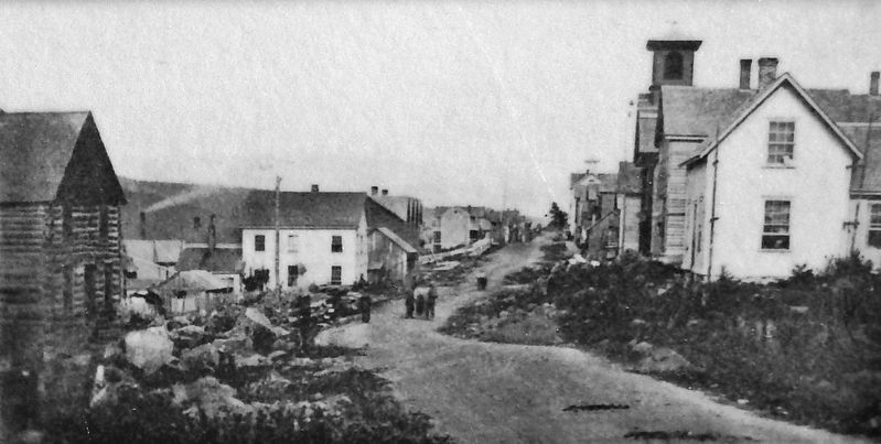
At first, the city expanded southward up the hill from its original waterfront core. Over time, a cycle of destruction and construction stratified Houghton's central section into clearly identifiable zones. A section of docks, warehouses and industrial buildings comprised the zone of property adjacent to Portage Lake. Above this, Shelden Avenue formed the core of a second linear zone including hotels, saloons and retail businesses. Further up the hillside, beginning along Montezuma Avenue, a residential neighborhood developed, with homes, schools and churches.
The city also pushed east and west from its original core. To the east, houses for many of Houghton's successful merchant and mining class lined College Avenue. At the end of the road, the Michigan Mining School, begun in rented space in downtown Houghton in 1885, established permanent roots on property donated by local state senator Jay Hubbell. Fraternities and sororities now inhabit many of East Houghton's larger homes and college students form a significant portion of the city's population.
The west side also developed residential housing in the 1880s and 1890s, but saw more active growth following the formation of the Copper Range Company in 1899. As this company constructed railroad and shipping facilities along the western waterfront, workers and businesses scrambled to construct warehouses, commercial buildings and residential units. More recently, Houghton has annexed large blocks of property from surrounding Portage Township for retail and commercial developments.
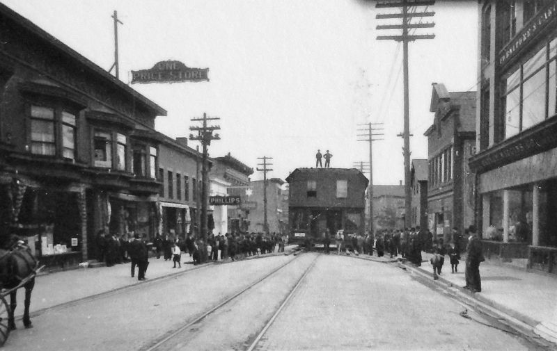
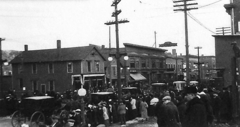
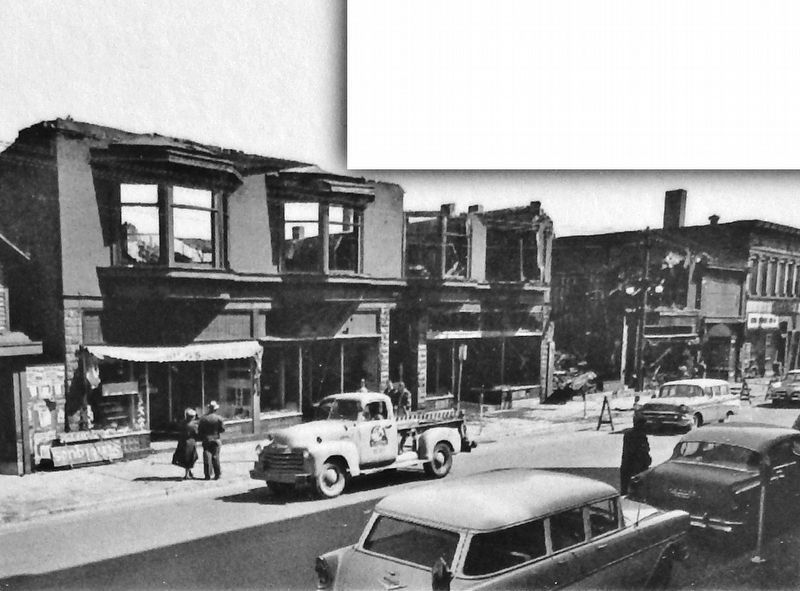
Throughout this history of outward geographic growth, Houghton's central core experienced great change and renewal. Retail and commercial businesses grew to serve the increased population, as larger stores and impressive office blocks were constructed. Social organizations flourished, encouraging larger buildings such as the Independent Order of Odd Fellows hall at the western end of Shelden Avenue, constructed in 1910. Houghton's streetscapes were also altered by a number of fires. Some were confined to individual buildings, such as a 1914 fire that razed the Carroll Foundry on Franklin Street, while others were more destructive, as one that destroyed seven Shelden Avenue buildings between Quincy Street and the bridge in 1953.
The end of local copper mining in the late 1960s, the loss of scheduled ship and rail service, and many other changes in Houghton's business and manufacturing industries have had a dramatic effect on the city's downtown area. With its population and economy now focused upon a mix of service, education and tourism industries, many historic buildings have outlived their original functions. Although some have fallen into disrepair, many others have been transformed for new uses, helping to preserve an important record of the city's long and rich history.
Erected by Michigan Coastal Management Program, MDEQ.
Topics. This historical marker is listed in these topic lists: Education • Industry & Commerce • Settlements & Settlers. A significant historical year for this entry is 1861.
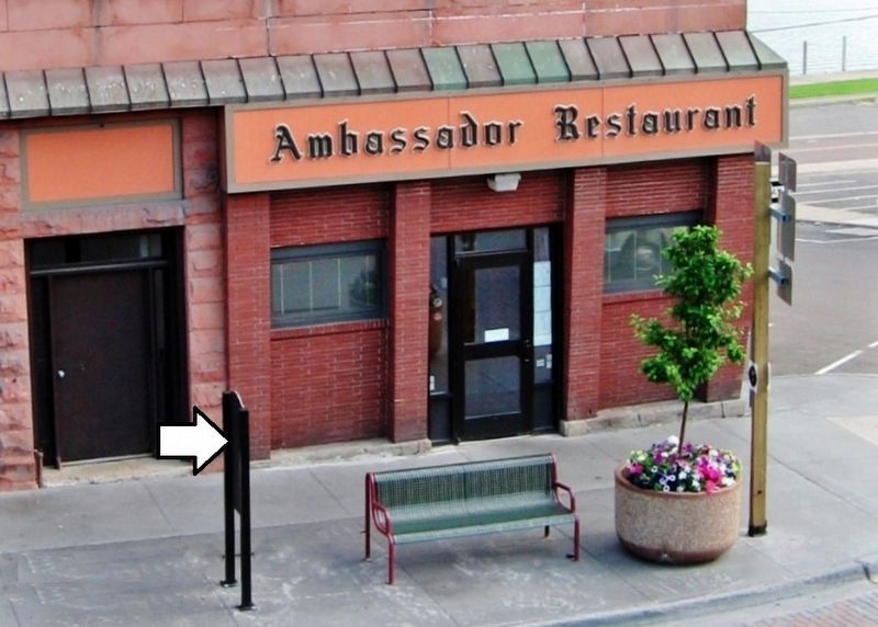
Location. 47° 7.316′ N, 88° 34.324′ W. Marker is in Houghton, Michigan, in Houghton County. Marker is at the intersection of Shelden Avenue (U.S. 41) and Quincy Street, on the right when traveling west on Shelden Avenue. Marker is located along the sidewalk, near the northwest corner of the intersection. Touch for map. Marker is at or near this postal address: 126 Shelden Avenue, Houghton MI 49931, United States of America. Touch for directions.
Other nearby markers. At least 8 other markers are within walking distance of this marker. Trinity Episcopal Church (about 400 feet away, measured in a direct line); Industry (approx. 0.2 miles away); Municipal and Cultural Activities (approx. 0.2 miles away); Copper Range Railroad Depot 1899 (approx. 0.2 miles away); Historic Houghton (approx. ¼ mile away); Grace Methodist Church (approx. ¼ mile away); Hotels and Saloons (approx. ¼ mile away); Clubs and Associations (approx. 0.3 miles away). Touch for a list and map of all markers in Houghton.
Related markers. Click here for a list of markers that are related to this marker. Historic Houghton Walking Tour
Also see . . .
1. Houghton, Michigan (Wikipedia). The post-Civil War boom and increasing demand for copper wiring fueled the development of Houghton in the 1860s and 1870s. By 1880 Houghton had become "a burgeoning city" and in 1883, the railroad was extended from Marquette. Houghton was the birthplace of professional ice hockey in the United States when the Portage Lakers were formed in 1903. (Submitted on August 2, 2020, by Cosmos Mariner of Cape Canaveral, Florida.)
2. Michigan Technological University (Wikipedia). MTU is a public research university founded in 1885 as the first post-secondary institution in the Upper Peninsula of Michigan. It was created to train mining engineers to operate the local copper mines. Science, technology, forestry and business have been added to the numerous engineering disciplines, and MTU now offers more than 130 degree programs through its five colleges and schools. (Submitted on August 2, 2020, by Cosmos Mariner of Cape Canaveral, Florida.)
Credits. This page was last revised on August 2, 2020. It was originally submitted on July 30, 2020, by Cosmos Mariner of Cape Canaveral, Florida. This page has been viewed 215 times since then and 42 times this year. Photos: 1, 2, 3, 4. submitted on August 1, 2020, by Cosmos Mariner of Cape Canaveral, Florida. 5. submitted on August 2, 2020, by Cosmos Mariner of Cape Canaveral, Florida. 6, 7. submitted on August 1, 2020, by Cosmos Mariner of Cape Canaveral, Florida.
