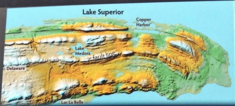
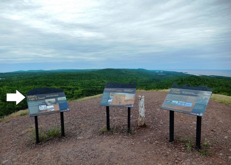
Near Copper Harbor in Keweenaw County, Michigan — The American Midwest (Great Lakes)
Wired for Light & Sound
Keweenaw copper transformed American industry and lifestyles
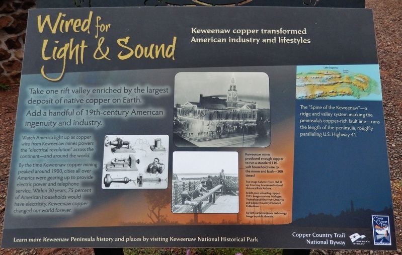
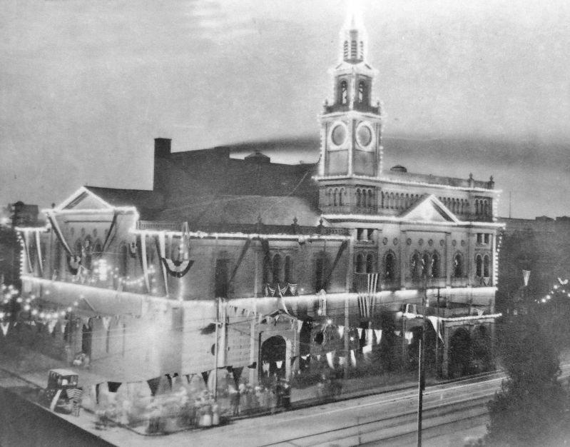
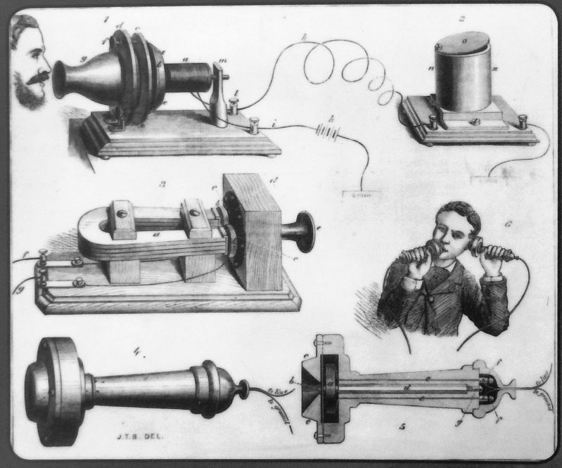
Watch America light up as copper wire from Keweenaw mines powers the "electrical revolution" across the continent — and around the world.
By the time Keweenaw copper mining peaked around 1900, cities all over America were gearing up to provide electric power and telephone service. Within 30 years, 75 percent of American households would have electricity. Keweenaw copper changed our world forever.
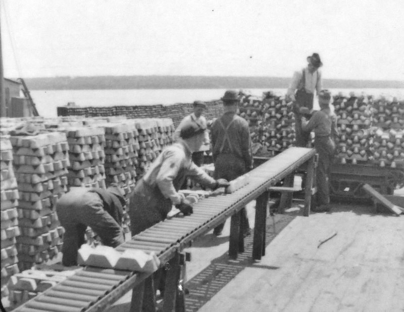
Keweenaw mines produced enough copper to run a standard 110-volt household wire to the moon and back — 300 times!
Learn more Keweenaw Peninsula history and places by visiting Keweenaw National Historical Park
Erected by Copper Country Trail National Byway.
Topics. This historical marker is listed in this topic list: Industry & Commerce.
Location. 47° 27.838′ N, 87° 58.172′ W. Marker is near Copper Harbor, Michigan, in Keweenaw County. Marker is on Brockway Mountain Drive, 4 miles west of Gratiot Street (State Highway 26). Marker is located at the West Bluff overlook on Brockway Mountain Drive, overlooking the Keweenaw Peninsula and Lake Superior to the west. Touch for map. Marker is in this post office area: Copper Harbor MI 49918, United States of America. Touch for directions.
Other nearby markers. At least 8 other markers are within 4 miles of this marker, measured as the crow flies. Corridor to the World (here, next to this marker); The Copper Country (about 300 feet away, measured in a direct line); Connecting with Wilderness (approx. 2.2 miles away); Tracing the Story (approx. 3.4 miles away); Isle Royale National Park (approx. 3.8 miles away); Copper Harbor (approx. 3.8 miles away); Fort Wilkins State Park and Historic Complex (approx. 3.8 miles away); The Estivant Pines (approx. 3.8 miles away). Touch for a list and map of all markers in Copper Harbor.
Also see . . .
1. A Guide to Michigan's Keweenaw Copper District. The Keweenaw Peninsula of Michigan was the most important site in the world for pure native copper. Mining operations began in 1845 and continued until 1968. During that time over 7 million tons of refined copper were recovered from the Keweenaw's native copper mines. From 1845 to 1865, the Keweenaw Peninsula mines accounted for three-fourths of America's copper production. (Submitted on July 31, 2020, by Cosmos Mariner of Cape Canaveral, Florida.)
2. Copper Country Trail National Byway. The Calumet and Hecla Mining Company (C&H) and the Quincy Mining Company came to dominate the Michigan copper industry. From 1867-1882, the companies represented the greatest longevity, production and technical innovation in the world. During this time, C&H alone accounted for more than half of the nation’s copper. As late as 1882, C&H accounted for 63 percent of the total U.S. copper production. (Submitted on July 31, 2020, by Cosmos Mariner of Cape Canaveral, Florida.)
3. These 11 Photos Show Michigan’s Copper Mining History Like Never Before. Most Michiganders know that our state played a large role in the earliest days of the copper mining industry, but it’s easy to forget that we once sat at the very forefront of this booming business. Here are 11 incredible photos that will help you gain an entirely new appreciation for the Great Lakes State’s influence on the development of copper mining throughout the nation. (Submitted on July 31, 2020, by Cosmos Mariner of Cape Canaveral, Florida.)
Credits. This page was last revised on July 31, 2020. It was originally submitted on July 30, 2020, by Cosmos Mariner of Cape Canaveral, Florida. This page has been viewed 120 times since then and 7 times this year. Photos: 1, 2, 3, 4, 5, 6. submitted on July 31, 2020, by Cosmos Mariner of Cape Canaveral, Florida.
