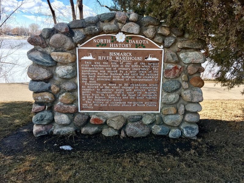
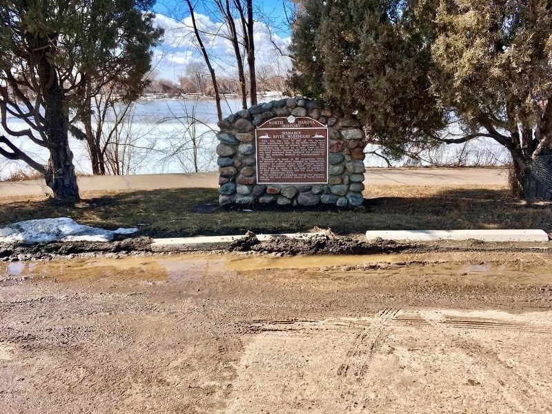
Bismarck River Warehouse
Frequently, as many as 20 steamboats would be moored at the wharf engaged in transporting supplies to military posts and pioneer settlements. Steamboat traffic used the Missouri River from St. Louis to the head of navigation at Fort Benton, Montana, and the lower reaches of the Yellowstone River.
The history of steamboat navigation presents one of the most colorful phases of North Dakota history.
Erected 1955 by State Historical Society of North Dakota.
Topics. This historical marker is listed in these topic lists: Railroads & Streetcars • Settlements & Settlers • Waterways & Vessels.
Location. 46° 48.874′ N, 100° 49.287′ W. Marker is in Bismarck, North Dakota, in Burleigh County. Marker is on River Road, 0.2 miles north of Fraine Barracks Road, on the left when traveling north. Located at the Steamboat Warehouse State Historic Site along Riverfront Trail.
Other nearby markers. At least 8 other markers are within 2 miles of this marker, measured as the crow flies. Episcopalian Services In The Area (approx. 1.6 miles away); Church of the Bread of Life (approx. 1.6 miles away); Camp Hancock Site Map (approx. 1.6 miles away); Hancock History (approx. 1.6 miles away); Locomotive #2164 (approx. 1.6 miles away); Federal Building (approx. 1.7 miles away); Site of First Court House of Burleigh County, Dakota Territory (approx. 1.8 miles away); Burleigh County Veterans Memorial (approx. 1.8 miles away). Touch for a list and map of all markers in Bismarck.
Also see . . . ND State Historical Society. (Submitted on July 31, 2020, by Connor Olson of Kewaskum, Wisconsin.)
Credits. This page was last revised on August 3, 2020. It was originally submitted on July 18, 2020, by Connor Olson of Kewaskum, Wisconsin. This page has been viewed 204 times since then and 9 times this year. Last updated on July 31, 2020, by Connor Olson of Kewaskum, Wisconsin. Photos: 1, 2. submitted on July 18, 2020, by Connor Olson of Kewaskum, Wisconsin. • Mark Hilton was the editor who published this page.

