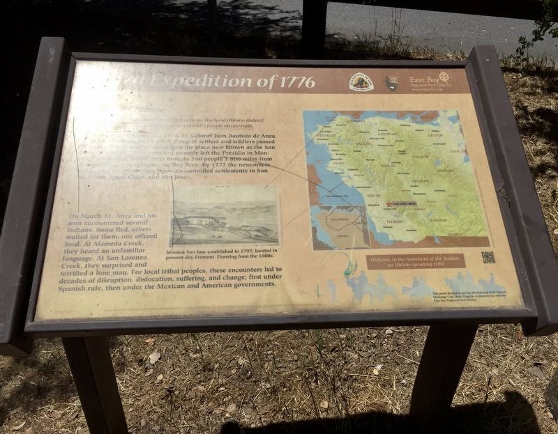
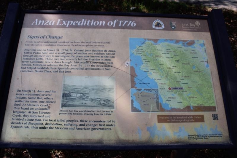
Signs of Change
Anza Expedition of 1776
Literal English translation: There come the white people on our trails.
Translation by Catherine Callaghan, Ph.D. (linguist)
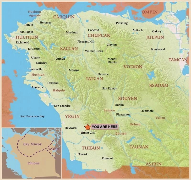
Near this site on March 31, 1776, Lt. Colonel Juan Bautista de Anza, Father Pedro Font, and a small group of settlers and soldiers passed through on their way to investigate the place now known as the San Francisco Delta. These men had recently left the Presidio in Monterey, California, where Anza brought 240 people 1,800 miles from Sonora, Mexico to colonize the Bay Area. By 1777 the newcomers had helped establish three Spanish-controlled settlements in San Francisco, Santa Clara, and San Jose.
On March 31, Anza and his men encountered several Indians. Some fled, others waited for them, one offered food. At Alameda Creek, they heard an unfamiliar language. At San Lorenzo Creek, they surprised and terrified a lone man. For local tribal peoples, these encounters led to decades of disruption, dislocation, suffering, and change; first under Spanish rule, then under the Mexican and American governments.
Erected by East Bay Regional Park District.
Topics and series. This historical marker is listed in these topic lists: Exploration • Native Americans. In addition, it is included in the Juan Bautista de Anza National Historic Trail series list. A significant historical date for this entry is March 31, 1776.
Location. 37° 36.464′ N, 122° 1.07′ W. Marker is in Union City, California, in Alameda County. Marker can be reached from May Road. Touch for map. Marker is at or near this postal address: 100 May Road, Union City CA 94587, United States of America. Touch for directions.
Other nearby markers. At least 8 other markers are within 3 miles of this marker, measured as the crow flies. A Land of Many Tribes - We Are Still Here (here, next to this marker); Honcharenko’s Sanctuary (approx. 1½ miles away); Ukrania (approx. 2.3 miles away); a different marker also named Ukrania (approx. 2.3 miles away); The Garden Store (approx. 2½ miles away); Boxed Tree Forest and Fruit Tree Orchard (approx. 2½ miles away); Buildings & Structures (approx. 2½ miles away); Gardens, Orchards & Plants (approx. 2½ miles away).
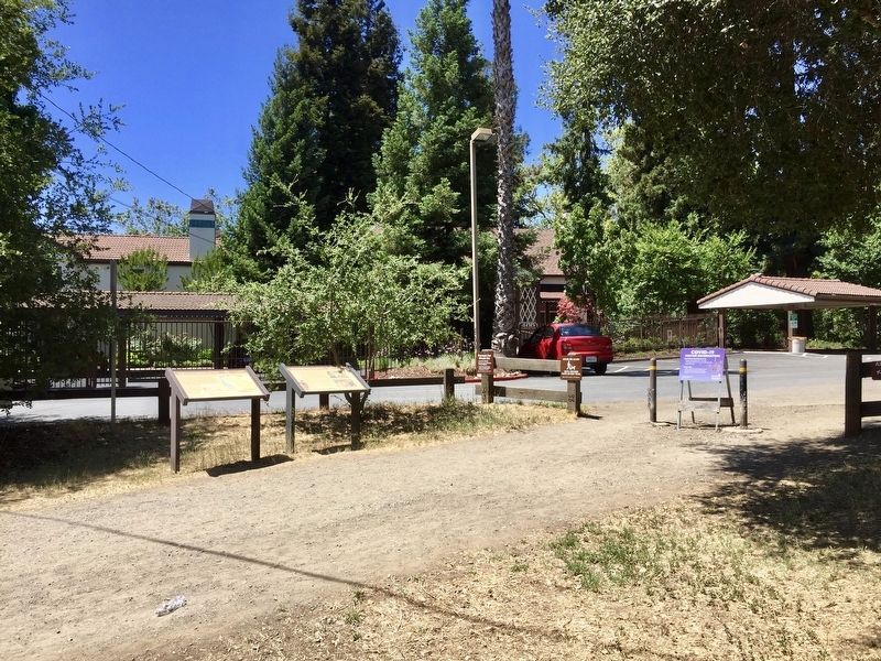
More about this marker. The marker is located at the Dry Creek Staging Area, between May Road and the parking lot, next to the trail as it heads east towards the hills.
Credits. This page was last revised on April 4, 2022. It was originally submitted on August 1, 2020, by Andrew Ruppenstein of Lamorinda, California. This page has been viewed 176 times since then and 26 times this year. Photos: 1. submitted on August 1, 2020, by Andrew Ruppenstein of Lamorinda, California. 2. submitted on April 3, 2022, by Joseph Alvarado of Livermore, California. 3, 4. submitted on August 1, 2020, by Andrew Ruppenstein of Lamorinda, California.


