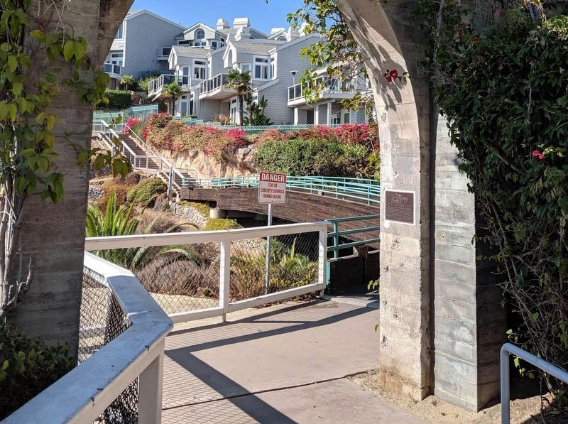
Dana Point in Orange County, California — The American West (Pacific Coastal)
Dana Point Inn
1930
Topics. This historical marker is listed in these topic lists: Architecture • Industry & Commerce.
Location. 33° 27.82′ N, 117° 42.066′ W. Marker is in Dana Point, California, in Orange County. Marker can be reached from Bluff Top Trail west of Street of the Violet Lantern. Touch for map. Marker is in this post office area: Dana Point CA 92629, United States of America. Touch for directions.
Other nearby markers. At least 8 other markers are within walking distance of this marker. Harbor / Pilgrim (within shouting distance of this marker); Dana Point Elevator (about 300 feet away, measured in a direct line); The History Beneath Your Feet: Concrete Curb and Sidewalk Stamps (approx. 0.2 miles away); Auditorium (approx. 0.2 miles away); Telephone Office (approx. 0.3 miles away); Dana Point (approx. 0.3 miles away); Richard Henry Dana Jr. (approx. 0.4 miles away); Don Hansen, Dana Wharf Sportfishing (approx. 0.6 miles away). Touch for a list and map of all markers in Dana Point.
Credits. This page was last revised on August 3, 2020. It was originally submitted on August 2, 2020, by Craig Baker of Sylmar, California. This page has been viewed 325 times since then and 57 times this year. Photos: 1, 2, 3. submitted on August 2, 2020, by Craig Baker of Sylmar, California. • Andrew Ruppenstein was the editor who published this page.


