Panhandle in Carson County, Texas — The American South (West South Central)
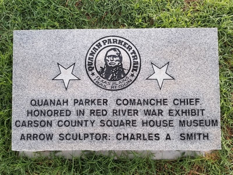
Quanah Parker Trail
Texas Plains Trail Region
Quanah Parker Comanche Chief.
Honored in Red River war exhibit
Carson County Square House Museum
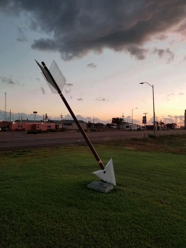
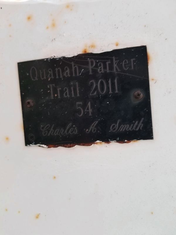
Arrow sculptor: Charles A. Smith (Marker Number 54.)
Topics. This historical marker is listed in this topic list: Native Americans.
Location. 35° 20.316′ N, 101° 22.736′ W. Marker is in Panhandle, Texas, in Carson County. Marker is on US 60, on the right when traveling east. Touch for map. Marker is at or near this postal address: 201, Panhandle TX 79068, United States of America. Touch for directions.
Other nearby markers. At least 8 other markers are within walking distance of this marker. Atchison Topeka & Santa Fe Railway Depot (approx. 0.2 miles away); Atchison, Topeka, & Santa Fe Railroad Depot (approx. 0.2 miles away); Panhandle (approx. ¼ mile away); Oldest Bank in the Texas Panhandle (approx. 0.3 miles away); Texan Hotel (approx. 0.3 miles away); The John F. Weatherlys (approx. 0.3 miles away); Panhandle "Herald" (approx. 0.4 miles away); Callaghan Memorial Library (approx. 0.4 miles away). Touch for a list and map of all markers in Panhandle.
Credits. This page was last revised on August 2, 2020. It was originally submitted on August 2, 2020, by Allen Lowrey of Amarillo, Texas. This page has been viewed 122 times since then and 11 times this year. Photos: 1, 2, 3. submitted on August 2, 2020, by Allen Lowrey of Amarillo, Texas. • J. Makali Bruton was the editor who published this page.


