Rochester in Oakland County, Michigan — The American Midwest (Great Lakes)
Chapman Pond
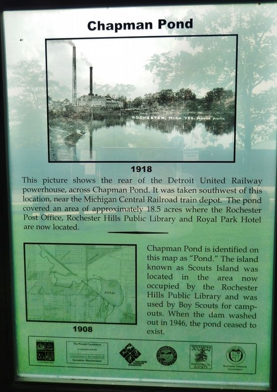
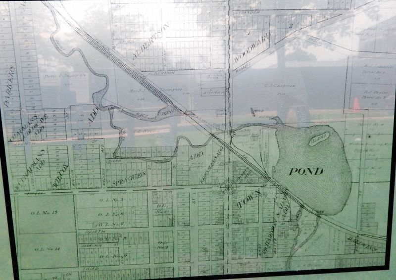
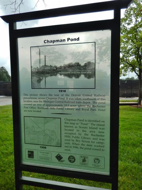
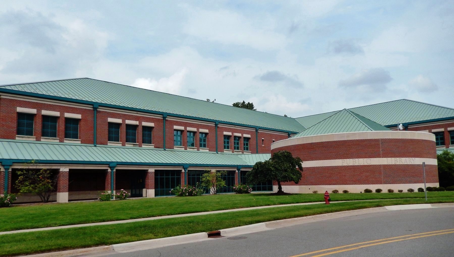
Chapman Pond is identified on this map as “Pond.” The island known as Scouts Island was located in the area now occupied by the Rochester Hills Public Library and was used by Boy Scouts for campouts. When the dam washed out in 1946, the pond ceased to exist.
Erected by Rochester Hills Museum at Van Hoosen Farm, The Preede Foundation in conjunction with the Community Foundation of Greater Rochester, Paint Creek Trailways Commission, Downtown Rochester, Rochester-Avon Historical Society, Rochester Historical Commission.
Topics. This historical marker is listed in these topic lists: Disasters • Fraternal or Sororal Organizations • Railroads & Streetcars • Waterways & Vessels. A significant historical date for this entry is June 18, 1946.
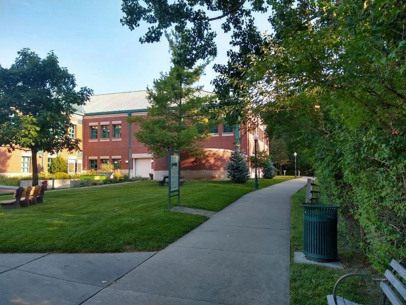
Location. 42° 41′ N, 83° 7.785′ W. Marker is in Rochester, Michigan, in Oakland County. Marker can be reached from Olde Towne Road, 0.1 miles north of East University Drive , on the right when traveling north. Marker is located along the Rochester River Walk, near the southeast corner of the Rochester Hills Public Library. Touch for map. Marker is at or near this postal address: 500 Olde Towne Road, Rochester MI 48307, United States of America. Touch for directions.
Other nearby markers. At least 8 other markers are within walking distance of this marker. Rochester Train Depot and Rochester Elevator (about 700 feet away, measured in a direct line); Western Knitting Mills Dam and Michigan Central Railroad Bridge (approx. 0.2 miles away); The Hammer (approx. 0.2 miles away); Western Knitting Mills and Boarding Houses (approx. 0.2 miles away); Western Knitting Mills (approx. 0.2 miles away); Detroit United Railway and Car Barn (approx. 0.2 miles away); Charles Chapman Estate (approx. ¼ mile away); Masonic Block (approx. ¼ mile away). Touch for a list and map of all markers in Rochester.
Also see . . .
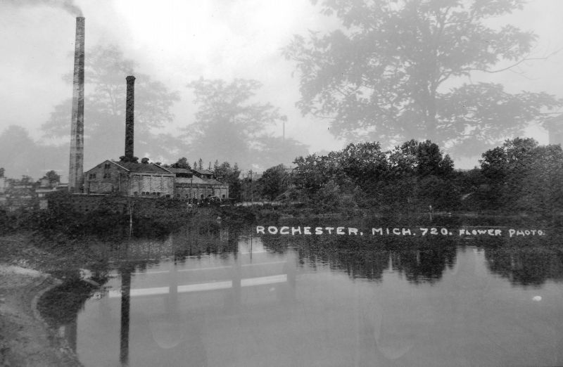
1. Chapman Pond. In the early twentieth century, the Western Knitting Mills built a dam (McAleer Dam) on Paint Creek to raise the water level in the creek. The water would be used to provide power to the Western Knitting Mills. The new dam formed a millpond and was known as Chapman Lake (or Pond). On June 18, 1946, heavy rainfall caused a dam to burst at Rudd’s Mill. It was not long before the flood reached McAleer Dam causing the land around it to give way and unleash Chapman Lake. The eastern side of Rochester was flooded; Chapman Lake’s waters damaged several homes and businesses, railroad tracks, and even killed one woman. (Submitted on August 4, 2020, by Cosmos Mariner of Cape Canaveral, Florida.)
2. Remembering Rochester. On June 18, 1946, Rochester's downtown landscape changed forever. Following the flood, Paint Creek was unwilling to be forced back into its old channel, and the dam was no longer needed to generate power, so later in the summer of 1946 some filling was done in the lake bottom, and the Chapman mill pond disappeared from Rochester's map forever. (Submitted on August 4, 2020, by Cosmos Mariner of Cape Canaveral, Florida.)
Credits. This page was last revised on April 7, 2023. It was originally submitted on August 3, 2020, by Cosmos Mariner of Cape Canaveral, Florida. This page has been viewed 382 times since then and 38 times this year. Photos: 1, 2, 3, 4. submitted on August 3, 2020, by Cosmos Mariner of Cape Canaveral, Florida. 5. submitted on August 20, 2021, by Joel Seewald of Madison Heights, Michigan. 6. submitted on August 4, 2020, by Cosmos Mariner of Cape Canaveral, Florida.
