Fort Wadsworth on Staten Island in Richmond County, New York — The American Northeast (Mid-Atlantic)
Battery Catlin
Gateway National Recreation Area, Fort Wadsworth
— National Park Service, U.S. Department of the Interior —
Inscription.
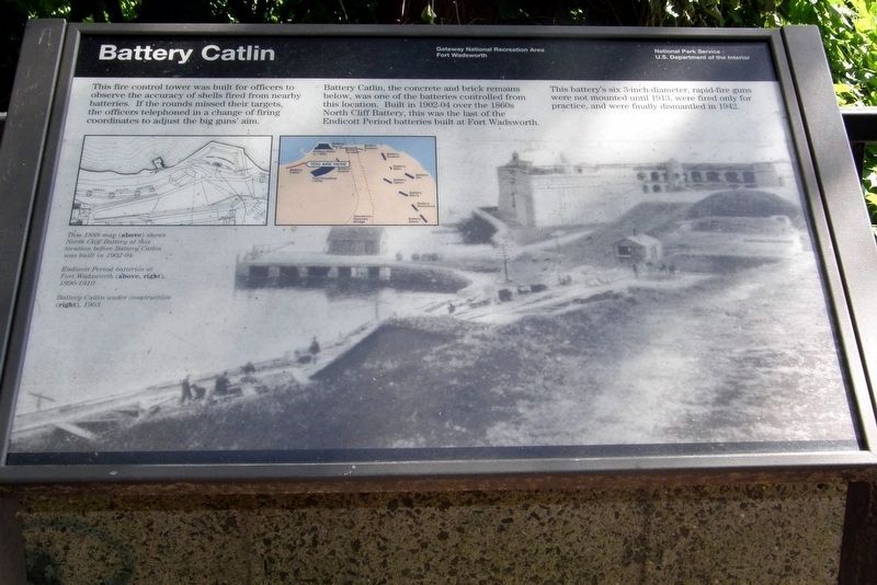
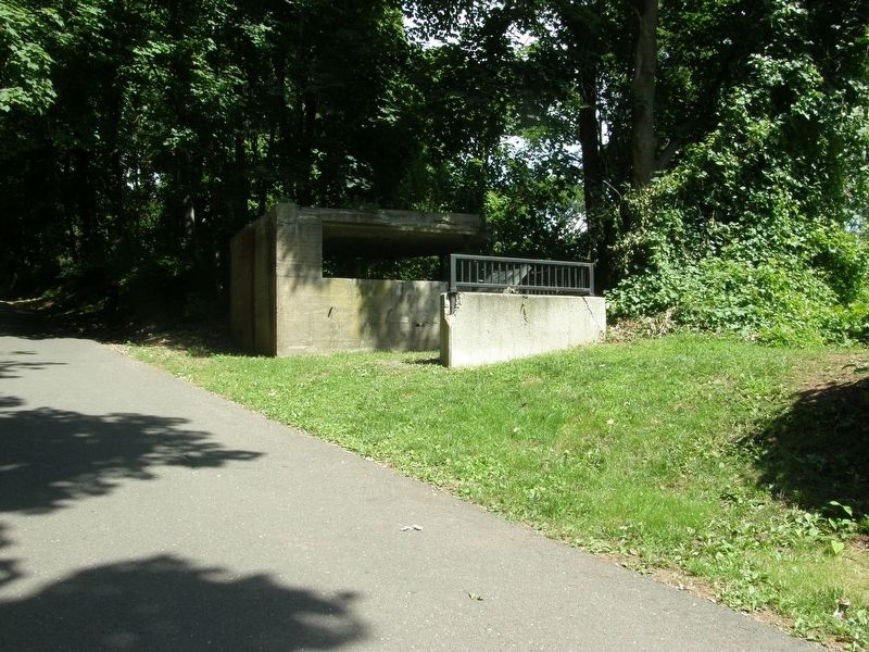
This fire control tower was built for officers to observe the accuracy of shells fired from nearby batteries. If the rounds missed their targets, the officers telephoned the change of firing coordinates to adjust the big guns’ aim.
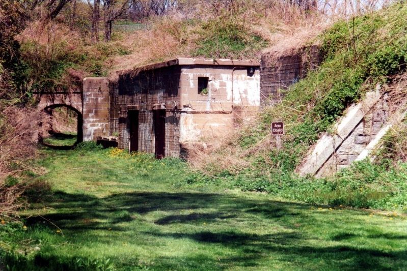
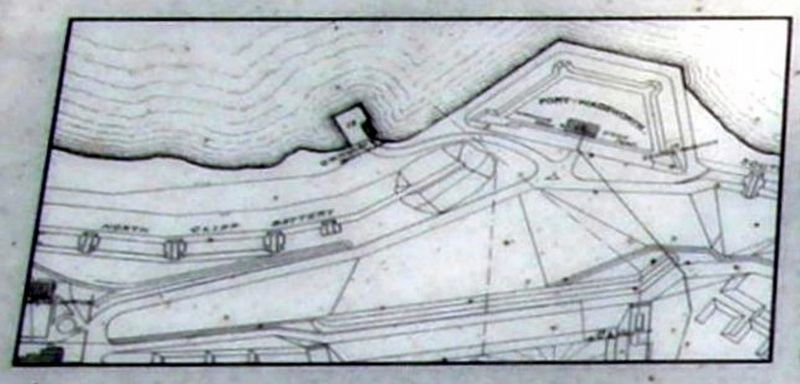
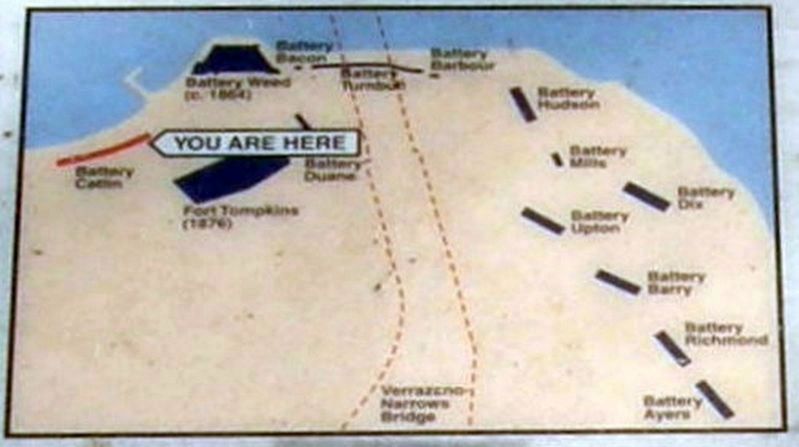
Battery Catlin, the concrete and brick remains below, was one of the batteries controlled from this location. Built in 1902-04 over the 1860s North Cliff Battery, this was one of the last of the Endicott Period batteries built at Fort Wadsworth.
This battery’s six 3-inch-diameter, rapid-fire guns were not mounted until 1913, were fired only for practice, and were finally dismantled in 1942.
Erected by National Park Service, U.S. Department of the Interior.
Topics. This historical marker is listed in this topic list: Forts and Castles. A significant historical year for this entry is 1913.
Location. 40° 36.383′ N, 74° 3.367′ W. Marker is on Staten Island, New York, in Richmond County. It is in Fort Wadsworth. Marker can be reached from park footpath, on the right when traveling west. Touch for map. Marker is in this post office area: Staten Island NY 10305, United States of America. Touch for directions.
Other nearby markers. At least 8 other markers are within walking distance of this marker. Torpedo Wharf (within shouting distance of this marker); Torpedo Building (about 500 feet away, measured in a direct line); Fort Wadsworth (about 500 feet away); Battery Weed (about 600 feet away); Defending New York Harbor (about 600 feet away); Fort Tompkins (about 600 feet away); a different marker also named Battery Weed (about 600 feet away); Verrazano – Narrows Bridge (about 700 feet away). Touch for a list and map of all markers in Staten Island.
Also see . . .
1. Battery Catlin. Fortwiki entry. (Submitted on August 4, 2020, by Larry Gertner of New York, New York.)
2. The Endicott Era Defenses. NPS entry. (Submitted on August 4, 2020, by Larry Gertner of New York, New York.)
Credits. This page was last revised on February 9, 2023. It was originally submitted on August 4, 2020, by Larry Gertner of New York, New York. This page has been viewed 360 times since then and 68 times this year. Photos: 1, 2, 3, 4, 5. submitted on August 4, 2020, by Larry Gertner of New York, New York.
