Republic in Marquette County, Michigan — The American Midwest (Great Lakes)
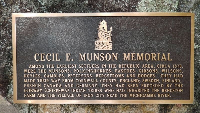
Cecil E. Munson Memorial
Topics. This historical marker and memorial is listed in these topic lists: Native Americans • Settlements & Settlers. A significant historical year for this entry is 1870.
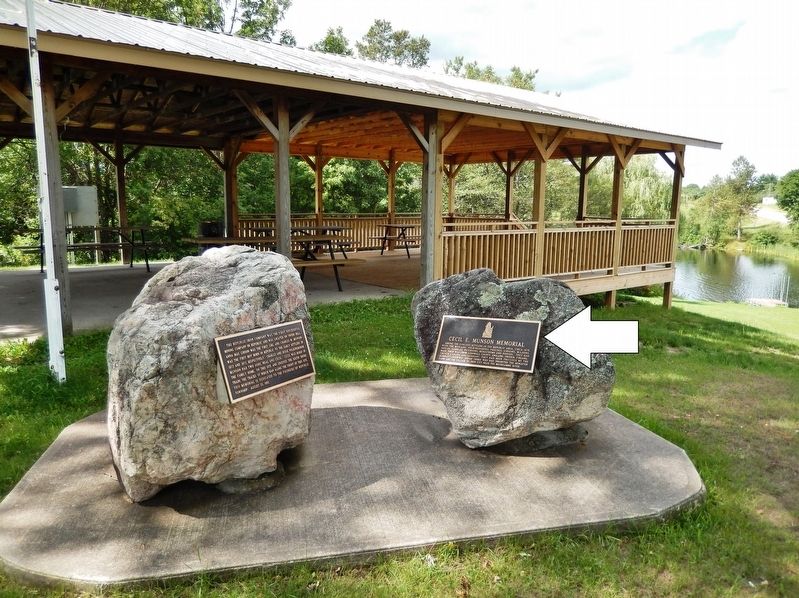
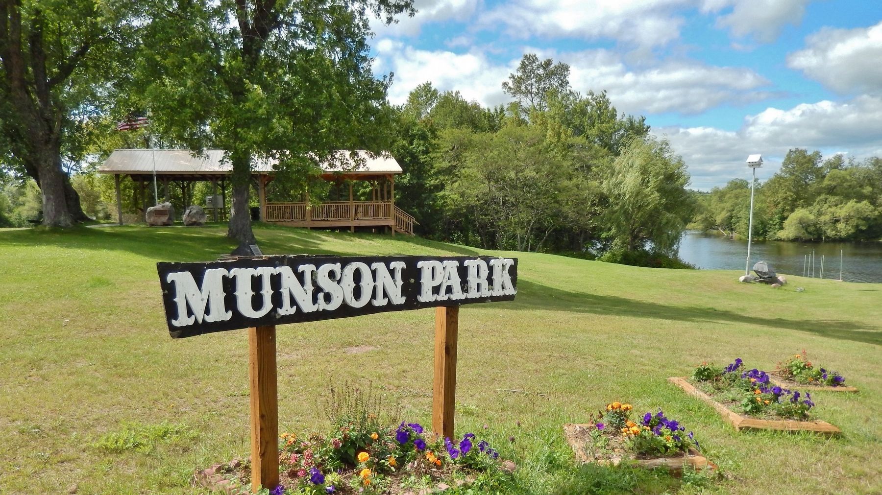
Location. 46° 24.36′ N, 87° 58.875′ W. Marker is in Republic, Michigan, in Marquette County. Marker can be reached from the intersection of Park City Road and Republic Avenue, on the right when traveling south. Marker is located in front of the pavilion in Munson Park. Touch for map. Marker is in this post office area: Republic MI 49879, United States of America. Touch for directions.
Other nearby markers. At least 8 other markers are within walking distance of this marker. The Republic Iron Company (here, next to this marker); In Memory of the Men Who Lost Their Lives (a few steps from this marker); Old Kloman Bridge (within shouting distance of this marker); Republic United Methodist Church (about 300 feet away, measured in a direct line); Welcome to the Republic Open Pit Mine Observation Site (approx. 0.2 miles away); The Life of a Miner (approx. 0.2 miles away); Early Mine Exploration and Development (approx. 0.2 miles away); The Republic Open Pit Mine (approx. 0.2 miles away). Touch for a list and map of all markers in Republic.
Also see . . . Republic Area Historical Society. The Republic area is at the northern end of M-95 in central Michigan’s Upper Peninsula. Most of the area is located along the scenic Michigamme River, an old Indian canoe route from Lake Superior to Lake Michigan. (Submitted on August 7, 2020, by Cosmos Mariner of Cape Canaveral, Florida.)
Credits. This page was last revised on August 7, 2020. It was originally submitted on August 5, 2020, by Cosmos Mariner of Cape Canaveral, Florida. This page has been viewed 125 times since then and 8 times this year. Photos: 1, 2, 3. submitted on August 7, 2020, by Cosmos Mariner of Cape Canaveral, Florida.


