Hazel Green in Madison County, Alabama — The American South (East South Central)
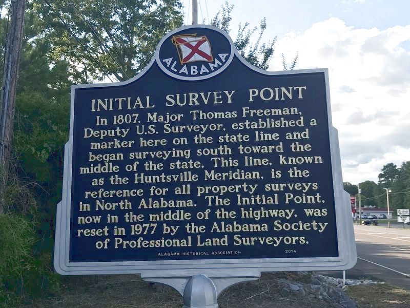
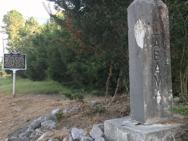
Initial Survey Point
Erected 2014 by Alabama Historical Association.
Topics and series. This historical marker is listed in this topic list: Landmarks. In addition, it is included in the Alabama Historical Association series list. A significant historical year for this entry is 1807.
Location. 34° 59.444′ N, 86° 34.282′ W. Marker is in Hazel Green, Alabama, in Madison County. Marker is at the intersection of Huntsville Highway (U.S. 231/431) and Hunter Road, on the right when traveling south on Huntsville Highway. Marker is located just south of the Alabama-Tennessee line. Touch for map. Marker is in this post office area: Hazel Green AL 35750, United States of America. Touch for directions.
Other nearby markers. At least 8 other markers are within 9 miles of this marker, measured as the crow flies. Tennessee / Alabama (a few steps from this marker); Alfred Bearden (approx. 5.6 miles away in Tennessee); Site of Quick Airplane (approx. 6.3 miles away); John Williams Walker (1783-1823) (approx. 7 miles away); Poor Farm Cemetery (approx. 8.1 miles away in Tennessee); The Lincoln County Poor Farm (approx. 8.1 miles away in Tennessee); Pioneer (Routt - Wells) Cemetery (approx. 8.3 miles away in Tennessee); Madison County Poorhouse Farm Site and Cemetery (approx. 8.6 miles away).
Credits. This page was last revised on August 6, 2020. It was originally submitted on August 5, 2020, by Duane and Tracy Marsteller of Murfreesboro, Tennessee. This page has been viewed 428 times since then and 51 times this year. Photos: 1, 2. submitted on August 5, 2020, by Duane and Tracy Marsteller of Murfreesboro, Tennessee. • Mark Hilton was the editor who published this page.

