Medora in Billings County, North Dakota — The American Midwest (Upper Plains)
River Woodland
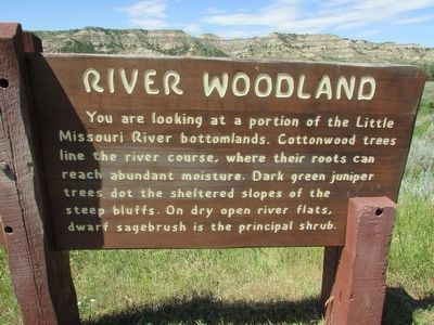
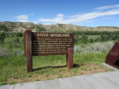
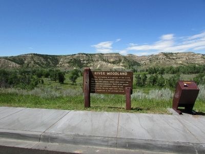
You are looking at a portion of the Little Missouri River bottomlands. Cottonwood trees line the river course, where their roots can reach abundant moisture. Dark green juniper trees dot the sheltered slopes of the steep bluffs. On dry open river flats, dwarf sagebrush is the principal shrub.
Topics. This historical marker is listed in this topic list: Horticulture & Forestry.
Location. Marker has been reported missing. It was located near 46° 56.719′ N, 103° 31.916′ W. Marker was in Medora, North Dakota, in Billings County. Marker was on E River Road, on the left when traveling north. Marker is located in the South Unit of Theodore Roosevelt National Park. Touch for map. Marker was in this post office area: Medora ND 58645, United States of America. Touch for directions.
Other nearby markers. At least 8 other markers are within 2 miles of this location, measured as the crow flies. The Shooting of Riley Luffsey (approx. 1.4 miles away); Historic Medora—Boom and Bust (approx. 1.8 miles away); On Track to Adventure (approx. 1.8 miles away); Medora Cemetery (approx. 1.9 miles away); Bad Lands Cantonment (approx. 1.9 miles away); Little Missouri: The Town (approx. 1.9 miles away); Frontier Military (approx. 1.9 miles away); Little Missouri Bridge (approx. 1.9 miles away). Touch for a list and map of all markers in Medora.
Credits. This page was last revised on August 6, 2020. It was originally submitted on September 13, 2015, by Bill Coughlin of Woodland Park, New Jersey. This page has been viewed 372 times since then and 12 times this year. Last updated on August 5, 2020, by Connor Olson of Kewaskum, Wisconsin. Photos: 1, 2, 3. submitted on September 13, 2015, by Bill Coughlin of Woodland Park, New Jersey. • Mark Hilton was the editor who published this page.


