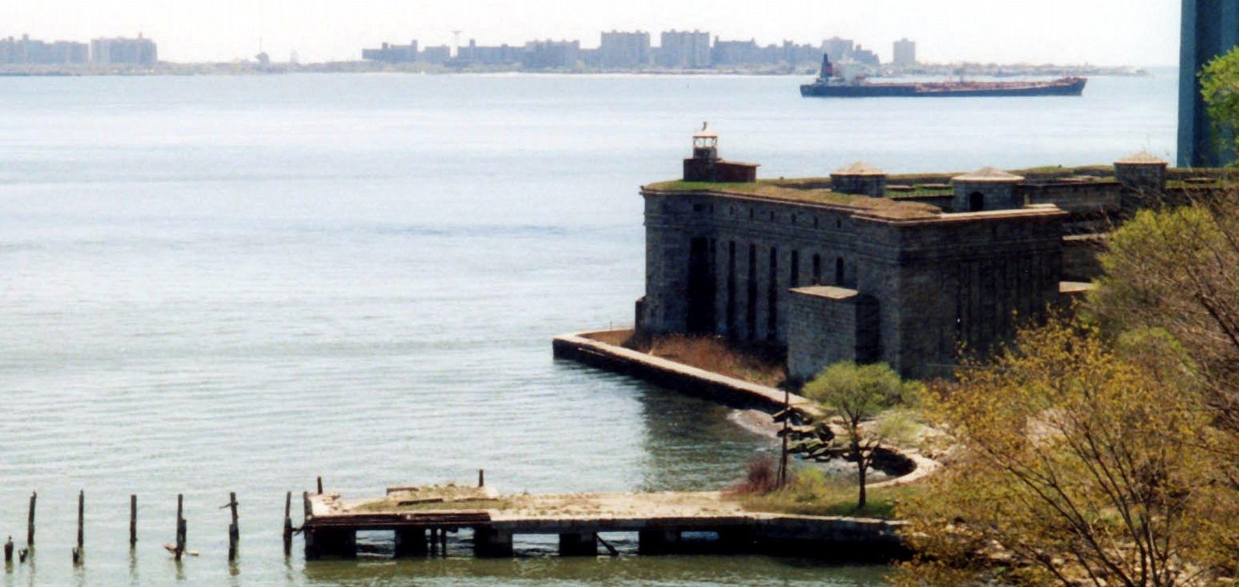
Fort Wadsworth on Staten Island in Richmond County, New York — The American Northeast (Mid-Atlantic)
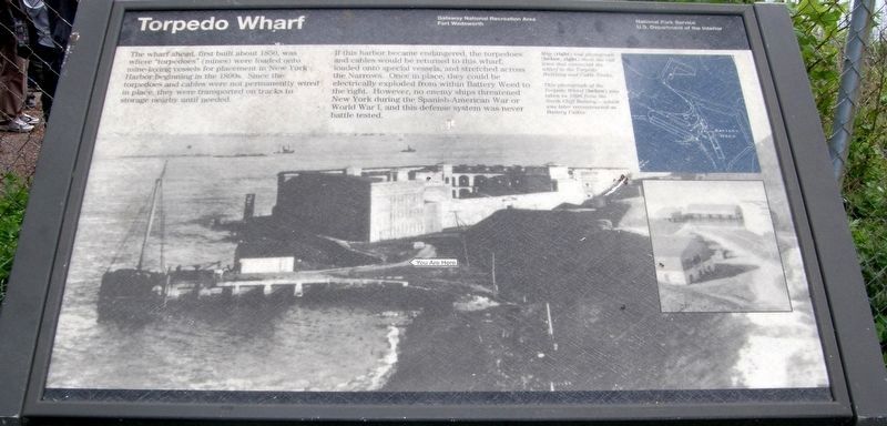
Torpedo Wharf
Gateway National Recreation Area
— National Park Service, U.S. Department of the Interior —
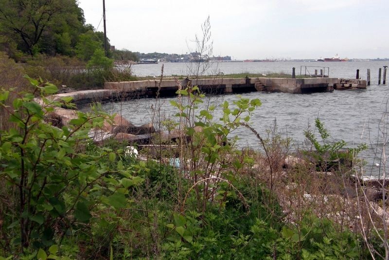
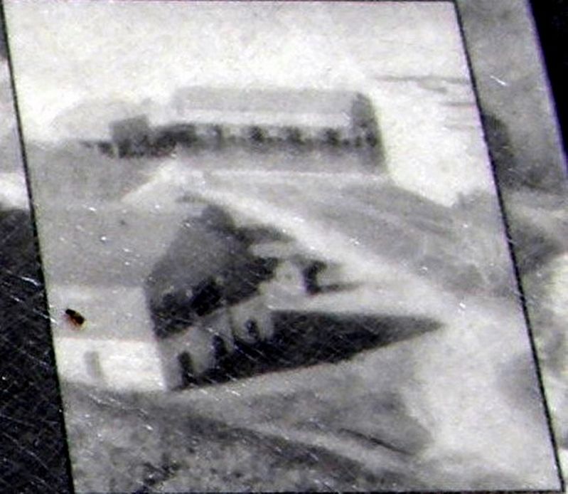
The wharf ahead, first built about 1850, was where “torpedoes” (mines) were loaded onto mine laying vessels for placement in New York harbor beginning in the 1890s. Since the torpedoes were not permanently wired in place, they were transported on tracks to storage nearby until needed.
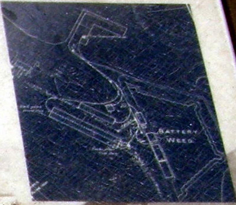
If this harbor became endangered, the torpedoes and cables would be returned to this wharf, loaded onto special vessel, and stretched across the Narrows. Once in place, they could be electrically exploded from within Battery Weed to the right. However, no enemy ships threatened New York during the Spanish-American War or World War I, and this defense system was never battle tested.
Erected by National Park Service, U.S. Department of the Interior.
Topics. This historical marker is listed in this topic list: Forts and Castles. A significant historical year for this entry is 1850.
Location. 40° 36.372′ N, 74° 3.312′ W. Marker is on Staten Island, New York, in Richmond County. It is in Fort Wadsworth. Touch for map. Marker is at or near this postal address: Fort Wadsworth - Gateway National Park, Staten Island NY 10305, United States of America. Touch for directions.
Other nearby markers. At least 8 other markers are within walking distance of this marker. Battery Catlin (within shouting distance of this marker); Torpedo Building (about 300 feet away, measured in a direct line); Battery Weed (about 300 feet away); Fort Wadsworth (about 500 feet away); Defending New York Harbor (about 500 feet away); a different marker also named Battery Weed (about 500 feet away); Fort Tompkins (about 500 feet away); Verrazano – Narrows Bridge (about 500 feet away). Touch for a list and map of all markers in Staten Island.
Credits. This page was last revised on July 24, 2023. It was originally submitted on August 10, 2020, by Larry Gertner of New York, New York. This page has been viewed 197 times since then and 31 times this year. Photos: 1, 2, 3, 4, 5. submitted on August 10, 2020, by Larry Gertner of New York, New York.
