Looking Back at Belvedere
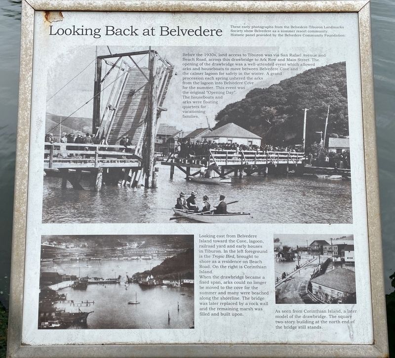
(Main photo:) Before the 1930s, land access to Tiburon was via San Rafael Avenue and Beach Road, across this drawbridge to Ark Row and Main Street. The opening of the drawbridge was a well-attended event which allowed arks and houseboats to move between Belvedere Cove and the calmer lagoon for safety in the winter. A grand procession each spring ushered the arks from the lagoon into Belvedere Cove for the summer. This event was the original “Opening Day". The houseboats and arks were floating quarters for vacationing families.
(Lower left photo:) Looking east from Belvedere Island toward the Cove, lagoon, railroad yard and early houses in Tiburon. In the left foreground is the Tropic Bird, brought to shore as a residence on Beach Road. On the right is Corinthian Island.
When the drawbridge became a fixed span, arks could no longer be moved to the cove for the summer and many were beached along the shoreline. The bridge was later replaced by a rock wall and the remaining marsh was filled and built upon.
(Lower right photo:) As seen from Corinthian Island, a later model of the drawbridge.
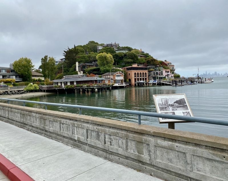
The square two-story building at the north end of the bridge still stands.Erected by Belvedere Community Foundation.
Topics. This historical marker is listed in these topic lists: Settlements & Settlers • Waterways & Vessels.
Location. 37° 52.445′ N, 122° 27.641′ W. Marker is in Belvedere, California, in Marin County. Marker is on Beach Road, on the right when traveling east. Touch for map. Marker is at or near this postal address: 16 Beach Road, Belvedere Tiburon CA 94920, United States of America. Touch for directions.
Other nearby markers. At least 8 other markers are within walking distance of this marker. 1870’s Ranch Shed (about 400 feet away, measured in a direct line); 1890’s Drawbridge Gatehouse (about 400 feet away); 1906 Arks Victorian Influence (about 500 feet away); China Cabin (about 500 feet away); 1890 Folk Victorian Residence (about 500 feet away); William Henry Webb (about 500 feet away); Pacific Mail Steamship China (about 500 feet away); 1920 Folk Victorian Dwelling (about 600 feet away). Touch for a list and map of all markers in Belvedere.
Also see . . . History (City of Belvedere). (Submitted on August 12, 2020.)
Credits. This page was last revised on August 12, 2020. It was originally submitted on August 11, 2020, by Andrew Ruppenstein of Lamorinda, California. This page has been viewed 252 times since then and 32 times this year. Photos: 1. submitted on August 11, 2020, by Andrew Ruppenstein of Lamorinda, California. 2. submitted on August 12, 2020, by Andrew Ruppenstein of Lamorinda, California.

