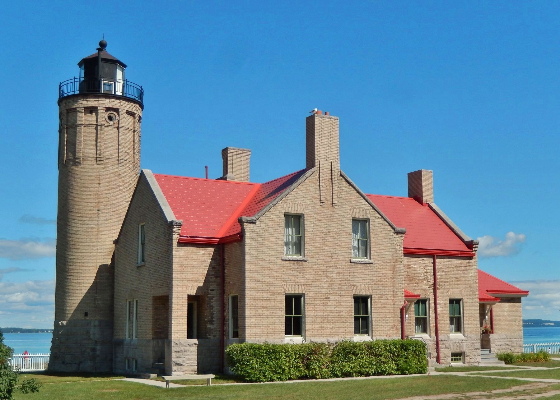
Mackinaw City in Cheboygan County, Michigan — The American Midwest (Great Lakes)
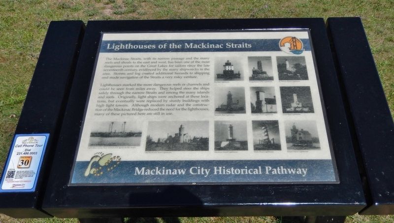
Lighthouses of the Mackinac Straits
Mackinaw City Historical Pathway
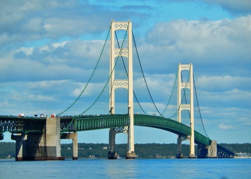
Lighthouses marked the more dangerous reefs or channels and could be seen from miles away. They helped steer the ships safely through the narrow Straits and among the many islands and reefs. Originally, light ships were anchored at these locations, but eventually were replaced by sturdy buildings with high light towers. Although modern radar and the construction of the Mackinac Bridge reduced the need for the lighthouses, many of these pictured here are still in use.
(photo captions)
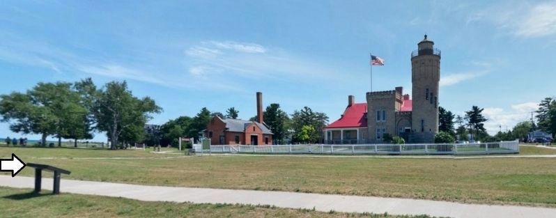
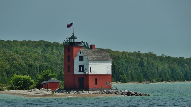
• Light ship Lansing Shoal docked at St. Ignace for the winter • Old Mackinaw Point Lighthouse • Poe Reef Lighthouse • Waugoshance Point Lighthouse • St. Helena Island Lighthouse • Spectacle Reef Lighthouse • McGulpin Point Lighthouse • Grays Reef Lighthouse • Mackinac Island Lighthouse • White Shoal Lighthouse • Round Island Lighthouse
Erected by Mackinaw City Historical Pathway. (Marker Number 30.)
Topics and series. This historical marker is listed in these topic lists: Bridges & Viaducts • Waterways & Vessels. In addition, it is included in the Lighthouses series list.
Location. 45° 47.275′ N, 84° 43.776′ W. Marker is in Mackinaw City, Michigan, in Cheboygan County. Marker can be reached from the intersection of North Huron Avenue and Ducharme Street when traveling north. Marker is located along the Mackinaw City Historical Pathway, just north of the Old Mackinac Point Lighthouse in Alexander Henry Park. Touch for map. Marker is at or near this postal address: 518 North Huron Avenue, Mackinaw City MI 49701, United States of America. Touch for directions.
Other nearby markers. At least 8 other markers are within walking distance of this marker. Fog Signal Station (within shouting distance of this marker); Old Mackinac Point Lighthouse (within shouting distance of this marker); Radio Beacon 1937/1938 (within shouting distance of this marker); Shipwrecks in the Straits (about 400 feet away, measured in a direct line); Crossroads of the Great Lakes (about 400 feet away); Fort Michilimackinac / Michilimackinac State Park (about 500 feet away); Building Mighty Mac (about 500 feet away); Graveyard of the Deep (about 500 feet away). Touch for a list and map of all markers in Mackinaw City.
Also see . . .
1. Mackinac Straits Michigan Interactive Lighthouse Map. Click on a lighthouse name or icon for more information on that lighthouse. (Submitted on August 14, 2020, by Cosmos Mariner of Cape Canaveral, Florida.)
2. Lighthouses of the Straits of Mackinac. Some of these photos were taken during a lighthouse tour during the North American Light House Festival held in Mackinaw City, Michigan. (Submitted on August 14, 2020, by Cosmos Mariner of Cape Canaveral, Florida.)
3. 14 Lighthouses to Explore in the Straits of Mackinac. Michigan has more lighthouses than any other state (at nearly 120) and the Straits of Mackinac is home to more than a dozen of these historic navigational aids. These lights remain a testament to the state’s early maritime history. (Submitted on August 14, 2020, by Cosmos Mariner of Cape Canaveral, Florida.)
Credits. This page was last revised on August 14, 2020. It was originally submitted on August 12, 2020, by Cosmos Mariner of Cape Canaveral, Florida. This page has been viewed 205 times since then and 23 times this year. Photos: 1. submitted on August 13, 2020, by Cosmos Mariner of Cape Canaveral, Florida. 2, 3, 4, 5. submitted on August 14, 2020, by Cosmos Mariner of Cape Canaveral, Florida.
