
Cedar Hill in Dallas County, Texas — The American South (West South Central)
First United Methodist Church of Cedar Hill
Photographed By Kayla Harper, August 9, 2020
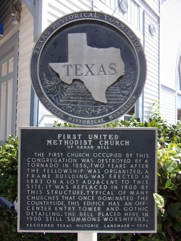
1. First United Methodist Church of Cedar Hill Marker
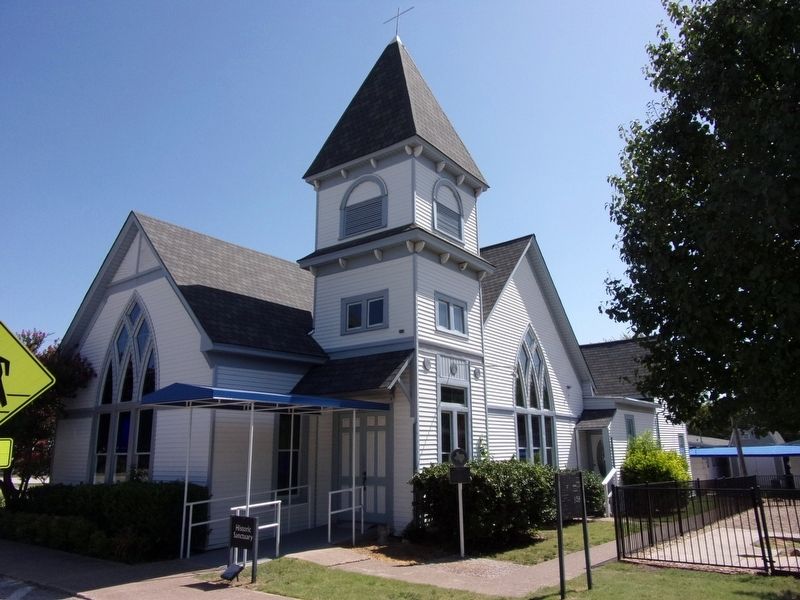
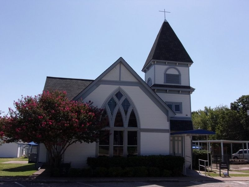
The first church occupied by this congregation was destroyed by a tornado in 1856, two years after the fellowship was organized. A frame building was erected in 1883 on a lot adjacent to this site. It was replaced in 1900 by this structure. Typical of many churches that once dominated the countryside, this edifice has an off-center entry tower and Gothic detailing. The bell placed here in 1900 still summons worshipers.
Recorded Texas Historic Landmark - 1976
Erected 1976 by Texas Historical Commission. (Marker Number 6705.)
Topics. This historical marker is listed in these topic lists: Architecture • Churches & Religion • Disasters.
Location. 32° 35.454′ N, 96° 57.503′ W. Marker is in Cedar Hill, Texas, in Dallas County. Marker is on North Roberts Road, on the right when traveling north. Touch for map. Marker is at or near this postal address: 128 N Roberts Road, Cedar Hill TX 75104, United States of America. Touch for directions.
Other nearby markers. At least 8 other markers are within 5 miles of this marker, measured as the crow flies. Dr. R.A. Roberts House (approx. 0.2 miles away); Electromagnetic Wave Contraption (approx. ¼ mile away); City of Cedar Hill (approx. 0.6 miles away); Little Bethel Cemetery (approx. 3.1 miles
this page online
Photographed By Kayla Harper, August 9, 2020
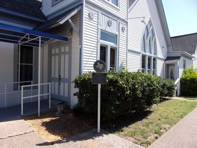
2. First United Methodist Church of Cedar Hill Marker
Photographed By Kayla Harper, August 9, 2020
3. First United Methodist Church of Cedar Hill
Photographed By Kayla Harper, August 9, 2020
4. First United Methodist Church of Cedar Hill
Credits. This page was last revised on August 14, 2020. It was originally submitted on August 13, 2020, by Kayla Harper of Dallas, Texas. This page has been viewed 252 times since then and 49 times this year. Photos: 1, 2, 3, 4. submitted on August 13, 2020, by Kayla Harper of Dallas, Texas. • J. Makali Bruton was the editor who published this page.

