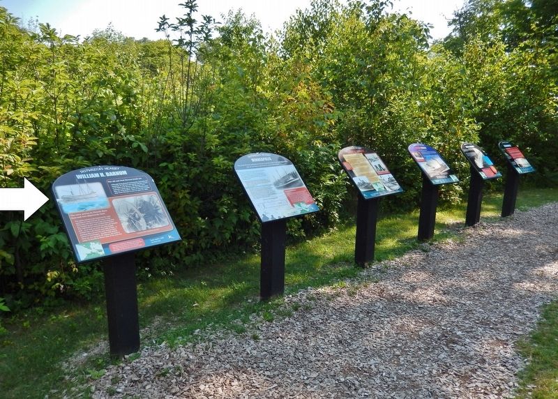
Mackinaw City in Emmet County, Michigan — The American Midwest (Great Lakes)
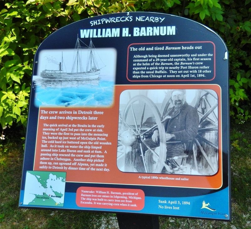
William H. Barnum
Sank April 3, 1894 — No lives lost
— Shipwrecks Nearby —
The old and tired Barnum heads out
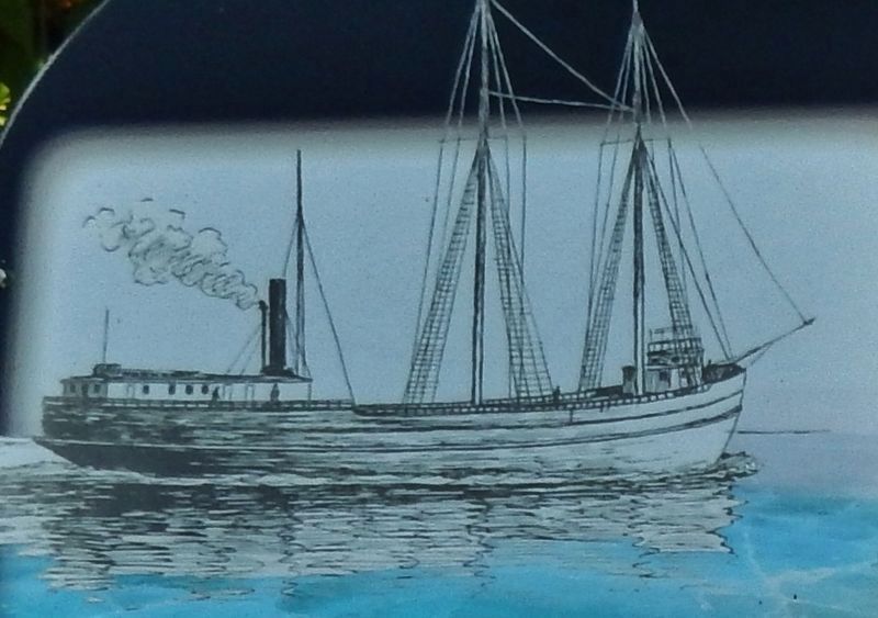
Although being deemed unseaworthy and under the command of a 29-year-old captain, his first season at the helm of the Barnum, the Barnum's crew expected a quick trip to nearby Port Huron rather than the usual Buffalo. They set out with 18 other ships from Chicago at noon on April 1st, 1894.
The crew arrives in Detroit three days and two shipwrecks later
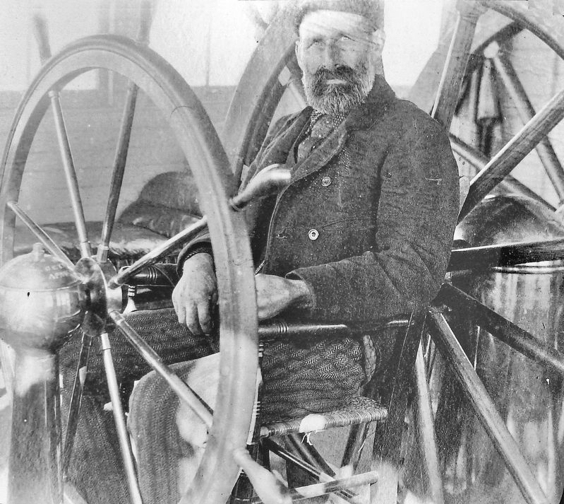
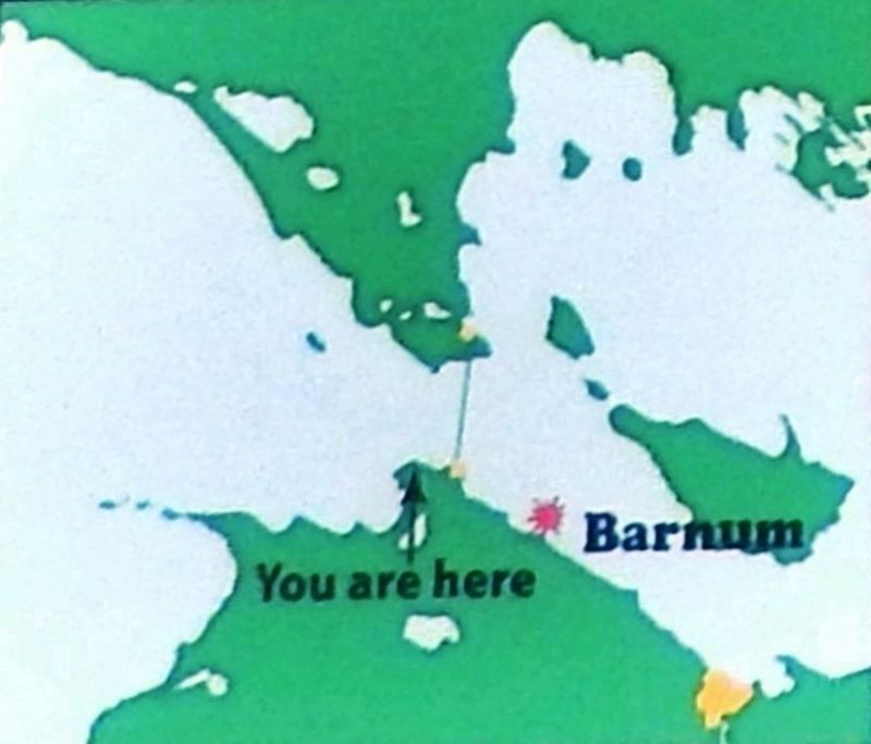
The quick arrival at the Straits in the early morning of April 3rd put the crew at risk. They were the first to pass into the menacing ice, backed up just west of McGulpin Point. The cold hard ice battered open the old wooden hull. As it took on water the ship limped around into Lake Huron and sank at 6am. A passing ship rescued the crew and put them ashore in Cheboygan. Another ship picked them up, ran aground off Alpena, yet made it safely to Detroit by dinner time of the next day.
Namesake: William H. Barnum, president of Barnum iron ore mines in Ishpeming, Michigan. The ship was built to carry iron ore from Escanaba. It was carrying corn when it sank.
Topics. This historical marker is listed in these topic lists: Industry & Commerce • Waterways & Vessels. A significant historical date for this entry is April 3, 1984.
Location. 45° 47.233′ N, 84° 46.383′ W. Marker is in Mackinaw City, Michigan, in Emmet County. Marker can be reached from Headlands Road north of McGulpin Point Road, on the right when traveling north. Marker is located along the Discovery Trail at McGulpin Point Lighthouse & Historic Site. Touch for map. Marker is at or near this postal address: 500 Headlands Road, Mackinaw City MI 49701, United States of America. Touch for directions.
Other nearby markers. At least 8 other markers are within walking distance of this marker. Minneapolis (here, next to this marker); James W. Bennett (here, next to this marker); Eber Ward (here, next to this marker); Carl D. Bradley (here, next to this marker); Cedarville (here, next to this marker); McGulpin Family Life (a few steps from this marker); Crossing the Straits (within shouting distance of this marker); Chi-Sin Trail (within shouting distance of this marker). Touch for a list and map of all markers in Mackinaw City.
Regarding William H. Barnum. An early salvage diver, Fred Ryerse, first visited the Barnum one day after it sank. It was never salvaged. Norm McCready rediscovered the wreck in 1963. Today the main hull is intact forward of the stern. The decks have collapsed into the hull leaving the boilers and single cylinder steam engine open to explore.
Related markers. Click here for a list of markers that are related to this marker. Shipwrecks Near McGulpin Point Lighthouse
Also see . . . William H. Barnum. Straits of Mackinac Shipwreck Preserve website entry:
Built in 1873 in Detroit MI, the wood steamer William H. Barnum, plied the Great Lakes for more than 20 years before reaching her demise. The tug Crusader came to her rescue and tried to move her into shallow water, but her efforts were also halted by the ice. The William Barnum now lies upright and with a mostly intact hull in 74′ of water, facing due east, 5.5 miles southeast of the bridge in Lake Huron. (Submitted on August 14, 2020, by Cosmos Mariner of Cape Canaveral, Florida.)
Credits. This page was last revised on November 5, 2023. It was originally submitted on August 14, 2020, by Cosmos Mariner of Cape Canaveral, Florida. This page has been viewed 172 times since then and 12 times this year. Photos: 1, 2, 3, 4, 5. submitted on August 14, 2020, by Cosmos Mariner of Cape Canaveral, Florida.
