Shirlington in Arlington in Arlington County, Virginia — The American South (Mid-Atlantic)
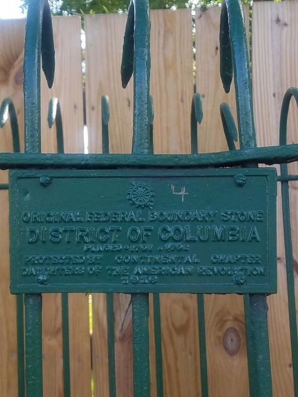
Original Federal Boundary Stone, District of Columbia, Southwest 4
Inscription.
District of Columbia
Placed 1791-1792
Protected by Continental Chapter
Daughter of the American Revolution
1918
Erected 1918 by Continental Chapter, Daughters of the American Revolution. (Marker Number SW4.)
Topics and series. This historical marker is listed in this topic list: Political Subdivisions. In addition, it is included in the Daughters of the American Revolution, and the Original Federal Boundary Stones series lists. A significant historical year for this entry is 1791.
Location. 38° 49.893′ N, 77° 5.591′ W. Marker is in Arlington, Virginia, in Arlington County. It is in Shirlington. Marker is on King Street (Virginia Route 7) 0.1 miles west of South Wakefield Street, on the right when traveling west. Touch for map. Marker is at or near this postal address: 4616 36th Street South, Arlington VA 22206, United States of America. Touch for directions.
Other nearby markers. At least 8 other markers are within walking distance of this marker. Episcopal High School (approx. 0.2 miles away); Virginia Theological Seminary (approx. 0.2 miles away); A Crossroads Through Time (approx. 0.4 miles away); Within Its Walls (approx. 0.4 miles away); Oakland Baptist Church Cemetery (approx. 0.4 miles away); Fort Reynolds (approx. 0.4 miles away); Welcome to Fort Reynolds Park (approx. 0.4 miles away); Rifle Trench (approx. half a mile away). Touch for a list and map of all markers in Arlington.
Credits. This page was last revised on February 1, 2023. It was originally submitted on October 13, 2019, by Roberto Bernate of Arlington, Virginia. This page has been viewed 178 times since then and 26 times this year. Last updated on August 15, 2020, by Roberto Bernate of Arlington, Virginia. Photos: 1, 2. submitted on October 13, 2019, by Roberto Bernate of Arlington, Virginia. • Devry Becker Jones was the editor who published this page.

