East Falls Church in Arlington in Arlington County, Virginia — The American South (Mid-Atlantic)
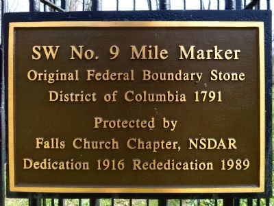
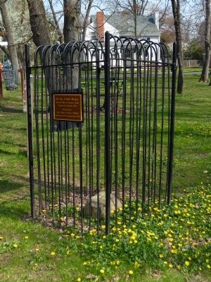
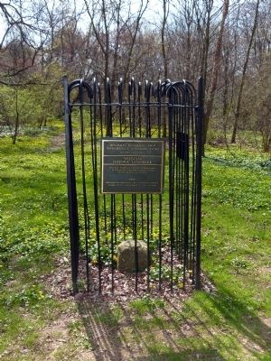
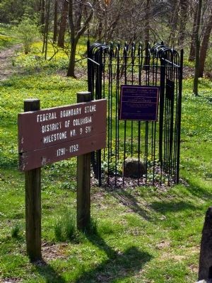
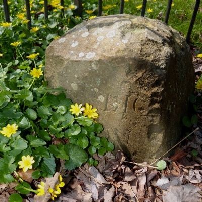
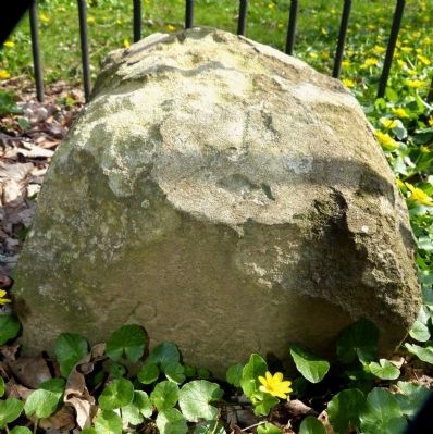
Original Federal Boundary Stone, District of Columbia, Southwest 9
District of Columbia 1791
Protected by
Falls Church Chapter, NSDAR
Dedication 1916 Rededication 1989
Erected 1989 by Falls Church Chapter, National Society of the Daughers of the American Revolution.
Topics and series. This historical marker is listed in this topic list: Man-Made Features. In addition, it is included in the Daughters of the American Revolution, the National Historic Landmarks, and the Original Federal Boundary Stones series lists. A significant historical year for this entry is 1791.
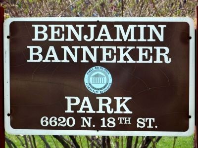
Location. 38° 52.977′ N, 77° 9.547′ W. Marker is in Arlington, Virginia, in Arlington County. It is in East Falls Church. Marker is at the intersection of North Van Buren Street and 18th Street North, on the left when traveling south on North Van Buren Street. The marker and boundary stone are in Benjamin Banneker Park. Touch for map. Marker is in this post office area: Arlington VA 22205, United States of America. Touch for directions.
Other nearby markers. At least 8 other markers are within walking distance of this marker. Benjamin Banneker Park Playground (about 500 feet away, measured in a direct line); East Falls Church (approx. 0.3 miles away); Presidential Visit to Falls Church, 1911 (approx. 0.4 miles away); Pearson's Funeral Home (approx. 0.4 miles away); Brandymore Castle (approx. 0.4 miles away); East Falls Church Station (approx. 0.4 miles away); Dulin Methodist Church (approx. 0.4 miles away); Wren’s Tavern (approx. half a mile away). Touch for a list and map of all markers in Arlington.
Regarding Original Federal Boundary Stone, District of Columbia, Southwest 9. This stone marked the boundary between Alexandria County District of Columbia and Fairfax County Virginia from 1791 to 1847. It marked the boundary between Alexandria (now Arlington) County and Fairfax County between 1847 and 1936. Since 1936 this has been on the boundary between Arlington County and the town of Falls Church.
Also see . . .
1. Benjamin Banneker and the Survey of the District of Columbia, 1791 (pdf file). Silvio Bedini, Columbia Historical Society, 1971. (Submitted on April 14, 2014, by Allen C. Browne of Silver Spring, Maryland.)
2. Federal Boundary Stone Southwest 9 (pdf file). City of Falls Church, 1999 (Submitted on April 15, 2014, by Allen C. Browne of Silver Spring, Maryland.)
Photographed By Allen C. Browne, April 13, 2014
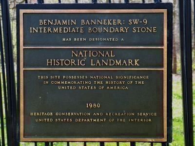
2. Benjamin Banneker: SW-9
—————————
National
Historic Landmark
—————————
This site possesses National Significance
In commemorating the history of the
United States of America
1980
Heritage Conservation and Recreation Service
United States Department of the Interior
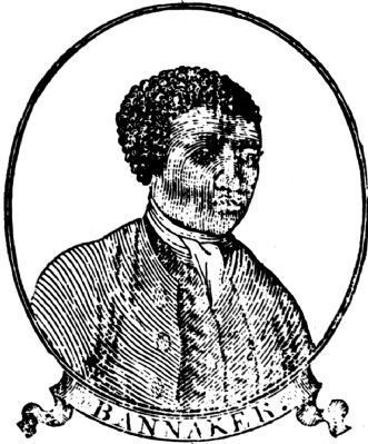
9. Benjamin Banneker
Source: Banneker's 1795 almanac, printed for and sold by John Fisher, Baltimore
Banneker's relevance to this particular boundary stone is somewhat tenuous; He worked mainly at Jone's Point, where he contributed to the survey by keeping the clock and making astronomical observations.
Banneker's relevance to this particular boundary stone is somewhat tenuous; He worked mainly at Jone's Point, where he contributed to the survey by keeping the clock and making astronomical observations.
Credits. This page was last revised on February 1, 2023. It was originally submitted on April 14, 2014, by Allen C. Browne of Silver Spring, Maryland. This page has been viewed 717 times since then and 26 times this year. Last updated on August 15, 2020, by Roberto Bernate of Arlington, Virginia. Photos: 1, 2, 3, 4, 5, 6, 7, 8, 9. submitted on April 14, 2014, by Allen C. Browne of Silver Spring, Maryland. • Devry Becker Jones was the editor who published this page.
