Mount Rainier in Prince George's County, Maryland — The American Northeast (Mid-Atlantic)
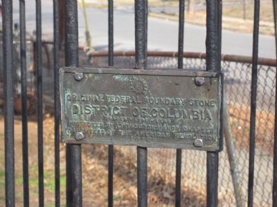
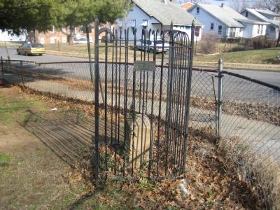
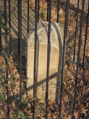
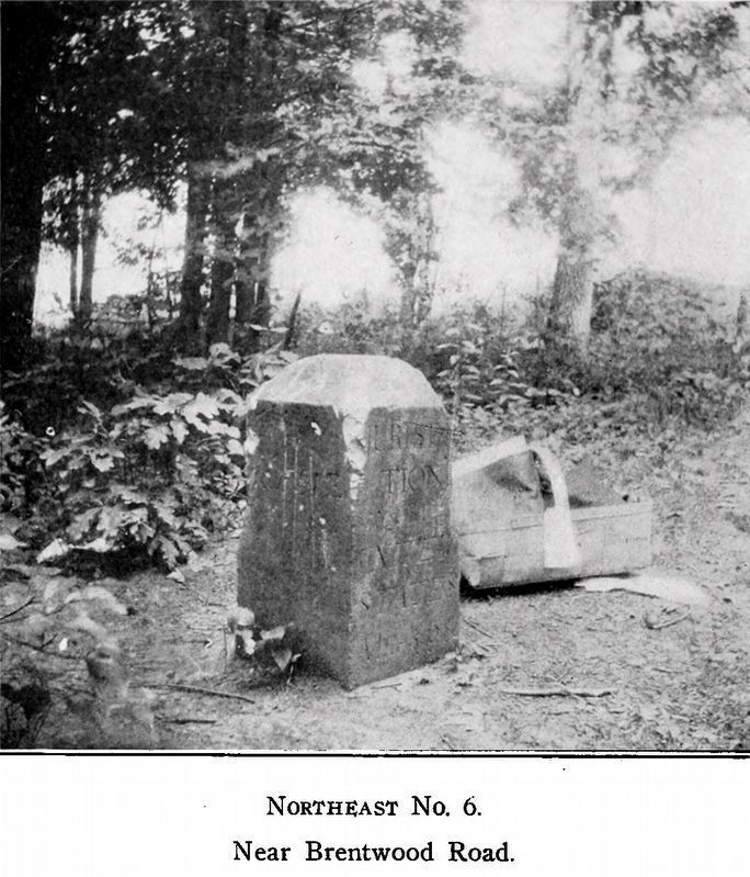
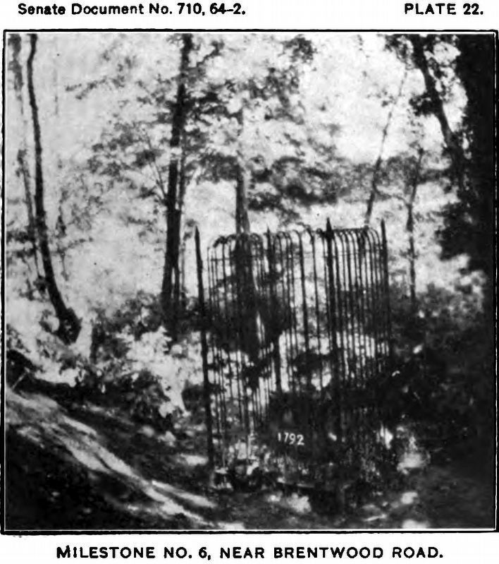
Original Federal Boundary Stone, District of Columbia, Northeast 6
District of Columbia
Placed 1791–1792
Protected by Livingston Manor Chapter
Daughters of the American Revolution
1916
Erected 1916 by Daughters of the American Revolution.
Topics and series. This historical marker is listed in this topic list: Political Subdivisions. In addition, it is included in the Daughters of the American Revolution, and the Original Federal Boundary Stones series lists. A significant historical year for this entry is 1792.
Location. 38° 56.023′ N, 76° 57.68′ W. Marker is in Mount Rainier, Maryland, in Prince George's County. Marker is at the intersection of Eastern Avenue and 34th Street, on the right when traveling north on Eastern Avenue. Touch for map. Marker is at or near this postal address: 3601 Eastern Avenue, Mount Rainier MD 20712, United States of America. Touch for directions.
Other nearby markers. At least 8 other markers are within walking distance of this marker. Historic Fort Lincoln Cemetery (approx. 0.4 miles away); Dueling Grounds (approx. half a mile away); Bladensburg Dueling Grounds (approx. half a mile away); The Road to the Capital (approx. half a mile away); a different marker also named Dueling Grounds (approx. half a mile away); The Road to the Capitol (approx. half a mile away); Marines & Flotillamen (approx. half a mile away); Little Church of Fort Lincoln (approx. half a mile away).
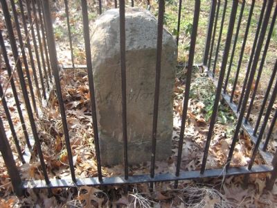
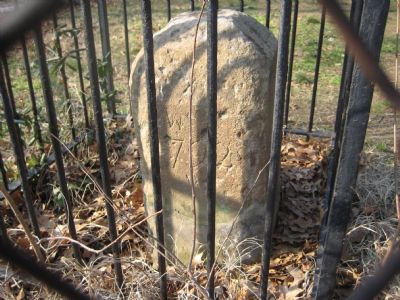
Regarding Original Federal Boundary Stone, District of Columbia, Northeast 6. This marker is known as the North East No.6 marker (NE 6), as it is the sixth marker from the North marker along the Northeast boundary between the District of Columbia and Maryland.
Also see . . . Boundary Stones of the District of Columbia. (Submitted on April 3, 2008, by Kevin W. of Stafford, Virginia.)
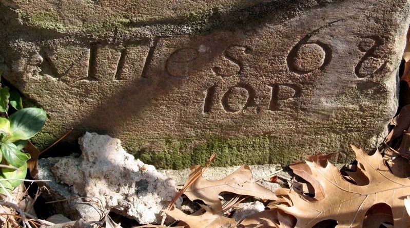
Photographed By Allen C. Browne, March 15, 2008
6. Miles 6 & 10 P
“... as the end of the measured mile fell in the little stream flowing into the Eastern Branch the surveyors measured forward ten rods to the farther bank of the stream where firm ground was reached, and it is marked 6 Miles— 10 Poles.” -- Fred E. Woodward, 1907.
Credits. This page was last revised on April 12, 2021. It was originally submitted on February 3, 2008, by F. Robby of Baltimore, Maryland. This page has been viewed 1,879 times since then and 61 times this year. Last updated on August 15, 2020, by Roberto Bernate of Arlington, Virginia. Photos: 1, 2, 3, 4, 5. submitted on February 3, 2008, by F. Robby of Baltimore, Maryland. 6, 7, 8. submitted on April 11, 2021, by Allen C. Browne of Silver Spring, Maryland. • Devry Becker Jones was the editor who published this page.
