Temple Hills in Prince George's County, Maryland — The American Northeast (Mid-Atlantic)
Original Federal Boundary Stone, District of Columbia, Southeast 6
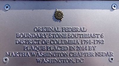
Photographed by Allen C. Browne, April 11, 2015
1. Original Federal Boundary Stone Southeast 6 Marker
Boundary Stone Southeast 6
District of Columbia 1791–1792
Plaque placed in 2014 by
Martha Washington Chapter NSDAR
Washington, DC
Erected 2014 by Martha Washington Chapter National Society of the Daughters of the American Revolution.
Topics and series. This historical marker is listed in this topic list: Political Subdivisions. In addition, it is included in the Daughters of the American Revolution (DAR), and the Original Federal Boundary Stones series lists. A significant historical year for this entry is 1792.
Location. 38° 49.881′ N, 76° 59.283′ W. Marker is in Temple Hills, Maryland, in Prince George's County. It is on Southern Avenue south of Wheeler Road, on the right when traveling north. Touch for map. Marker is at or near this postal address: 901 Southern Avenue Southeast, Capitol Heights MD 20743, United States of America. Touch for directions.

Regionally, this marker is in the Washington Metropolitan Area. It is also in the American South, specifically in the Upper South, in the Mid-Atlantic, and on the Eastern Seaboard. Globally, it is in the North Atlantic Region, North America,
this page online
Other nearby markers. At least 8 other markers are within 2 miles of this marker, measured as the crow flies: Welcome to St. Elizabeths East (approx. 0.9 miles away in District of Columbia); Original Federal Boundary Stone, District of Columbia, Southeast 7 (approx. one mile away); Original Federal Boundary Stone, District of Columbia, Southeast 5 (approx. one mile away); Congress Heights School (approx. one mile away in District of Columbia); Fort Carroll (approx. 1.1 miles away in District of Columbia); Defending the Capital (approx. 1.1 miles away in District of Columbia); a different marker also named Defending the Capital (approx. 1½ miles away in District of Columbia); In Memory of Col. Raynal C. Bolling (approx. 1½ miles away in District of Columbia). Touch for a list and map of all markers in Temple Hills.
Other markers no longer nearby. Original Federal Boundary Stone SE 6 (was a few steps from this marker but has been confirmed missing);
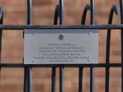
Photographed by Allen C. Browne, April 11, 2015
2. Original Federal Boundary Stone Southeast 6 Marker
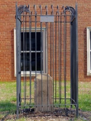
Photographed by Allen C. Browne, April 11, 2015
3. Original Federal Boundary Stone Southeast 6 Marker
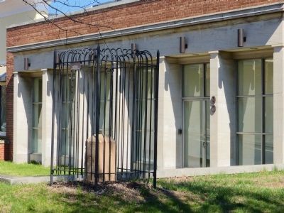
Photographed by Allen C. Browne, April 11, 2015
4. Original Federal Boundary Stone Southeast 6 Marker
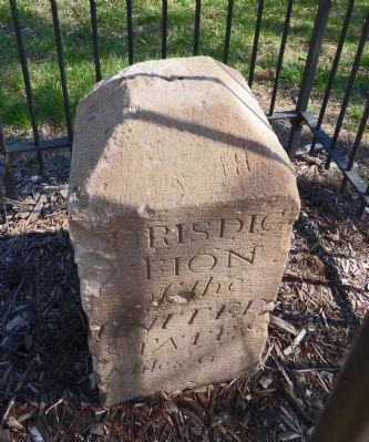
Photographed by Allen C. Browne, April 11, 2015
5. Original Federal Boundary Stone Southeast 6
tion
of the
United
States
Miles 6
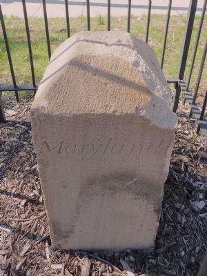
Photographed by Allen C. Browne, April 11, 2015
6. Original Federal Boundary Stone Southeast 6
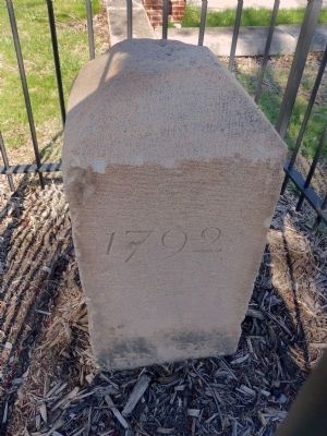
Photographed by Allen C. Browne, April 11, 2015
7. Original Federal Boundary Stone Southeast 6
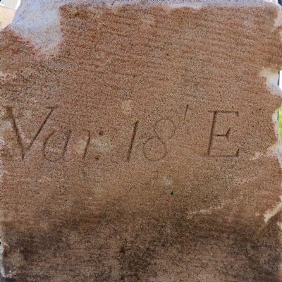
Photographed by Allen C. Browne, April 11, 2015
8. Original Federal Boundary Stone Southeast 6
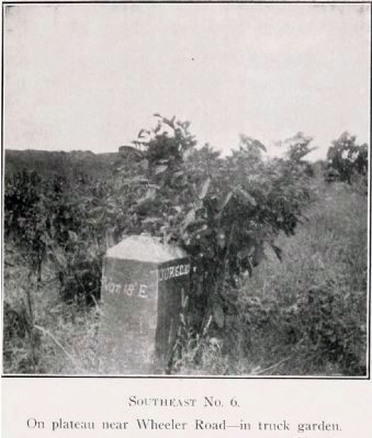
Photographed by Fred E Woodward, 1906
9. Original Federal Boundary Stone Southeast 6
When Fred Woodward visited this stone on his 1906 “Ramble”, he found it on a “platueau near Wheeler Road—in a truck garden.”
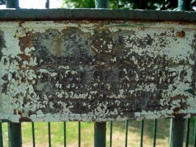
Photographed by Allen C. Browne, August 21, 2005
10. Original Federal Boundary Stone SE 6
District of Columbia
Placed 1791-1792
Protected by the Martha Washington Chapter
Daughters of the American Revolution
1916
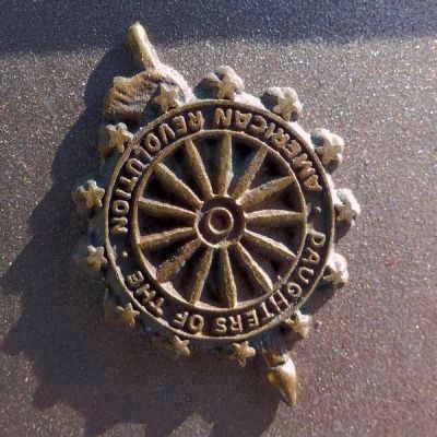
Photographed by Allen C. Browne, April 11, 2015
11. Daughters of the American Revolution
The DAR seal on the 2014 plaque appears to have been applied upside-down.
Credits. This page was last revised on October 29, 2020. It was originally submitted on April 12, 2015, by Allen C. Browne of Silver Spring, Maryland. This page has been viewed 665 times since then and 36 times this year. Last updated on August 15, 2020, by Roberto Bernate of Arlington, Virginia. Photos: 1, 2, 3, 4, 5, 6, 7, 8, 9, 10, 11. submitted on April 12, 2015, by Allen C. Browne of Silver Spring, Maryland. • Devry Becker Jones was the editor who published this page.
