Downtown in Campbell in Santa Clara County, California — The American West (Pacific Coastal)
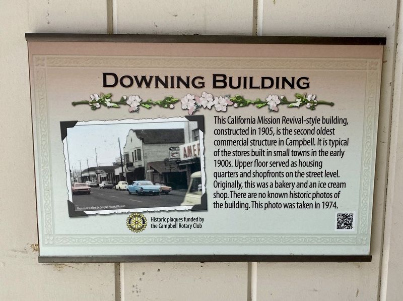
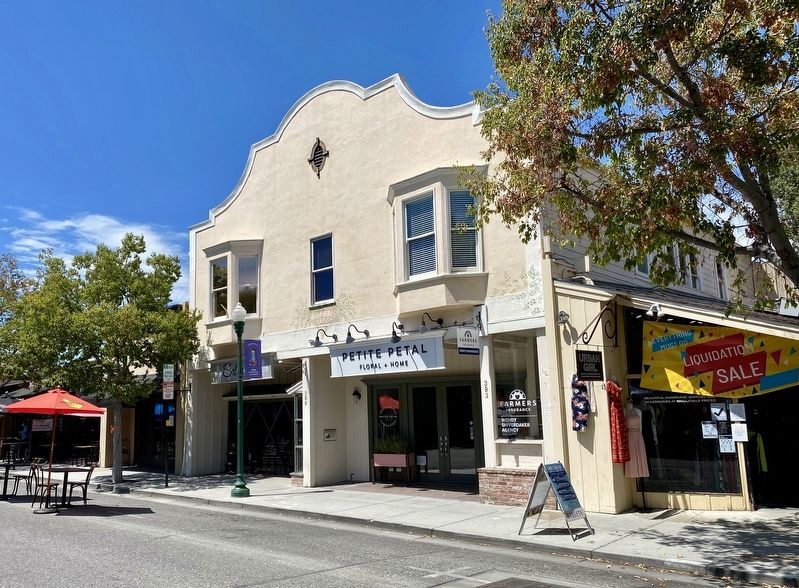
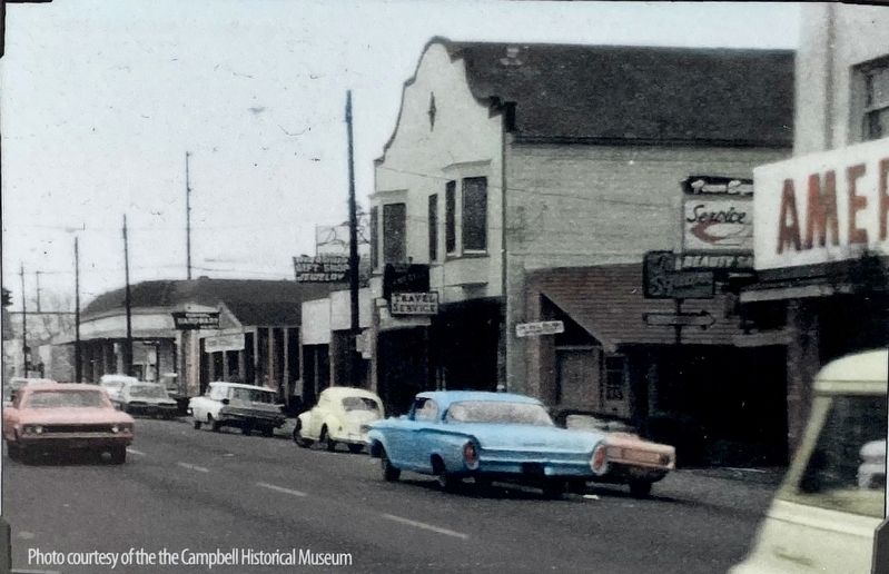
Downing Building
Erected by Campbell Rotary Club.
Topics and series. This historical marker is listed in this topic list: Industry & Commerce. In addition, it is included in the Rotary International series list. A significant historical year for this entry is 1905.
Location. 37° 17.228′ N, 121° 56.583′ W. Marker is in Campbell, California, in Santa Clara County. It is in Downtown. Marker is on East Campbell Avenue east of Central Avenue, on the left when traveling east. Touch for map. Marker is at or near this postal address: 389 East Campbell Avenue, Campbell CA 95008, United States of America. Touch for directions.
Other nearby markers. At least 8 other markers are within walking distance of this marker. Growers National Bank (a few steps from this marker); B.O. Curry Building (within shouting distance of this marker); Bank of Campbell (Farley Building) (within shouting distance of this marker); Farley Building (within shouting distance of this marker); Bank of Campbell (within shouting distance of this marker); Black Walnut Trees (within shouting distance of this marker); Agricultural Heritage Plaques (within shouting distance of this marker); Site of J.C. Ainsley Packing Company (within shouting distance of this marker). Touch for a list and map of all markers in Campbell.
Credits. This page was last revised on February 7, 2023. It was originally submitted on August 15, 2020, by Andrew Ruppenstein of Lamorinda, California. This page has been viewed 147 times since then and 11 times this year. Photos: 1, 2, 3. submitted on August 15, 2020, by Andrew Ruppenstein of Lamorinda, California.


