Bristow in Prince William County, Virginia — The American South (Mid-Atlantic)
Bristoe 1863 Trail
Bristoe Station
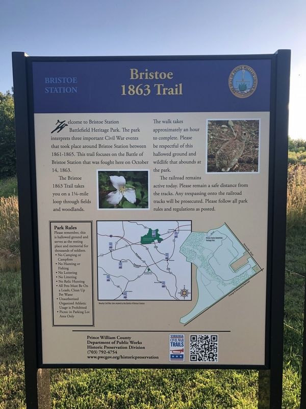
Welcome to Bristoe Station Battlefield Heritage Park. The park interprets three important Civil War events that took place around Bristoe Station between 1861-1865. This trail focuses on the Battle of Bristoe Station that was fought here on October 14, 1863.
The Bristoe 1863 Trail takes you on a 1¼-mile loop through fields and woodlands. The walk takes approximately an hour to complete. Please be respectful of this hallowed ground and wildlife that abounds at the park.
The railroad remains active today. Please remain a safe distance from the tracks. Any trespassing onto the railroad tracks will be prosecuted. Please follow all park rules and regulations as posted.
Erected by Prince William County Department of Public Works, Historic Preservation Division.
Topics. This historical marker is listed in these topic lists: Railroads & Streetcars • War, US Civil. A significant historical date for this entry is October 14, 1863.
Location. 38° 43.627′ N, 77° 32.64′ W. Marker is in Bristow, Virginia, in Prince William County. Marker is on 10th Alabama Way just south of Iron Brigade Unit Avenue, on the right when traveling south. Touch for map. Marker is at or near this postal address: 11639 Iron Brigade Unit Ave, Bristow VA 20136, United States of America. Touch for directions.
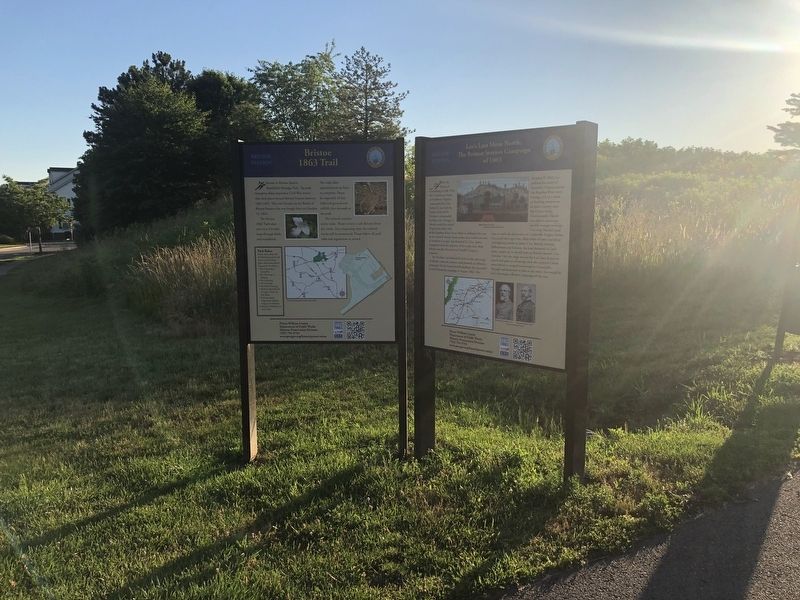
Other nearby markers. At least 8 other markers are within walking distance of this marker. Lee's Last Move North: The Bristoe Station Campaign of 1863 (here, next to this marker); Bristoe Station Battlefield Heritage Park (a few steps from this marker); Confederate Cemeteries (within shouting distance of this marker); Bristoe 1861-1862 Trail (within shouting distance of this marker); Roads to Bristoe Station (within shouting distance of this marker); Lee Catches Meade (about 300 feet away, measured in a direct line); Federal Winter Quarter (about 500 feet away); Camp Jones (about 500 feet away). Touch for a list and map of all markers in Bristow.
Credits. This page was last revised on August 17, 2020. It was originally submitted on June 13, 2020, by Devry Becker Jones of Washington, District of Columbia. This page has been viewed 264 times since then and 28 times this year. Last updated on August 16, 2020, by Bradley Owen of Morgantown, West Virginia. Photos: 1, 2. submitted on June 13, 2020, by Devry Becker Jones of Washington, District of Columbia.

