Newark in New Castle County, Delaware — The American Northeast (Mid-Atlantic)
Newark's New London Community
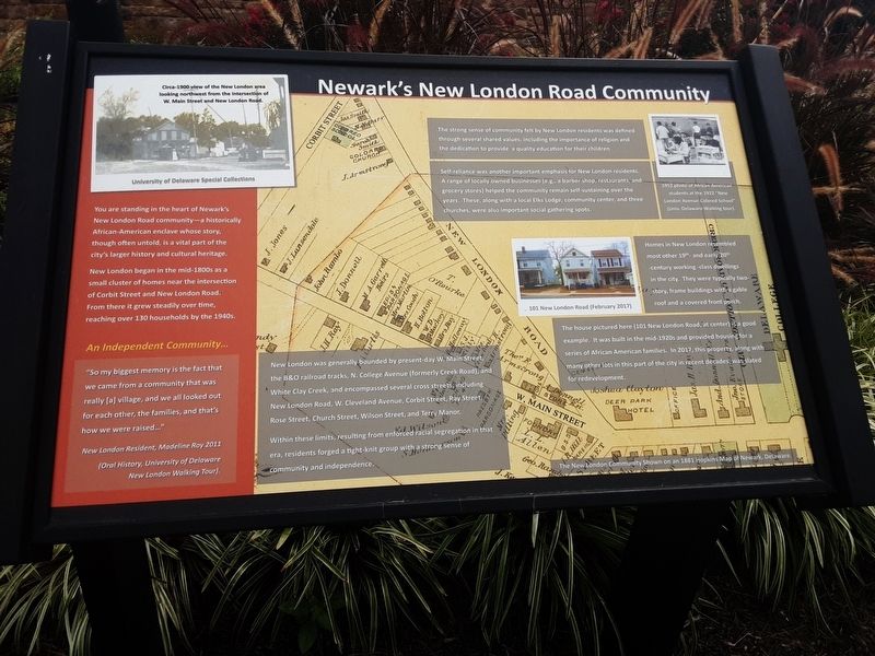
You are standing in the heart of Newark's New London Road community — a historically African-American enclave whose story, though largely untold, is a vital part of the city's larger history and cultural heritage.
New London began in the mid-1800s as a small cluster of homes near the intersection of Corbit Street and New London Road. From there it grew steadily over time, reaching over 130 households by the 1940s.
An Independent Community…
"So my biggest memory is the fact that we came from a community that was really [a] village, and we all looked out for each other, the families, and that's how we were raised…"
New London Resident, Madeline Roy 2011
(Oral History, University of Delaware
New London Walking Tour)
New London was generally bounded by present-day W. Main Street, the B&O railroad tracks, N. College Avenue (formerly Creek Road), and White Clay Creek, and encompassed several cross streets, including New London Road, W. Cleveland Avenue, Corbit Street, Ray Street, Rose Street, Church Street, Wilson Street, and Terry Manor.
Within these limits, resulting from enforced racial segregation in that era, residents forged a tight-knit group with a strong sense of community and independence.
The strong sense of community felt by New London residents was defined through several shared values, including the importance of religion and the dedication to provide a quality education for their children.
Self-reliance was another important emphasis for New London residents. A range of locally owned businesses (e.g., a barber shop, restaurants, and grocery stores) helped the community remain self-sustaining over the years. These, along with a local Elks Lodge, community center, and three churches, were also important social gathering spots.
Homes in New London resembled most other 19th- and early-20th-century working-class buildings in the city. They were typically two-story frame buildings with a gable roof and a covered front porch.
[Captions:]
Circa-1900 view of the New London area looking northwest from the intersection of W. Main Street and New London Road.
University of Delaware Special Collections
1952 photo of African American students at the 1922 "New London Avenue Colored School" (Univ. Delaware Walking tour).
101 New London Road (February 2017)
The house pictured here (101 New London Road, at center) is a good example. It was built in the mid-1930s and provided housing for a series of African-American families. In 2017, this property , along with many other lots in this part of the city in recent
The New London Community Shown on an 1881 Hopkins Map of Newark, Delaware.
Topics. This historical marker is listed in these topic lists: African Americans • Settlements & Settlers. A significant historical year for this entry is 2011.
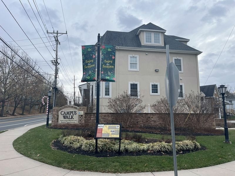
Location. 39° 41.223′ N, 75° 45.574′ W. Marker is in Newark, Delaware, in New Castle County. Marker is at the intersection of New London Road (Delaware Route 896) and Corbit Street, on the right when traveling south on New London Road. Touch for map. Marker is at or near this postal address: 131 New London Road, Newark DE 19711, United States of America. Touch for directions.
Other nearby markers. At least 8 other markers are within walking distance of this marker. Mt. Zion Union American Methodist Episcopal (UAME) Church (about 300 feet away, measured in a direct line); St. John African Methodist Church (about 700 feet away); New London Road Community (about 700 feet away); Pride of Delaware Lodge #349 IBPOEW (approx. 0.2 miles away); New London Avenue School (approx. 0.2 miles away); R.T. Foard and Jones Funeral Home (approx. 0.3 miles away); Deer Park Hotel (approx. 0.3 miles away); Old College (approx. 0.4 miles away). Touch for a list and map of all markers in Newark.
Credits. This page was last revised on December 31, 2023. It was originally submitted on August 17, 2020, by Carl Gordon Moore Jr. of North East, Maryland. This page has been viewed 233 times since then and 36 times this year. Photos: 1. submitted on August 17, 2020, by Carl Gordon Moore Jr. of North East, Maryland. 2. submitted on December 31, 2023, by Devry Becker Jones of Washington, District of Columbia. • Bill Pfingsten was the editor who published this page.

