Medora in Billings County, North Dakota — The American Midwest (Upper Plains)
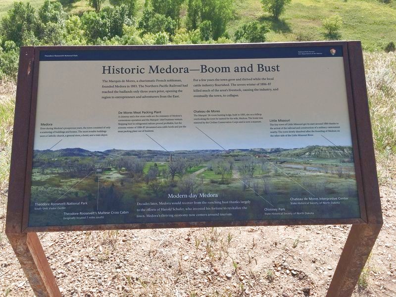
Historic Medora—Boom and Bust
Theodore Roosevelt National Park
| — | National Park Service, U.S. Department of the Interior | — |
Photographed by Connor Olson, August 3, 2020
1. Historic Medora-Boom an Bust Marker
For a few years the town grew and thrived while the local cattle industry flourished. The severe winter of 1886-87 killed much of the area's livestock, causing the industry, and eventually the town, to collapse.
Medora
Even during Medora's prosperous years, the town consisted of only a scattering of buildings and homes. The most notable buildings were a catholic church, a general store, a hotel, and a train depot.
De Mores Meat Packing Plant
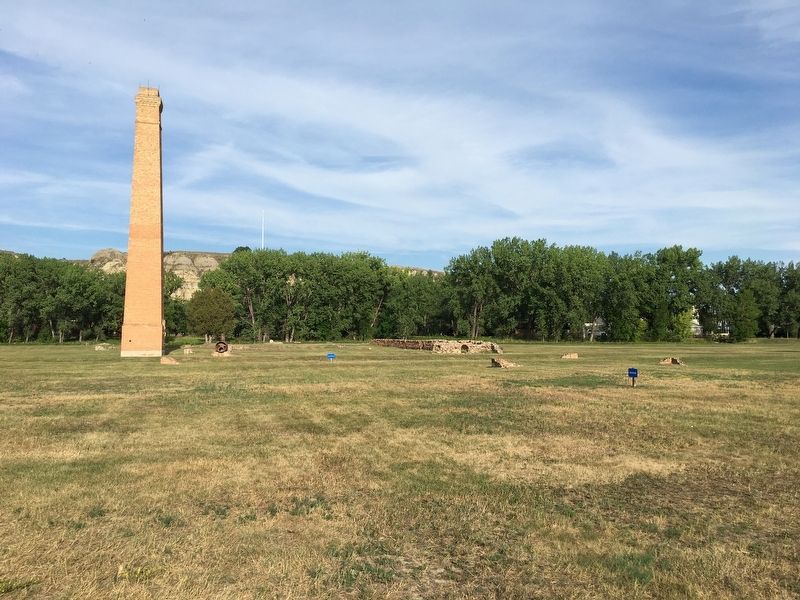
A chimney and a few stone walls are the remnants of Medora's cornerstone operation and the Marquis' chief business venture. Shipping beef in refrigerated railcars proved profitable, but the extreme winter of 1886-87 devastated area cattle herds and put the meat packing plant out of business.
Chateau de Mores
The Marquis' 26-room hunting lodge, built in 1883, sits on a hilltop overlooking the town he named for his wife, Medora. The home was restored by the Civilian Conservation Corps and is now a museum.
this page online
Little Missouri
The tiny town of Little Missouri got its start around 1880 thanks to arrival of the railroad and construction of a military cantonment nearby. The town slowly dissolved after the founding of Medora on the other side of the Little Missouri River.
Decades later, Medora would recover from the ranching bust thanks largely to the efforts of Harold Schafer, who invested his fortune to revitalize the town. Medora's thriving economy now centers around tourism.
Theodore Roosevelt National Park
South Unit Visitor Center
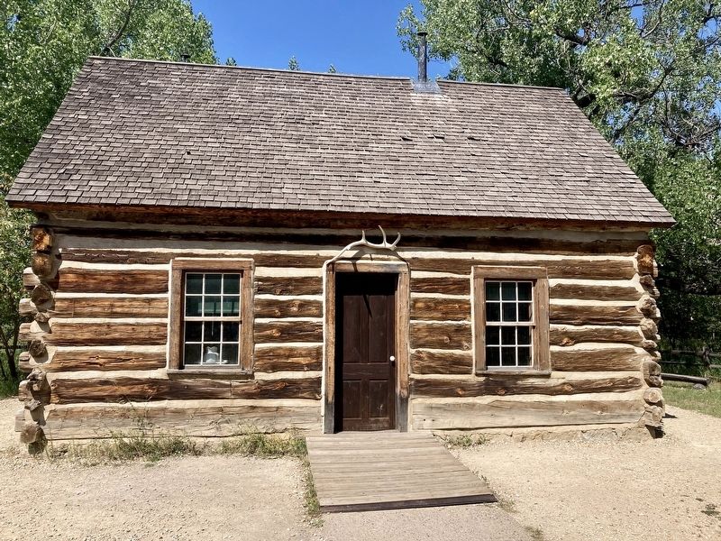
Theodore Roosevelt's Maltese Cross Cabin
(originally located 7 miles south)
Chimney Park
State Historical Society of North Dakota
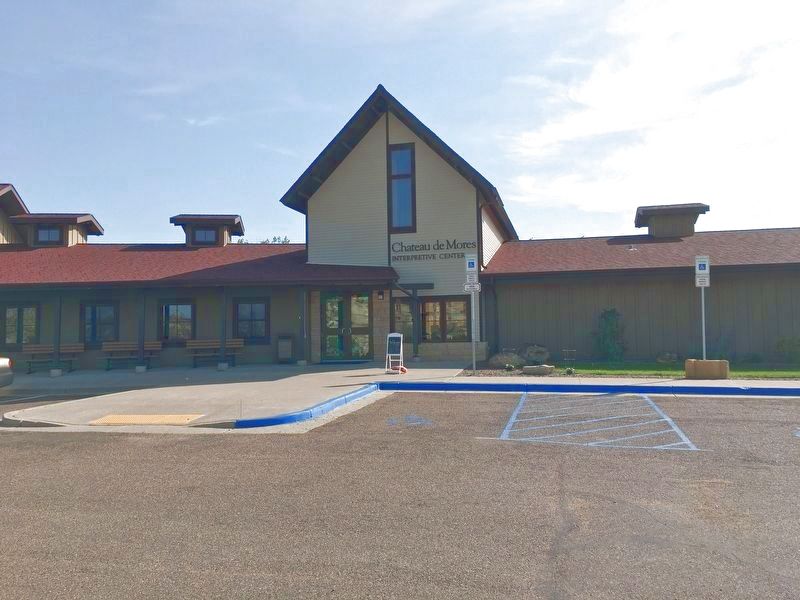
Chateau de Mores Interpretive Center
State Historical Society of North Dakota
Erected by National Park Service, U.S. Department of the Interior.
Topics. This historical marker is listed in these topic lists: Industry & Commerce • Settlements & Settlers. A significant historical year for this entry is 1883.
Location. 46° 55.163′ N, 103° 31.574′ W. Marker is in Medora, North Dakota, in Billings County. It is
Photographed by Connor Olson, August 3, 2020
2. Theodore Roosevelt's Maltese Cross Cabin

Regionally, this marker is on the Missouri Plateau. It is also in the American Lewis & Clark Corridor, on the prairies, and on the Northern Plains. Globally, it is in North America, the Western Hemisphere, the Western World, and the Anglosphere. Historically, it finds itself in what was once Rupert’s Land and also the Louisiana Purchase.
Other nearby markers. At least 8 other markers are within walking distance of this marker: On Track to Adventure (a few steps from this marker); In honor of a President . . . and His Conservation Legacy (approx. 0.2 miles away); Stephen Tyng Mather (approx. 0.2 miles away); Dreams of a Cattle Empire (approx. ¼ mile away); Loading Dock (approx. ¼ mile away); De Mores Packing Plant (approx. ¼ mile away); Joe Ferris General Store (approx. 0.3 miles away); Great Western Trail (approx. 0.3 miles away). Touch for a list and map of all markers in Medora.
Another marker is no longer nearby. Historic Medora (was here, next
Photographed by Connor Olson, August 3, 2020
3. Chateau de Mores Interpretive Center
Photographed by Connor Olson, August 3, 2020
4. Chimney Park
Credits. This page was last revised on December 25, 2024. It was originally submitted on August 18, 2020, by Connor Olson of Menomonee Falls, Wisconsin. This page has been viewed 1,138 times since then and 69 times this year. Photos: 1, 2, 3, 4. submitted on August 18, 2020, by Connor Olson of Menomonee Falls, Wisconsin. • Mark Hilton was the editor who published this page.
