Near Mammoth Cave in Edmonson County, Kentucky — The American South (East South Central)
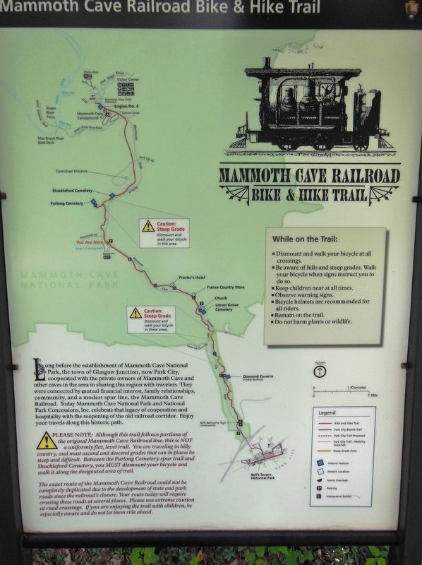
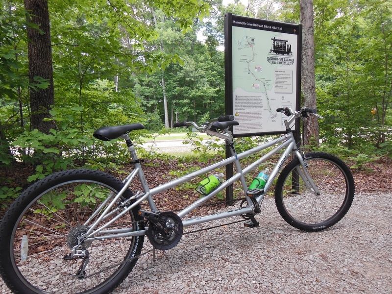
Mammoth Cave Railroad Bike & Hike Trail
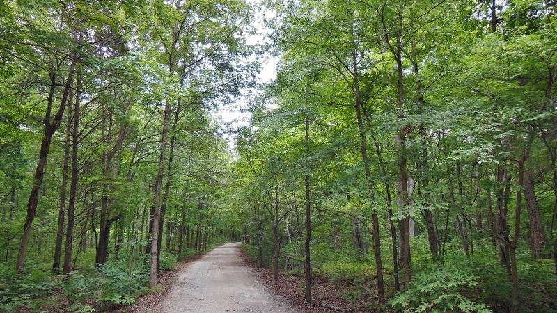
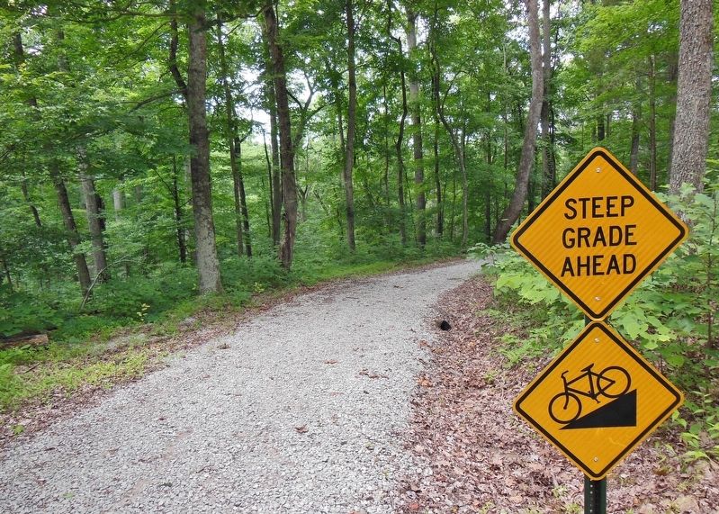
PLEASE NOTE: Although this trail follows portions of the original Mammoth Cave Railroad line, this is NOT a uniformly flat, level trail. You are traveling in hilly country, and must ascend and descend grades that can in places be steep and difficult. Between the Furlong Cemetery spur trail and Shackleford Cemetery, you MUST dismount your bicycle and walk it along the designated area of trail.
The exact route of the Mammoth Cave Railroad could not be completely duplicated due to the development of state and park roads since the railroad's closure. Your route today will require crossing these roads at several places. Please use extreme caution at road crossings. If you are enjoying the trail with children, be especially aware and do not let them ride ahead.
Erected by National Park Service, U.S. Department of the Interior.
Topics. This historical marker is listed in these topic lists: Parks & Recreational Areas • Railroads & Streetcars.
Location. 37° 9.056′ N, 86° 5.871′ W. Marker is near Mammoth Cave, Kentucky, in Edmonson County. Marker is on Mammoth Cave Parkway (Kentucky Route 70) 2.4 miles west of Kentucky Route 225, on the left when traveling west. Marker is located at the Sloans Crossing Pond Trailhead. Touch for map. Marker is in this post office area: Mammoth Cave KY 42259, United States of America. Touch for directions.
Other nearby markers. At least 8 other markers are within 3 miles of this marker, measured as the crow flies. The Forest Returns (approx. 0.4 miles away); The Trestle and the Highway (approx. one mile away); Hearth and Home (approx. 1.6 miles away); Union City: Cave Crossroads (approx. 1.7 miles away); Locust Grove Cemetery (approx. 1.9 miles away); Born Again (approx. 2.2 miles away); Engine No. 4 (approx. 2.3 miles away); The Mammoth Cave Railroad (approx. 2.3 miles away). Touch for a list and map of all markers in Mammoth Cave.
Related markers. Click here for a list of markers that are related to this marker. The Mammoth Cave Railroad (1886-1931)
Also see . . .
1. Mammoth Cave Railroad (Wikipedia). Mammoth Cave Railroad was a short rail line with a small train off the Louisville and Nashville Railroad (L&N) that went to Mammoth Caves in Kentucky. The railroad acquired four used steam engine locomotives. They were Baldwin "dummy" steam engines formally used on street railways in Memphis and Nashville, Tennessee. Usually at any one time there were two sets of “Dinkey Trains” operating. The coach cars had open vestibules and were heated with a coal stove. They were always painted red. (Submitted on August 18, 2020, by Cosmos Mariner of Cape Canaveral, Florida.)
2. Mammoth Cave Railroad Bike and Hike Trail. The first five miles of the trail opened in 2005, beginning at the northern outskirts of Park City (known as Glasgow Junction in the railroad's heyday), where you can explore the old stone structure of the stagecoach stop at Bell's Tavern, built in the early 1800s. At Sloan's Crossing, the trail ended; here, a wooden trestle once stood, but now a wooden boardwalk circles a small scenic pond. Two years later in 2007, four more miles were added, completing the trail and taking travelers deeper into the forests of Mammoth Cave National Park. (Submitted on April 18, 2021, by Cosmos Mariner of Cape Canaveral, Florida.)
Credits. This page was last revised on April 18, 2021. It was originally submitted on August 18, 2020, by Cosmos Mariner of Cape Canaveral, Florida. This page has been viewed 270 times since then and 32 times this year. Photos: 1, 2, 3, 4. submitted on August 18, 2020, by Cosmos Mariner of Cape Canaveral, Florida.


