Near Mt. Juliet in Rutherford County, Tennessee — The American South (East South Central)
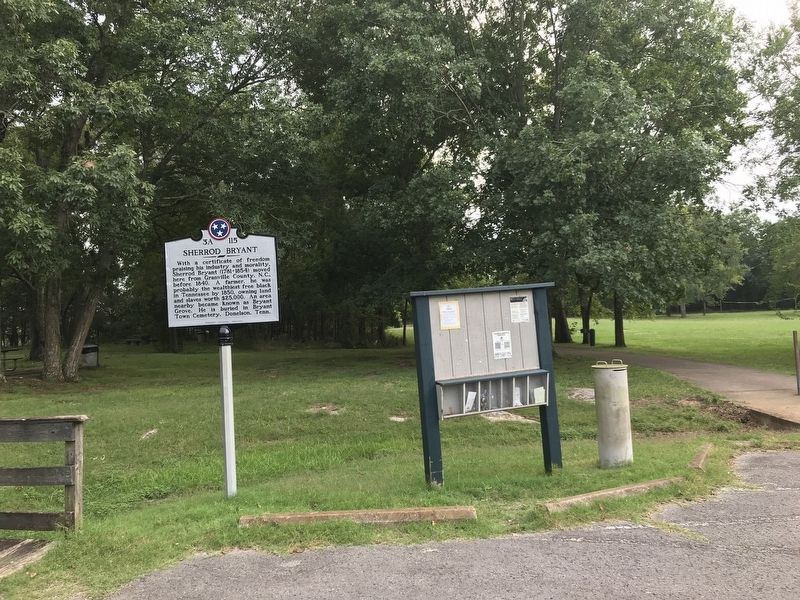
Sherrod Bryant
Erected by Tennessee Historical Commission. (Marker Number 3A 115.)
Topics and series. This historical marker is listed in these topic lists: African Americans • Agriculture • Industry & Commerce. In addition, it is included in the Tennessee Historical Commission series list. A significant historical year for this entry is 1781.
Location. 36° 4.387′ N, 86° 31.358′ W. Marker is near Mt. Juliet, Tennessee, in Rutherford County. Marker is on Barnett Road just south of Bryant Grove Trail, on the left when traveling south. Marker is located in the Bryant Grove Recreation Area of Long Hunter State Park, in the parking area by the boat launch. Touch for map. Marker is at or near this postal address: 9999 Barnett Rd, Mount Juliet TN 37122, United States of America. Touch for directions.
Other nearby markers. At least 8 other markers are within 6 miles of this marker, measured as the crow flies. Sugg's Creek Church (approx. 3.2 miles away); Skirmishes at Rural Hill (approx. 3.2 miles away); Percy Priest Lake (approx. 4˝ miles away); Mary Kate Patterson Davis Hill Kyle (approx. 4.9 miles away); Wheeler's Raid around Rosecrans (approx. 4.9 miles away); Mary Kate Patterson (approx. 5.3 miles away); Smyrna Airport (approx. 5.3 miles away); Captain Jeff Kuss, USMC (approx. 5.3 miles away).
Credits. This page was last revised on August 18, 2020. It was originally submitted on August 18, 2020, by Duane and Tracy Marsteller of Murfreesboro, Tennessee. This page has been viewed 1,134 times since then and 118 times this year. Photos: 1, 2. submitted on August 18, 2020, by Duane and Tracy Marsteller of Murfreesboro, Tennessee. • Devry Becker Jones was the editor who published this page.

