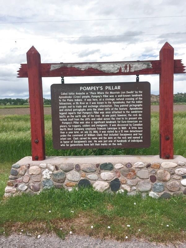
Pompey’s Pillar
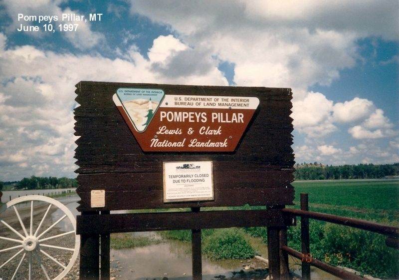
Pompey's Pillar National Monument
— Lewis & Clark National Landmark —
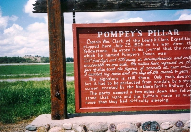
The signature is still there. Only fools destroy but it had to be protected from vandals by a steel screen erected by the Northern Pacific Railway Co.
The party camped a few miles down the Yellowstone that night and the buffalo made so much noise that they had difficulty sleeping.
Erected by Bureau of Land Management, U.S. Department of the Interior.
Topics and series. This historical marker is listed in this topic list: Exploration. In addition, it is included in the Lewis & Clark Expedition series list. A significant historical date for this entry is July 25, 1806.
Location. Marker has been permanently removed. It was located near 45° 59.219′ N, 108° 0.376′ W. Marker was in Worden, Montana, in Yellowstone County. Marker was at the intersection of Old Highway 312 and Pompeys Pillar Access
We have been informed that this sign or monument is no longer there and will not be replaced. This page is an archival view of what was.
Other nearby markers. At least 8 other markers are within walking distance of this location. A different marker also named Pompey's Pillar (about 300 feet away, measured in a direct line); Camp #44 of the 1873 Yellowstone Expedition (about 300 feet away); The Huntley Irrigation Project: Harnessing the Water of the Yellowstone River (approx. 0.3 miles away); Coal: Black Wave of the Future (approx. 0.6 miles away); Open Spaces: Room to Roam (approx. 0.6 miles away); A Good Home (approx. 0.6 miles away); Buffalo: Then and Now (approx. 0.6 miles away); The "Yellowstone River" Walkway (approx. 0.6 miles away). Touch for a list and map of all markers in Worden.
Credits. This page was last revised on August 25, 2020. It was originally submitted on August 6, 2016, by Don Morfe of Baltimore, Maryland. This page has been viewed 379 times since then and 17 times this year. Last updated on August 18, 2020, by Connor Olson of Kewaskum, Wisconsin. Photos: 1, 2, 3, 4. submitted on August 6, 2016, by Don Morfe of Baltimore, Maryland. 5. submitted on July 20, 2020, by Connor Olson of Kewaskum, Wisconsin. • Bill Pfingsten was the editor who published this page.
