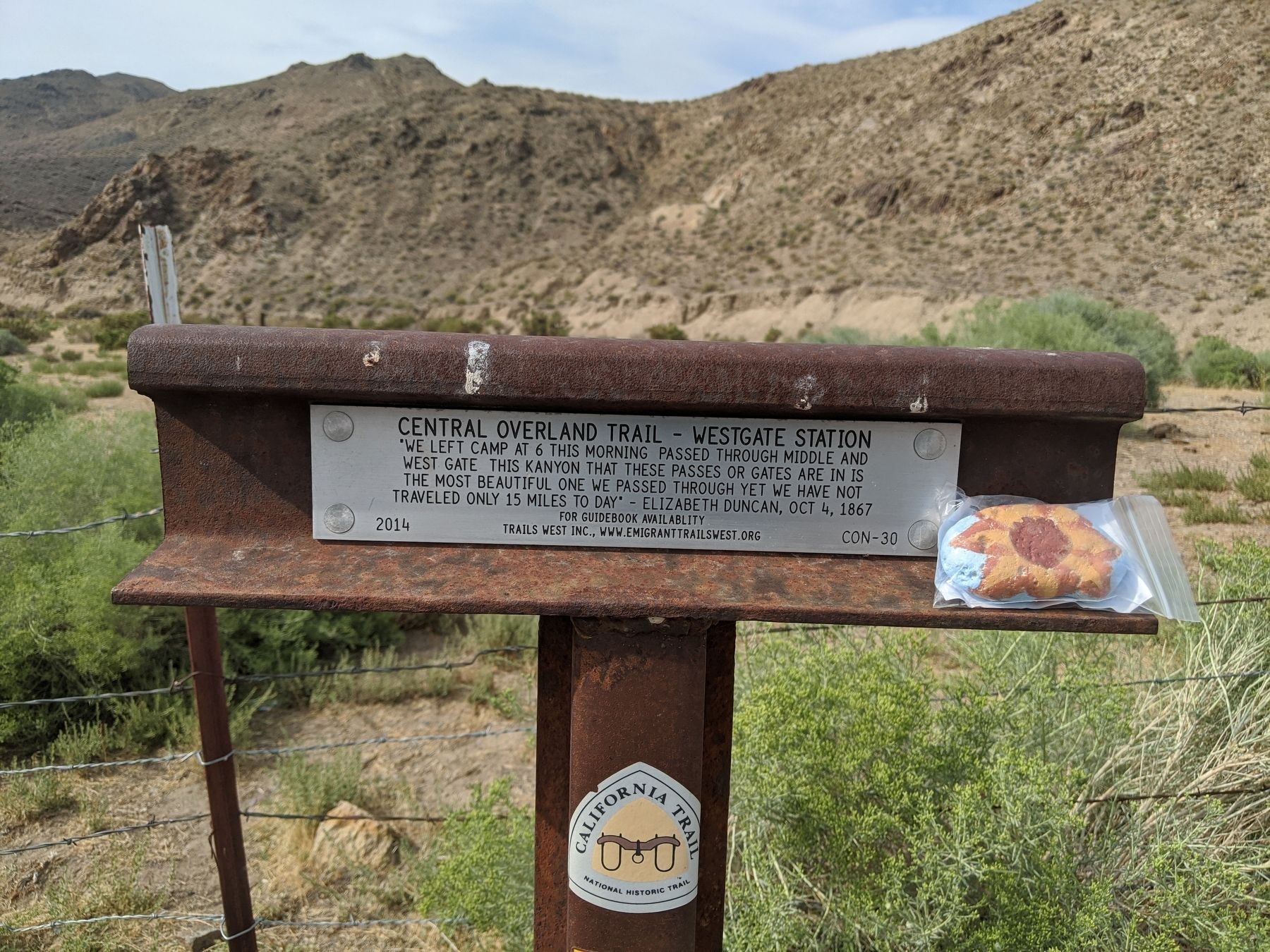
Near Middlegate in Churchill County, Nevada — The American Mountains (Southwest)
Central Overland Trail - Westgate Station
"We left camp at 6 this morning passed through Middle and West Gate
This kanyon that these passes or gates are in is the most beautiful one we passed through yet we have not traveled only 15 miles to day." - Elizabeth Duncan Oct 4, 1867
For Guidebook Availability Trails West Inc., www.emigranttrailswest.org
Erected 2014 by Trails West Inc. (Marker Number CON-30.)
Topics. This historical marker is listed in this topic list: Roads & Vehicles. A significant historical date for this entry is October 4, 1867.
Location. 39° 17.46′ N, 118° 3.181′ W. Marker is near Middlegate, Nevada, in Churchill County. Marker is on Nevada Route 50 west of Route 361, on the right when traveling west. Touch for map. Marker is in this post office area: Fallon NV 89406, United States of America. Touch for directions.
Other nearby markers. At least 8 other markers are within 13 miles of this marker, measured as the crow flies. Middlegate Station (approx. 1.4 miles away); Fairview Peak Earthquake Faults (approx. 4.2 miles away); Measuring Earthquakes (approx. 7.4 miles away); Fairview (approx. 8.7 miles away); Wagon Jack Shelter (approx. 9.1 miles away); Rock Creek (approx. 12.8 miles away); Central Overland Trail - Cold Springs Station (approx. 12.8 miles away); The Pony Express (approx. 12.8 miles away).
Credits. This page was last revised on August 25, 2020. It was originally submitted on August 23, 2020, by Brian Phelps of Carson City, Nevada. This page has been viewed 332 times since then and 40 times this year. Photo 1. submitted on August 23, 2020, by Brian Phelps of Carson City, Nevada. • J. Makali Bruton was the editor who published this page.
