San Francisco Soyaniquilpan in Soyaniquilpan, Mexico State, Mexico — The Central Highlands (North America)
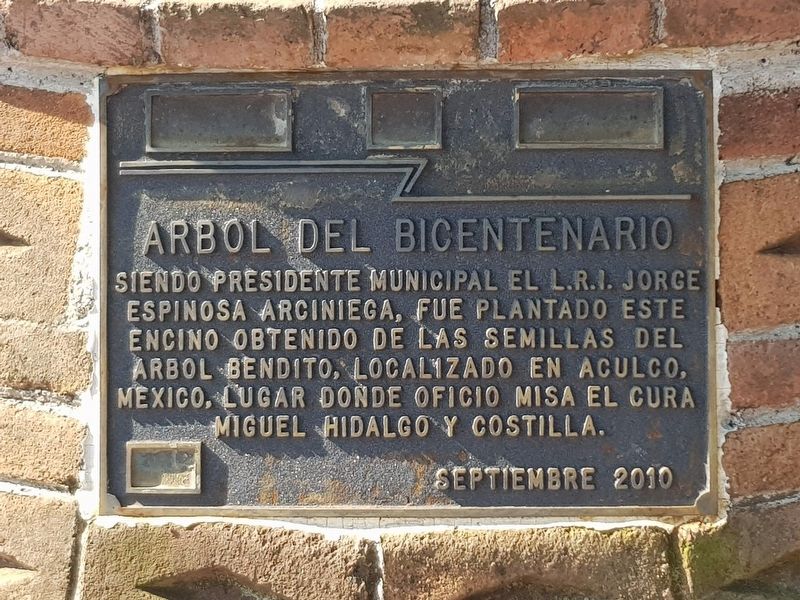
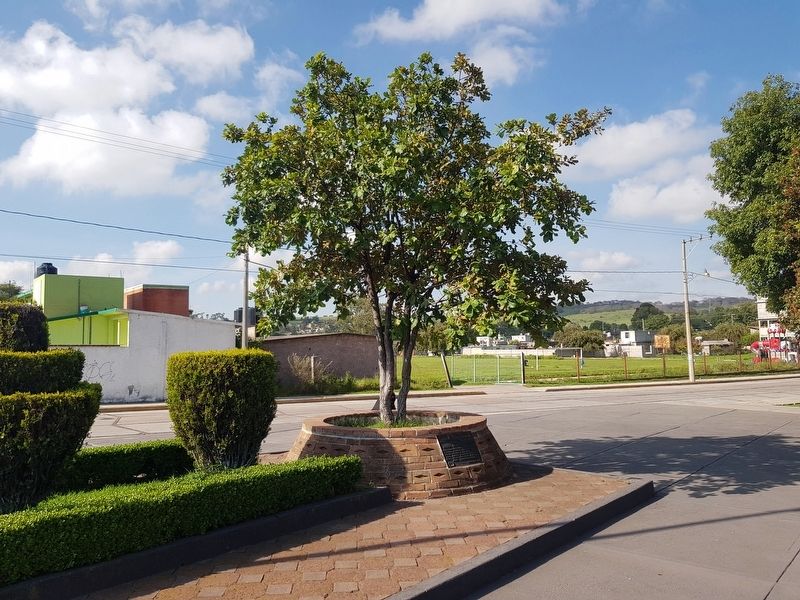
The Bicentennial Tree
Siendo Presidente Municipal El L.R.I. Jorge Espinosa Arciniega, fue plantado este encino obtenido de las semillas del arbol bendito, localizado en Aculco, Mexico, lugar donde oficio misa el cura Miguel Hidalgo y Costilla.
Septiembre 2010
The Bicentennial Tree
During the government of the Municipal President L.R.I. Jorge Espinosa Arciniega, this oak was planted from seeds obtained from the blessed tree, located in Aculco, Mexico, where the priest Miguel Hidalgo y Costilla celebrated mass.
September 2010
Erected 2010.
Topics. This historical marker is listed in these topic lists: Horticulture & Forestry • Patriots & Patriotism • Wars, Non-US. A significant historical month for this entry is September 2010.
Location. 20° 0.774′ N, 99° 31.661′ W. Marker is in San Francisco Soyaniquilpan, Estado de Mexico (Mexico State), in Soyaniquilpan. Marker is at the intersection of La Capilla and 16 de Septiembre, on the left when traveling east on La Capilla. Touch for map . Marker is in this post office area: San Francisco Soyaniquilpan MEX 54280, Mexico. Touch for directions.
Other nearby markers. At least 8 other markers are within 8 kilometers of this marker, measured as the crow flies. Soyaniquilpan de Juárez (within shouting distance of this marker); Soyaniquilpan (within shouting distance of this marker); Parish of San Francisco de Asís (within shouting distance of this marker); Chapel of the Virgen of Carmen (approx. 0.3 kilometers away); Municipality of Jilotepec (approx. 6.7 kilometers away); Famous Sons of Jilotepec (approx. 6.7 kilometers away); Jilotepec (approx. 6.7 kilometers away); Benito Juárez Memorial (approx. 6.8 kilometers away). Touch for a list and map of all markers in San Francisco Soyaniquilpan.

Photographed By J. Makali Bruton, August 23, 2020
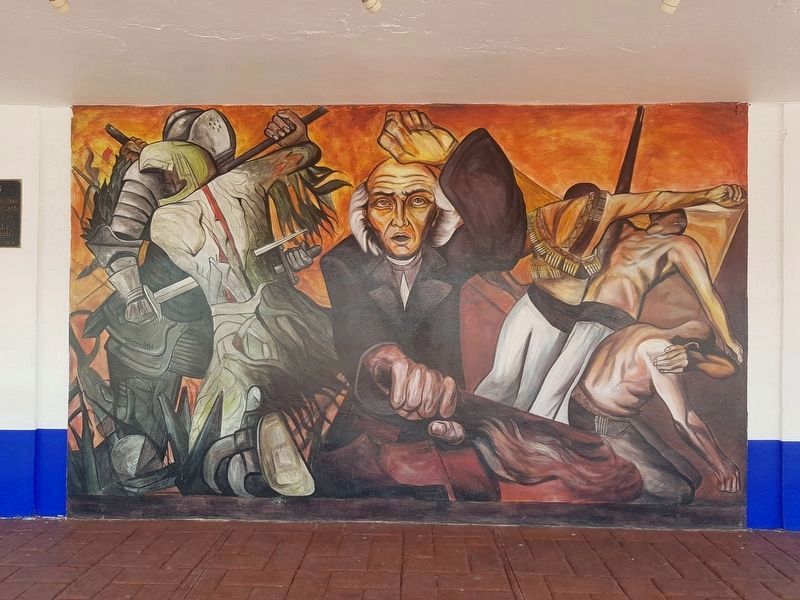
3. A nearby mural of Miguel Hidalgo y Costilla
This mural is interesting as it incorporates details from three separate murals or paintings: "The Fusion of Two Cultures" at the Mexican National History Museum, Jorge González Camarena, 1963 (left), “The People and Its Leaders” at the Palacio Municipal of Guadalajara, Clemente Orozco (center) and "La Trinchera" at the Antiguo Colegio de San Ildefonso, Mexico City, Clemente Orozco (1926) (right).
Credits. This page was last revised on November 3, 2020. It was originally submitted on August 24, 2020, by J. Makali Bruton of Accra, Ghana. This page has been viewed 90 times since then and 7 times this year. Photos: 1, 2, 3. submitted on August 24, 2020, by J. Makali Bruton of Accra, Ghana.

