Buchanan in Berrien County, Michigan — The American Midwest (Great Lakes)
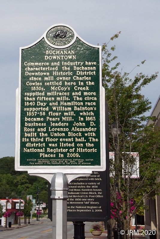
Buchanan Downtown
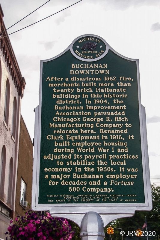
Reverse
After a disastrous 1862 fire, merchants built more than twenty brick Italianate buildings in this historic district. In 1904, the Buchanan Improvement Association persuaded Chicago's George R. Rich to relocate here. Renamed Clark Equipment in 1916, it built employee housing during World War I and adjusted its payroll practices to stabilize the local economy in the 1930s. It was a major Buchanan employer for decades and a Fortune 500 Company.
Erected 2015 by Michigan Historical Commission - Michigan Historical Center. (Marker Number 2276.)
Topics and series. This historical marker is listed in this topic list: Industry & Commerce. In addition, it is included in the Michigan Historical Commission series list. A significant historical year for this entry is 1840.
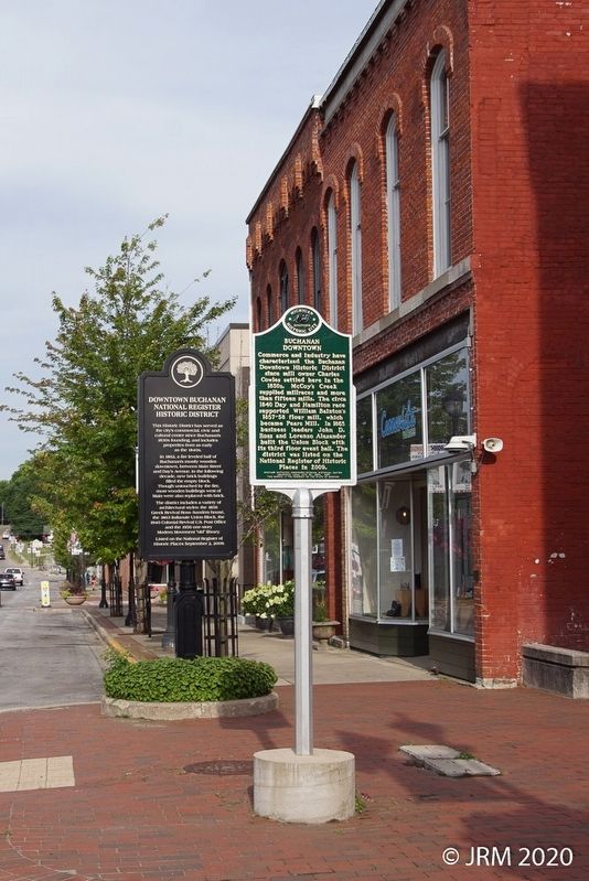
Location. 41° 49.637′ N, 86° 21.621′ W. Marker is in Buchanan, Michigan, in Berrien County. Marker is on East Front Street west of Main Street, on the right when traveling east. Touch for map. Marker is at or near this postal address: 120 Front St, Buchanan MI 49107, United States of America. Touch for directions.
Other nearby markers. At least 8 other markers are within 6 miles of this marker, measured as the crow flies. Downtown Buchanan National Register Historic District (a few steps from this marker); Pears Mill (within shouting distance of this marker); Moccasin Bluff (approx. 1.7 miles away); Portage Prairie United Methodist Church (approx. 3.2 miles away); Carey Mission (approx. 4 miles away); Saint Mary’s (approx. 5 miles away); Johnson Cemetery (approx. 5.1 miles away); Niles Veterans Memorial (approx. 5.2 miles away). Touch for a list and map of all markers in Buchanan.
Credits. This page was last revised on August 27, 2020. It was originally submitted on August 27, 2020, by Lugnuts of Germantown, Wisconsin. This page has been viewed 225 times since then and 21 times this year. Photos: 1, 2, 3. submitted on August 27, 2020, by Lugnuts of Germantown, Wisconsin. • Mark Hilton was the editor who published this page.


