Houston in Chickasaw County, Mississippi — The American South (East South Central)
Light Columns
Photographed by Tom Bosse, August 22, 2020
1. Light Columns Marker
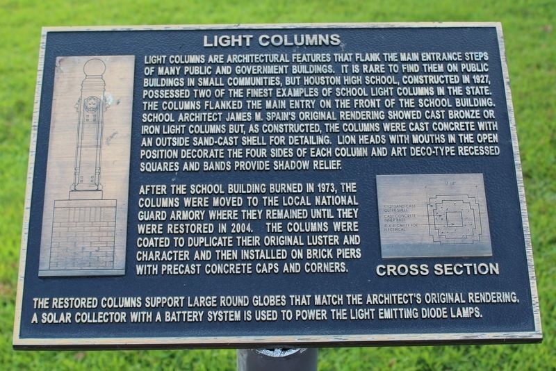
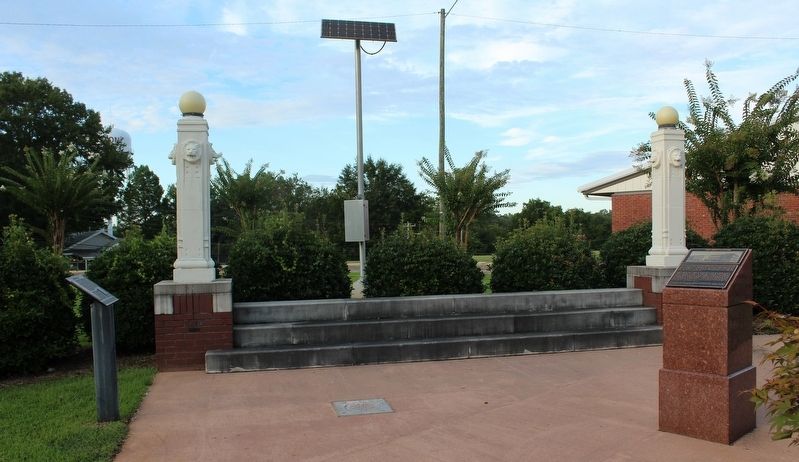
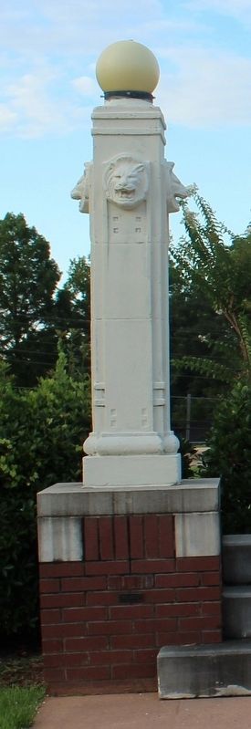
After the school building burned in 1973, the columns were moved to the local national guard armory where they remained until they were restored in 2004. The columns were coated to duplicate their original luster and character and then installed on brick piers with precast concrete caps and corners.
The restored columns support large round globes that match the architect's original rendering. A solar collector
this page online
Topics. This historical marker is listed in these topic lists: Architecture • Education. A significant historical year for this entry is 1927.
Location. 33° 53.771′ N, 88° 59.808′ W. Marker is in Houston, Mississippi, in Chickasaw County. It is on South Starkville Road north of East Harrington Street, on the right when traveling north. Marker is located in front of Houston Elementary School. Touch for map. Marker is at or near this postal address: 123 South Starkville Road, Houston MS 38851, United States of America. Touch for directions.

Regionally, this marker is in the Black Prairie and in the North Mississippi Hills. It is also in the American South, specifically in the Deep South, and in the Black Belt. Globally, it is in North America, a Gulf of Mexico state, the Western Hemisphere, the Western World, and the Anglosphere. Historically, it finds itself in what was once the territory of the Mississippian Culture, one of the Confederate States of America, and the Antebellum South.
Other nearby markers. At least 8 other markers are within walking
Photographed by Tom Bosse, August 22, 2020
2. Light Columns Marker
Marker is located on the left.
Photographed by Tom Bosse, August 22, 2020
3. Light Column
Credits. This page was last revised on August 28, 2020. It was originally submitted on August 27, 2020, by Tom Bosse of Jefferson City, Tennessee. This page has been viewed 393 times since then and 35 times this year. Photos: 1, 2, 3. submitted on August 27, 2020, by Tom Bosse of Jefferson City, Tennessee. • Bernard Fisher was the editor who published this page.
