
Sunnyvale in Santa Clara County, California — The American West (Pacific Coastal)
Prune Heaven
Photographed by Andrew Ruppenstein, August 17, 2020
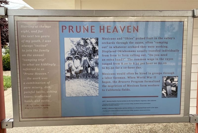
1. Prune Heaven Marker
Mexicans would often be hired in groups through a labor foreman. When World War II began, the Bracero Program formalized the migration of Mexican farm workers to California fields.
Starting at the age
eight, and for
the next ten years
of my youth, I was always "invited"
to join the family "camping trip"
to what we kiddingly referred to as
"Prune Heaven."
...the work was
a combination of
pure misery, dirt,
painful backs, aching
knees, sunburned
hands and necks...
-Rudy Calles, one-time
migrant worker, 1979.
Topics. This historical marker is listed in these topic lists: Agriculture • Industry & Commerce. A significant historical year for this entry is 1979.
Location. 37° 21.378′ N, 122° 1.496′ W. Marker is in Sunnyvale, California,
this page online

Regionally, this marker is in California’s San Francisco Bay Area, in Silicon Valley, and on the Coast Ranges. It is also on the American Pacific Coast. Globally, it is in North America, on the Ring of Fire, in the Pacific Rim, in the Western Hemisphere, in the Western World, and in the Anglosphere. Historically, it finds itself in what was once New Spain and also Mexico’s Alta California.
Other nearby markers. At least 8 other markers are within walking distance of this marker: Labor Day Prunes (here, next to this marker); Prune Capital of the World (here, next to this marker); Yugoslavian Orchardists of Sunnyvale (here, next to this marker); Heritage Park Museum (within shouting distance of this marker); Pippin Clay Glazed Tiles (within shouting distance of this marker); Vintage Sundial (within shouting distance of this marker); Antique Entry Gate (within shouting distance of this marker); Prune Steamer Pot/Hendy Manhole Cover
Photographed by Andrew Ruppenstein, August 17, 2020
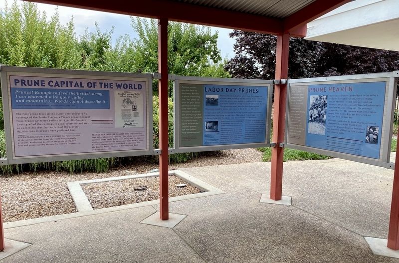
2. Prune Heaven Marker - wide view
More about this marker. The marker is located outdoors under the roof of the orchard interpretive exhibit that is just to the south of the museum.
Courtesy of the California History Center at DeAnza College, August 17, 2020
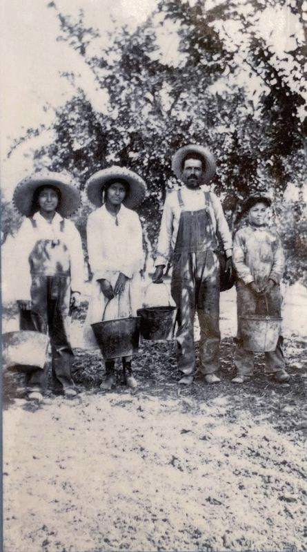
3. Marker detail: Mexican family of prune pickers on the Garrod Ranch, Cupertino, date unknown
Credits. This page was last revised on August 27, 2020. It was originally submitted on August 27, 2020, by Andrew Ruppenstein of Lamorinda, California. This page has been viewed 309 times since then and 17 times this year. Photos: 1, 2, 3. submitted on August 27, 2020, by Andrew Ruppenstein of Lamorinda, California.
